Old Maps of Carnesville, Georgia for Academic Research
Study the evolution of Carnesville with 22 high-resolution historic maps. Whether you're teaching, researching, or modeling changes in land use, these maps provide essential visual documentation of urban, environmental, and geographic change.
- Analyze long-term change: Track patterns in development, transportation, and natural features.
- Ideal for environmental or urban studies: Support academic projects with primary historical map data.
- Use in the classroom or lab: Educators and researchers rely on these maps to bring historical context to life.
These maps are a powerful tool for teaching, research, and visualizing how Carnesville has changed over the decades.
Carnesville, GA maps
(22)- 1891 Map of Carnesville
 1891 Carnesville1891 Print · USGSNortheast Georgia in the late nineteenth century is documented here as a landscape of small river settlements and emerging rail towns. Genealogists can trace family roots through locations like Jewellville, Fort Lamar, and the river crossing at Braggs Fy.6 unique versions available
 - 1954 Map of Greenville, 1965 Print
 1954 Greenville1965 Print · USGSThe Upstate and Northeast Georgia are captured here during a decade of massive transformation as new reservoirs reshaped the Piedmont. Genealogists and hikers can trace the Appalachian Trail over Brasstown Bald or locate old community centers like Demorest, Westminster, and Royston.3 unique versions available
 - 1958 Map of Greenville
 1958 Greenville1958 Print · USGSThe Piedmont and Blue Ridge foothills come alive in this mid-century survey of the Upstate and Northeast Georgia. Trace the regional rail-and-river economy through the Southern Railway corridors and early reservoir developments like Lake Sidney Lanier.
 - 1959 Map of Carnesville, 1961 Print
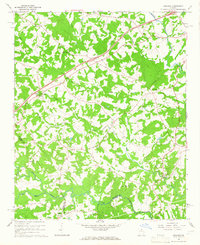
 1959 Carnesville1961 Print · USGSFranklin County in the late fifties shows a rural landscape defined by its river forks and tight-knit communities. Genealogists and historians can trace family locations near Emmanuel College, Liberty Ch, and the crossroads at Sandy Cross.3 unique versions available
 - 1960 Map of Martin, 1962 Print
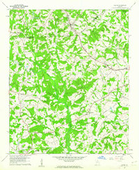 1960 Martin1962 Print · USGSThe Georgia Piedmont in the early sixties remains a landscape of rail-side towns and rural churches connected by the Southern railroad. Genealogists can trace family footprints near Line Academy, the Carnesville Trade Sch, and Zion Hill Cem Ch.3 unique versions available
 - 1964 Map of Ashland, 1965 Print
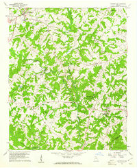
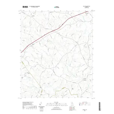
 1964 Ashland1965 Print · USGSFranklin County's rural landscape is captured here in the mid-1960s, showing a region defined by its creek-fed valleys and small communities. Researchers can locate family churches like Arnold Chapel and trace the road to the Covered Bridge near Cromers.2 unique versions available
 - 1979 Map of Commerce, 1980 Print
 1979 Commerce1980 Print · USGSThe Georgia and South Carolina Piedmont reached a period of significant regional growth in the late seventies. Genealogists and historians can trace family roots through locations like Blackberry Church, Old Pioneer Cem, and the Gillsville Sch.2 unique versions available
 - 2011 Map of Ashland, 2011 Print
 2011 Ashland2011 Print · USGSCovers Carnesville, including Hebron, Ashland, and other nearby areas
 - 2011 Map of Martin, 2011 Print
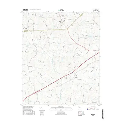
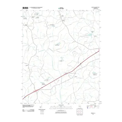 2011 Martin2011 Print · USGSCovers Carnesville, including Lavonia, Avalon, and other nearby areas
 - 2011 Map of Carnesville, 2011 Print
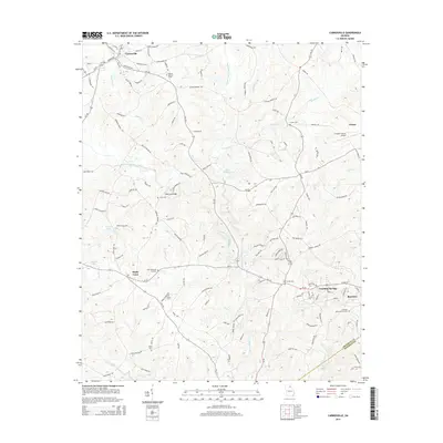
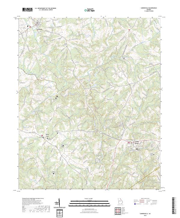
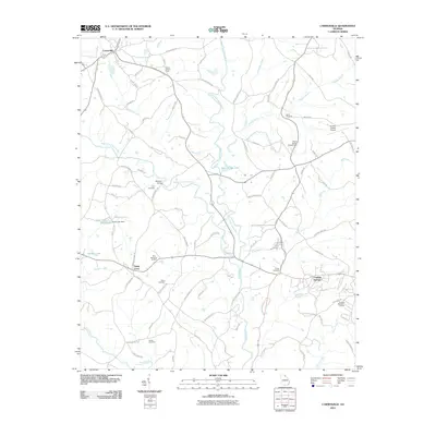 2011 Carnesville2011 Print · USGSCovers Carnesville, including Royston, Franklin Springs, and other nearby areas
 - 2014 Map of Ashland, 2014 Print
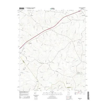 2014 Ashland2014 Print · USGSCovers Carnesville, including Hebron, Ashland, and other nearby areas
 - 2014 Map of Martin, 2014 Print
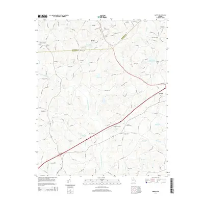 2014 Martin2014 Print · USGSCovers Carnesville, including Lavonia, Avalon, and other nearby areas
 - 2014 Map of Carnesville, 2014 Print
 2014 Carnesville2014 Print · USGSCovers Carnesville, including Royston, Franklin Springs, and other nearby areas
 - 2017 Map of Ashland, 2017 Print
 2017 Ashland2017 Print · USGSCovers Carnesville, including Hebron, Ashland, and other nearby areas
 - 2017 Map of Martin, 2017 Print
 2017 Martin2017 Print · USGSCovers Carnesville, including Lavonia, Avalon, and other nearby areas
 - 2017 Map of Carnesville, 2017 Print
 2017 Carnesville2017 Print · USGSCovers Carnesville, including Royston, Franklin Springs, and other nearby areas
 - 2020 Map of Ashland, 2020 Print
 2020 Ashland2020 Print · USGSCovers Carnesville, including Hebron, Ashland, and other nearby areas
 - 2020 Map of Martin, 2020 Print
 2020 Martin2020 Print · USGSCovers Carnesville, including Lavonia, Avalon, and other nearby areas
 - 2020 Map of Carnesville, 2020 Print
 2020 Carnesville2020 Print · USGSCovers Carnesville, including Royston, Franklin Springs, and other nearby areas
 - 2024 Map of Ashland, 2024 Print
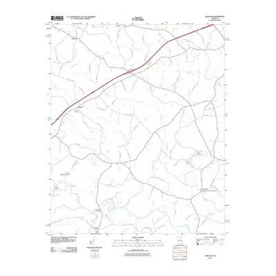
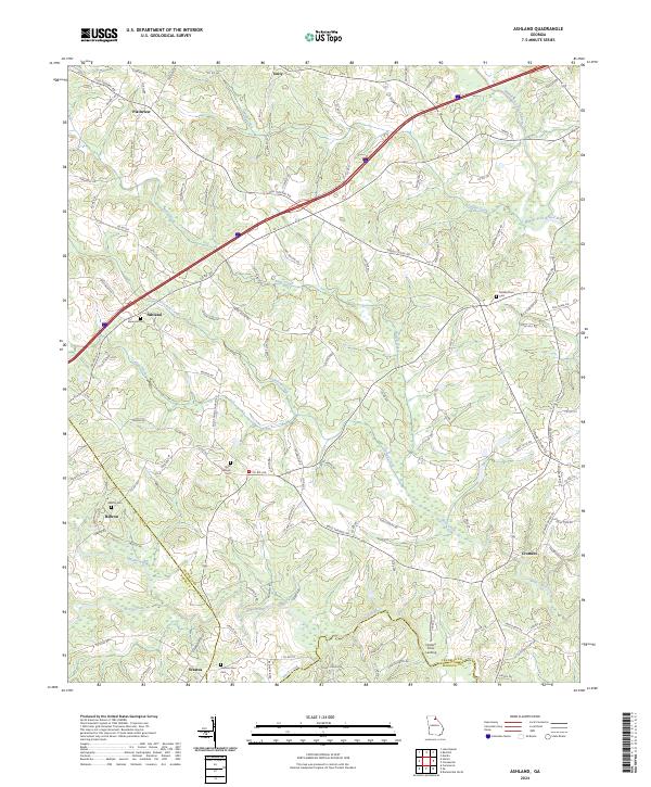 2024 Ashland2024 Print · USGSFranklin County and its neighbors are shown here in recent years as a landscape of rural communities and historic routes. Genealogists can trace family landmarks and local burial sites like Hebron Cem, Hudson River Cem, and the old settlement at Ashland.
 - 2024 Map of Carnesville, 2024 Print
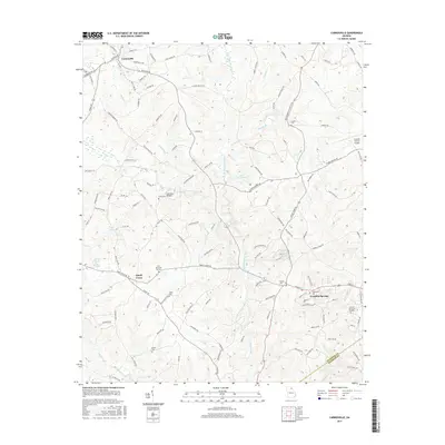
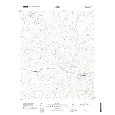
 2024 Carnesville2024 Print · USGSFranklin County at the dawn of the 2020s shows a landscape of established colleges and historic county seats centered on the Broad River forks. Genealogists can trace family names through Zidon Cem, Crow Cem, and the grounds of Emmanuel College.
 - 2024 Map of Martin, 2024 Print
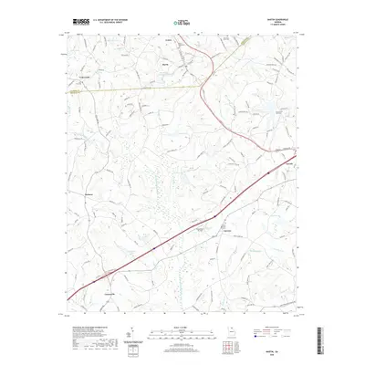
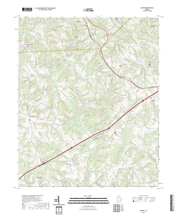 2024 Martin2024 Print · USGSSpanning the border of Stephens and Franklin Counties, this recent survey captures the rural landscape between Martin and Lavonia. Researchers can pinpoint historic family burial sites at Martin Community Cem and Toms Creek Cem or trace the North Fork Broad River.
End of results
Showing maps 1-22 of 22
Top cities near Carnesville
- Toccoa historical maps
- Commerce historical maps
- Royston historical maps
- Lavonia historical maps
- Franklin Springs historical maps
- Bowman historical maps
See more
Frequently asked questions
- What are the different types of historical maps available for Carnesville?
- What is the oldest map of Carnesville?
- Where can I purchase historical maps of Carnesville for my home or office?
- Where can I download high-res historical maps of Carnesville?
- Are there historical topographic maps available for Carnesville?
- Is there historical aerial imagery available for Carnesville?
- Where are historical maps of Carnesville sourced from?