Old Maps of Milton, Georgia for Hiking & Exploration
Hike through history with 35 historic maps of Milton. Explore old trails, ghost towns, and forgotten backroads — perfect for outdoor adventurers and local explorers.
- Rediscover forgotten places: Map out old mining camps, roads, and footpaths that no longer exist on modern maps.
- Layer with modern tools: Combine with LiDAR or satellite views to plan hikes through historical terrain.
- Made for exploration: Popular among hikers, overlanders, and local history lovers.
Use these maps to find adventure and explore the hidden past of Milton.
Milton, GA maps
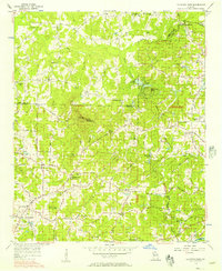
(35)- 1890 Map of Suwanee
 1890 Suwanee1890 Print · USGSNorth Georgia in the 1890s was a landscape of river-powered commerce and gold prospecting. Genealogists and historians can trace family-named river crossings like Jones Ferry and Pirkle's Ferry or locate the historic Kin Mori Gold Mine.
 - 1894 Map of Suwanee
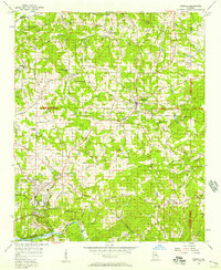
 1894 Suwanee1894 Print · USGSNorth Georgia in the late nineteenth century was a landscape of river ferries and rising industry, from marble quarries to gold mines. Genealogists can trace family landmarks like Fields Cross Roads, the Kin Mori Gold Mine, and Fort Buffington.6 unique versions available
 - 1955 Map of Rome
 1955 Rome1955 Print · USGSThe tri-state borderlands of Georgia, Alabama, and Tennessee appear in the mid-fifties as a landscape of ridge-and-valley industry and river navigation. Genealogists can trace family footprints near Chattanooga, the iron works of Gadsden, and textile towns like Trion or Summerville.
 - 1956 Map of Duluth, 1957 Print
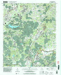
 1956 Duluth1957 Print · USGSGwinnett and Fulton counties are captured in the mid-fifties, just as the rural river settlements began to evolve. Genealogists can trace early landmarks like Shake Rag, Hull High Sch, and the many churches from Warsaw to Brookwood.4 unique versions available
 - 1956 Map of Mountain Park, 1957 Print
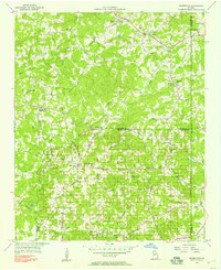
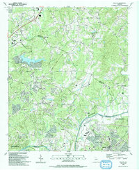
 1956 Mountain Park1957 Print · USGSNorth Georgia in the mid-fifties remains a world of country churches and winding rural roads across the Cobb and Cherokee county lines. Trace family history through landmarks like Wesley Chapel, the Mountain View Sch, and the old crossing at Arnold Mill.6 unique versions available
 - 1956 Map of Roswell, 1957 Print
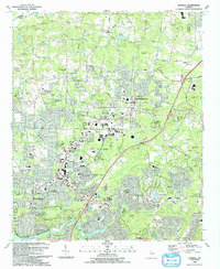
 1956 Roswell1957 Print · USGSNorthern Fulton County in the mid-fifties remains a world of quiet crossroads and rural parishes before the modern expansion. Researchers can trace ancestral locations at Crabapple, Newtown, and Lebanon Ch, or locate the County Prison Camp and Rock Quarry.5 unique versions available
 - 1956 Map of Birmingham, 1957 Print
 1956 Birmingham1957 Print · USGSNorth Georgia in the mid-1950s reveals a landscape of tight-knit rural communities and family-named roads. Trace your heritage through the Union Hill Sch, the Holbrook Campground, and country churches like Boiling Spring Ch.4 unique versions available
 - 1958 Map of Rome, 1966 Print
 1958 Rome1966 Print · USGSNorthwest Georgia and neighboring Tennessee and Alabama are captured here in the late fifties, showcasing a landscape of high ridges and river valleys. Researchers can trace historic rail lines like the Seaboard Air Line RR and explore the bounds of Cloudland Canyon State Park or Fort Oglethorpe.3 unique versions available
 - 1961 Map of Rome
 1961 Rome1961 Print · USGSNorthwest Georgia and neighboring Tennessee and Alabama are shown here at a moment of significant mid-century growth. Researchers can trace the rail networks of the Central of Georgia or locate landmarks within Chickamauga and Chattanooga Nat Military Park.
 - 1963 Map of Rome
 1963 Rome1963 Print · USGSThe tri-state corner of Georgia, Alabama, and Tennessee is captured here during a period of massive reservoir expansion and post-war growth. Genealogists and historians can trace the rail corridors of the Southern Ry or locate landmarks like Fort Oglethorpe and Cloudland Canyon State Park.
 - 1981 Map of Cartersville, 1982 Print
 1981 Cartersville1982 Print · USGSNorth Georgia at the start of the eighties shows a landscape defined by massive reservoirs and historic rail corridors. Researchers can trace the heritage of the Etowah Indian Mounds or locate old junctions along the Southern Railway and Seaboard Coast Line.2 unique versions available
 - 1992 Map of Mountain Park
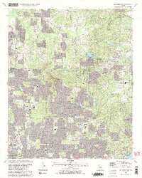 1992 Mountain Park1992 Print · USGSCobb and Cherokee Counties are seen during a period of rapid suburban growth in the early nineties. Genealogists can trace family names and local landmarks through Arnold Mill, Crossroad Church, and the Arnold Cem near the Fulton County line.2 unique versions available
 - 1992 Map of Roswell, 1993 Print
 1992 Roswell1993 Print · USGSThe North Fulton corridor was evolving rapidly in the early nineties as residential growth began to bridge the gap between Alpharetta and Roswell. Genealogists and local historians can trace legacy landmarks including Old Newton School, Greenlawn Cemetery, and the community of Crabapple.2 unique versions available
 - 1992 Map of Duluth, 1993 Print
 1992 Duluth1993 Print · USGSGwinnett and Fulton counties were undergoing rapid transformation in the early nineties as suburban growth reached historic hamlets. Local historians can trace the foundations of Ocee and Shake Rag or locate family sites like Rogers Cem and Union Hill Ch.
 - 1999 Map of Duluth, 2003 Print
 1999 Duluth2003 Print · USGSNorth Atlanta’s suburban expansion is in full swing at the close of the twentieth century, bridging the space between Gwinnett and Fulton counties. Researchers can trace the evolution of rural communities into modern suburbs through landmarks like Union Hill Ch, Lake Windward, and the Rogers Cem.
 - 2011 Map of Birmingham, 2011 Print
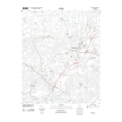
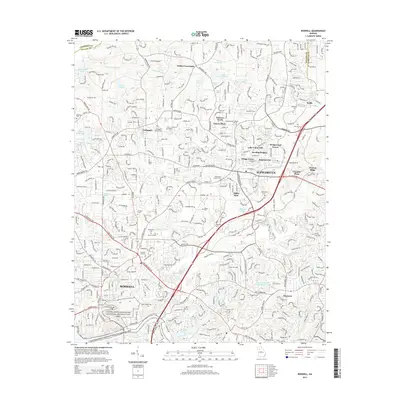
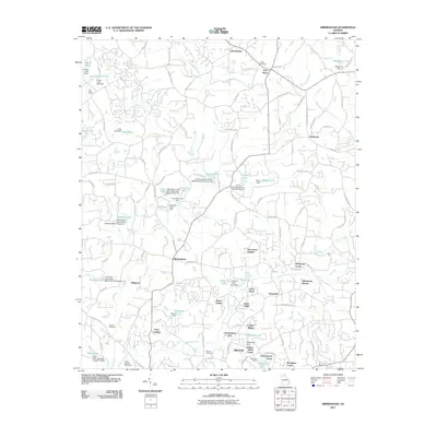 2011 Birmingham2011 Print · USGSCovers Milton, including Lathemtown, Holbrook, and other nearby areas
 - 2011 Map of Roswell, 2011 Print
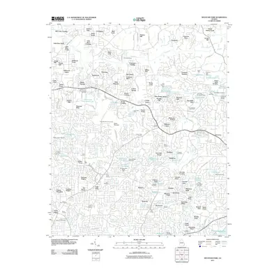
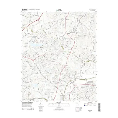
 2011 Roswell2011 Print · USGSCovers Milton, including Sandy Springs, Roswell, and other nearby areas
 - 2011 Map of Mountain Park, 2011 Print
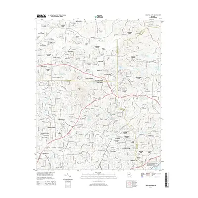
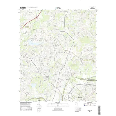
 2011 Mountain Park2011 Print · USGSCovers Milton, including Sandy Springs, Roswell, and other nearby areas
 - 2011 Map of Duluth, 2011 Print
 2011 Duluth2011 Print · USGSCovers Milton, including Johns Creek, Alpharetta, and other nearby areas
 - 2014 Map of Mountain Park, 2014 Print
 2014 Mountain Park2014 Print · USGSCovers Milton, including Sandy Springs, Roswell, and other nearby areas
 - 2014 Map of Birmingham, 2014 Print
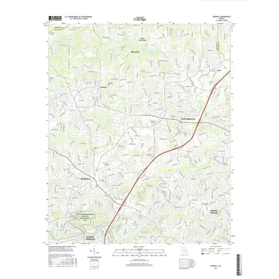
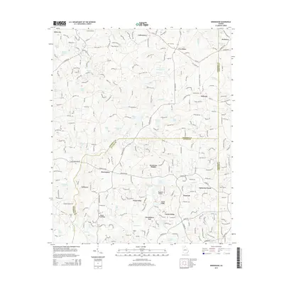 2014 Birmingham2014 Print · USGSCovers Milton, including Lathemtown, Holbrook, and other nearby areas
 - 2014 Map of Roswell, 2014 Print
 2014 Roswell2014 Print · USGSCovers Milton, including Sandy Springs, Roswell, and other nearby areas
 - 2014 Map of Duluth, 2014 Print
 2014 Duluth2014 Print · USGSCovers Milton, including Johns Creek, Alpharetta, and other nearby areas
 - 2017 Map of Duluth, 2017 Print
 2017 Duluth2017 Print · USGSCovers Milton, including Johns Creek, Alpharetta, and other nearby areas
 - 2017 Map of Roswell, 2017 Print
 2017 Roswell2017 Print · USGSCovers Milton, including Sandy Springs, Roswell, and other nearby areas
Showing maps 1-25 of 35
Top cities near Milton
- Sandy Springs historical maps
- Roswell historical maps
- Johns Creek historical maps
- Alpharetta historical maps
- Marietta historical maps
- Brookhaven historical maps
See more
Top neighborhoods of Milton
- Hopewell historical maps
- Birmingham historical maps
- Crabapple historical maps
- Laurel Grove historical maps
- Bentgrass Farms historical maps
- Sunnybrook Farms historical maps
See more
Frequently asked questions
- What are the different types of historical maps available for Milton?
- What is the oldest map of Milton?
- Where can I purchase historical maps of Milton for my home or office?
- Where can I download high-res historical maps of Milton?
- Are there historical topographic maps available for Milton?
- Is there historical aerial imagery available for Milton?
- Where are historical maps of Milton sourced from?