2020s Maps of Glynn County, Georgia
Explore 32 historic maps of Glynn County from the 2020s. These maps offer a rare glimpse into what life looked like during the 2020s — showing old roads, neighborhoods, homes, and landmarks that have changed or disappeared over time.
Whether you're researching your family's past, planning a metal detecting trip, or studying how Glynn County's landscape evolved across the 2020s, these high-resolution maps are a powerful tool for exploring the history of this region.
- Focus on a specific era: All maps on this page are from the 2020s, giving you a focused view of this time period.
- See what’s changed: Compare century-old streets, trails, and buildings to today's modern landscape using overlays and satellite layers.
- Research with precision: Use these maps for genealogy, historical research, land use analysis, or educational projects.
- View, download, or print: Maps are fully viewable online in high resolution, and can be downloaded or printed for your own records.
Start exploring Glynn County's history through authentic maps from the 2020s. This is your window into the past.
Glynn County, GA maps
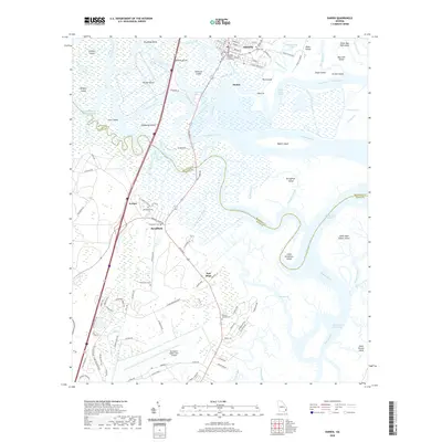
(32)- 2020 Map of Browntown, 2020 Print
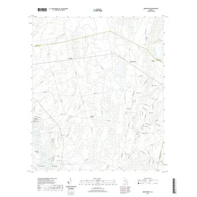 2020 Browntown2020 Print · USGSCovers Glynn County, including Browntown, Fendig, and other nearby areas
 - 2020 Map of Cumberland Island North, 2020 Print
 2020 Cumberland Island North2020 Print · USGSCovers Glynn County, including High Point, Camden County, and other nearby areas
 - 2020 Map of Brunswick West, 2020 Print
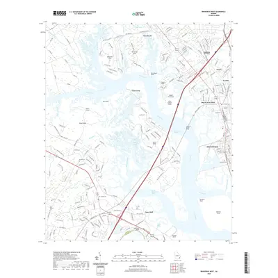 2020 Brunswick West2020 Print · USGSCovers Glynn County, including Brunswick, Dock Junction, and other nearby areas
 - 2020 Map of Bladen, 2020 Print
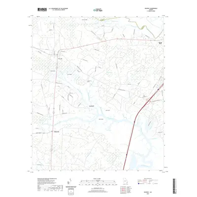
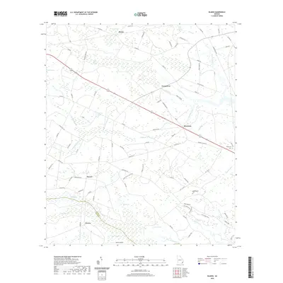 2020 Bladen2020 Print · USGSCovers Glynn County, including Glencoe, Hayner, and other nearby areas
 - 2020 Map of Altamaha Sound, 2020 Print
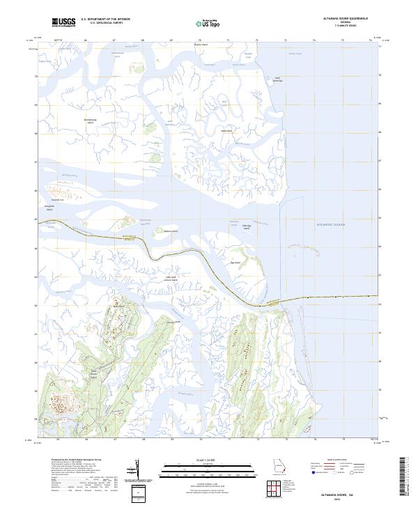
 2020 Altamaha Sound2020 Print · USGSCovers Glynn County, including Darien, McIntosh County, and other nearby areas
 - 2020 Map of Thalmann, 2020 Print
 2020 Thalmann2020 Print · USGSCovers Glynn County, including Jamaica, Popwellville, and other nearby areas
 - 2020 Map of Darien, 2020 Print
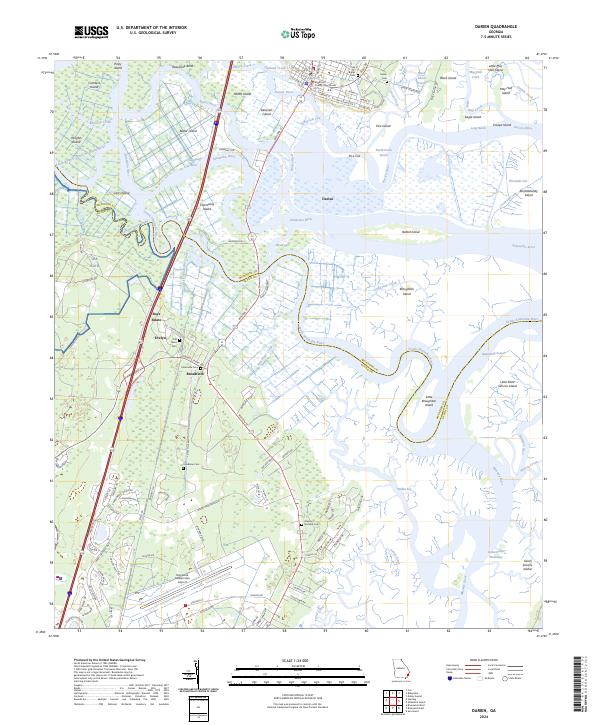
 2020 Darien2020 Print · USGSCovers Glynn County, including Darien, Bel-Air, and other nearby areas
 - 2020 Map of Cox, 2020 Print
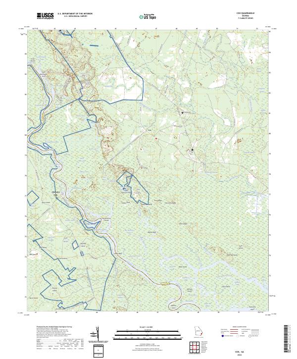
 2020 Cox2020 Print · USGSCovers Glynn County, including Cox, Altamaha Park, and other nearby areas
 - 2020 Map of Waynesville, 2020 Print
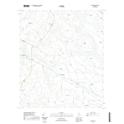
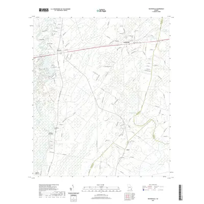 2020 Waynesville2020 Print · USGSCovers Glynn County, including Atkinson, Salter, and other nearby areas
 - 2020 Map of Brunswick East, 2020 Print
 2020 Brunswick East2020 Print · USGSCovers Glynn County, including Brunswick, Saint Simons, and other nearby areas
 - 2020 Map of Sea Island, 2020 Print
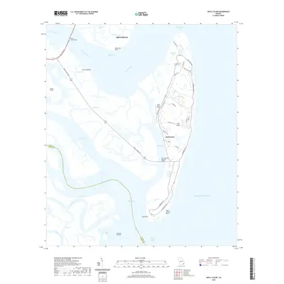
 2020 Sea Island2020 Print · USGSCovers Glynn County, including Harrington, Sea Island, and other nearby areas
 - 2020 Map of Everett, 2020 Print
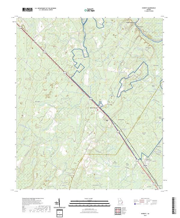
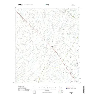 2020 Everett2020 Print · USGSCovers Glynn County, including Lower Sansavilla, Wayne County, and other nearby areas
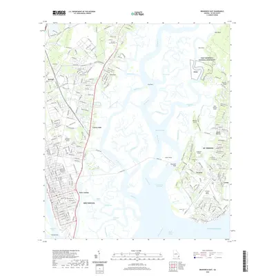
 - 2020 Map of Jekyll Island, 2020 Print
 2020 Jekyll Island2020 Print · USGSCovers Glynn County, including Brunswick, Camden County, and other nearby areas
 - 2020 Map of Waverly, 2020 Print
 2020 Waverly2020 Print · USGSCovers Glynn County, including Spring Bluff, Waverly, and other nearby areas
 - 2020 Map of Dover Bluff, 2020 Print
 2020 Dover Bluff2020 Print · USGSCovers Glynn County, including Brunswick, Piney Bluff, and other nearby areas
 - 2020 Map of Sterling, 2020 Print
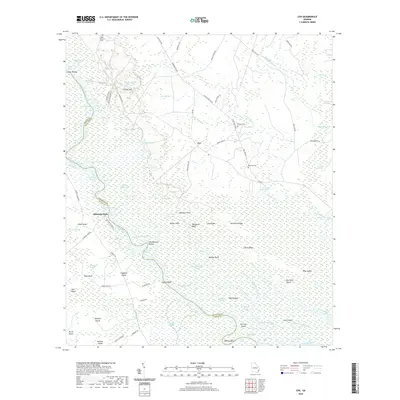
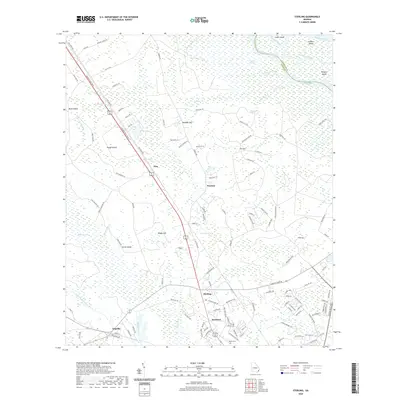 2020 Sterling2020 Print · USGSCovers Glynn County, including Frazers Crossing, Pennick, and other nearby areas
 - 2024 Map of Waverly, 2024 Print
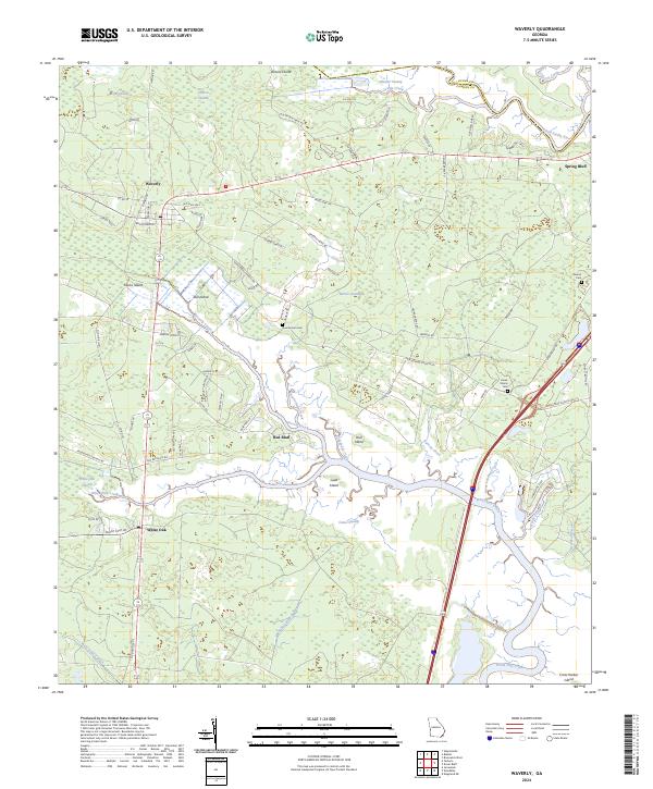 2024 Waverly2024 Print · USGSThe coastal wetlands of Camden County are captured in this contemporary survey of the Waverly and White Oak vicinity. Genealogists and historians can locate legacy sites like Magnolia Plantation and family markers at Quarterman Cem or Benton Cem.
 - 2024 Map of Sea Island, 2024 Print
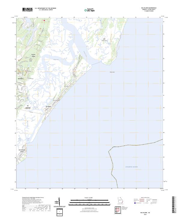 2024 Sea Island2024 Print · USGSCoastal Georgia's barrier islands are captured in detail during the twenty-first century, showing the evolved landscape of St. Simons. Genealogists and historians can trace local development near German Village, the site of Bloody Marsh, and Harrington.
 - 2024 Map of Waynesville, 2024 Print
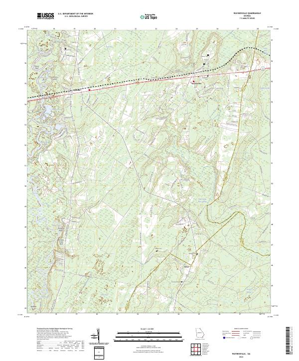 2024 Waynesville2024 Print · USGSCoastal Georgia's riverine lowlands and rural settlements are documented here in the early twenty-first century. Family history researchers can trace local roots through numerous sites like Ammons Cem, Salter, and the river landings near Honey Bluff.
 - 2024 Map of Thalmann, 2024 Print
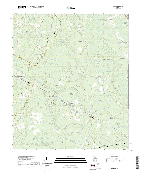 2024 Thalmann2024 Print · USGSCoastal Georgia's lowlands come into focus in the early 2020s, revealing a landscape where family history is etched into the hammocks and swamps. Researchers can trace ancestral roots at Blount Crossing Cem, explore the area around Thalmann, or locate the site of Popwellville.
 - 2024 Map of Cox, 2024 Print
 2024 Cox2024 Print · USGSCoastal Georgia's riverine landscape is captured here in the early twenty-first century as the Altamaha River winds through McIntosh County. Local historians can trace family landmarks and rural life at Cox, Altamaha Park, and the Gardner Poppell Cem.
 - 2024 Map of Altamaha Sound, 2024 Print
 2024 Altamaha Sound2024 Print · USGSGeorgia's coastal marshes and barrier islands are captured in detail here during the early twenty-first century. Genealogists and local historians can trace family-named routes like Butler Plantation Rd and Pikes Bluff Dr near Cannons Point.
 - 2024 Map of Cumberland Island North, 2024 Print
 2024 Cumberland Island North2024 Print · USGSCoastal Georgia's barrier island wilderness is preserved here in the modern era, showing the intersection of maritime history and natural preservation. Researchers can locate the Cumberland Cem, trace the Roller Coaster Trl, and explore the marshes of Brickhill Bluff.
 - 2024 Map of Everett, 2024 Print
 2024 Everett2024 Print · USGSCoastal Georgia's riverine corridor near the Altamaha comes to life in this survey of the Everett and Mount Pleasant vicinities. Trace local family history at Mount Pleasant Cem and explore the shifting landscape between Sansavilla Bluff and the banks of the Altamaha River.
 - 2024 Map of Darien, 2024 Print
 2024 Darien2024 Print · USGSThe Georgia coast near the mouth of the Altamaha River reveals a complex network of marsh islands and historic tidewater settlements. Researchers can trace the legacy of the river economy through the Brunswick-Altamaha Canal and find local history at the Old Slave Cem and Indian Cem.
Showing maps 1-25 of 32
Top cities of Glynn County
- Brunswick historical maps
- Saint Simons historical maps
- Country Club Estates historical maps
- Dock Junction historical maps
Frequently asked questions
- What are the different types of historical maps available for Glynn County?
- What is the oldest map of Glynn County?
- Where can I purchase historical maps of Glynn County for my home or office?
- Where can I download high-res historical maps of Glynn County?
- Are there historical topographic maps available for Glynn County?
- Is there historical aerial imagery available for Glynn County?
- Where are historical maps of Glynn County sourced from?