2020s Maps of Grady County, Georgia
Explore 32 historic maps of Grady County from the 2020s. These maps offer a rare glimpse into what life looked like during the 2020s — showing old roads, neighborhoods, homes, and landmarks that have changed or disappeared over time.
Whether you're researching your family's past, planning a metal detecting trip, or studying how Grady County's landscape evolved across the 2020s, these high-resolution maps are a powerful tool for exploring the history of this region.
- Focus on a specific era: All maps on this page are from the 2020s, giving you a focused view of this time period.
- See what’s changed: Compare century-old streets, trails, and buildings to today's modern landscape using overlays and satellite layers.
- Research with precision: Use these maps for genealogy, historical research, land use analysis, or educational projects.
- View, download, or print: Maps are fully viewable online in high resolution, and can be downloaded or printed for your own records.
Start exploring Grady County's history through authentic maps from the 2020s. This is your window into the past.
Grady County, GA maps
(32)- 2020 Map of Cairo South, 2020 Print
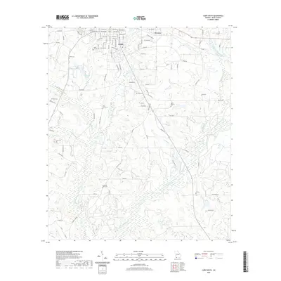 2020 Cairo South2020 Print · USGSCovers Grady County, including Cairo, Midway, and other nearby areas
 - 2020 Map of Calvary, 2020 Print
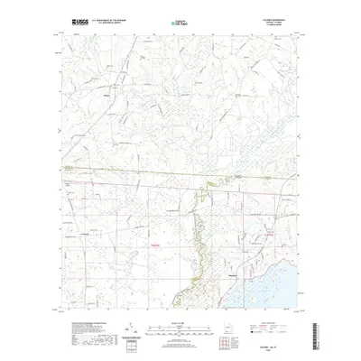 2020 Calvary2020 Print · USGSCovers Grady County, including Concord, Pine Hill, and other nearby areas
 - 2020 Map of Beachton, 2020 Print
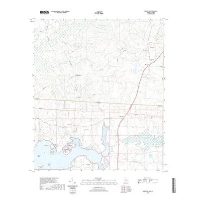 2020 Beachton2020 Print · USGSCovers Grady County, including Moncrief, Beachton, and other nearby areas
 - 2020 Map of Climax South, 2020 Print
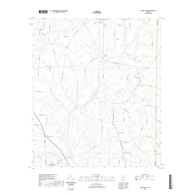 2020 Climax South2020 Print · USGSCovers Grady County, including Attapulgus, Climax, and other nearby areas
 - 2020 Map of Pine Park, 2020 Print
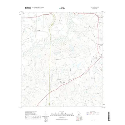 2020 Pine Park2020 Print · USGSCovers Grady County, including Thomasville, Pine Park, and other nearby areas
 - 2020 Map of Miccosukee NE, 2020 Print
 2020 Miccosukee NE2020 Print · USGSCovers Grady County, including Leon County, Thomas County, and other nearby areas
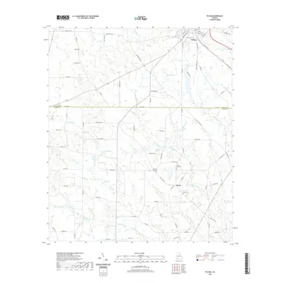
 - 2020 Map of Reno, 2020 Print
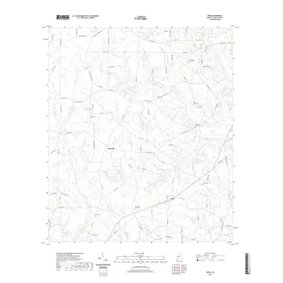 2020 Reno2020 Print · USGSCovers Grady County, including Tama, Reno, and other nearby areas
 - 2020 Map of Whigham, 2020 Print
 2020 Whigham2020 Print · USGSCovers Grady County, including Whigham, Boydville, and other nearby areas
 - 2020 Map of Climax North, 2020 Print
 2020 Climax North2020 Print · USGSCovers Grady County, including Bainbridge, Climax, and other nearby areas
 - 2020 Map of Ochlocknee, 2020 Print
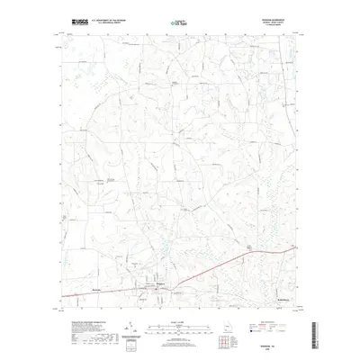
 2020 Ochlocknee2020 Print · USGSCovers Grady County, including Ochlocknee, Dawesville, and other nearby areas
 - 2020 Map of Cairo North, 2020 Print
 2020 Cairo North2020 Print · USGSCovers Grady County, including Cairo, Capel, and other nearby areas
 - 2020 Map of Meigs, 2020 Print
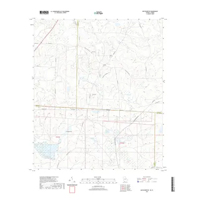
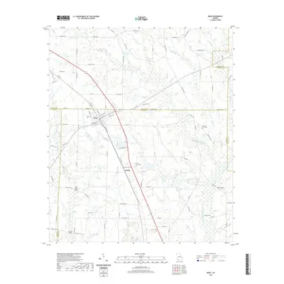 2020 Meigs2020 Print · USGSCovers Grady County, including Meigs, Hansell, and other nearby areas
 - 2020 Map of Pelham, 2020 Print
 2020 Pelham2020 Print · USGSCovers Grady County, including Pelham, Union Hill, and other nearby areas
 - 2020 Map of Gee Pond, 2020 Print
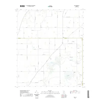
 2020 Gee Pond2020 Print · USGSCovers Grady County, including Harrells Still, Pawnee, and other nearby areas
 - 2020 Map of Vada, 2020 Print
 2020 Vada2020 Print · USGSCovers Grady County, including Mount Pleasant, Vada, and other nearby areas
 - 2021 Map of Havana North, 2021 Print
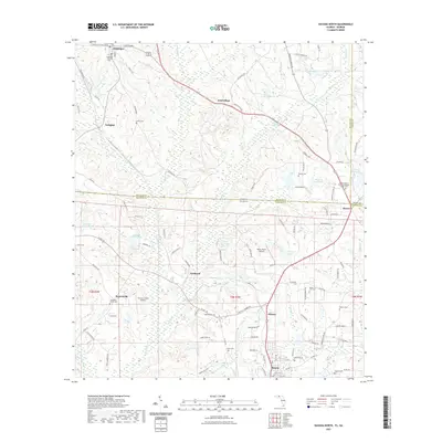 2021 Havana North2021 Print · USGSCovers Grady County, including Havana, Attapulgus, and other nearby areas
 - 2024 Map of Gee Pond, 2024 Print
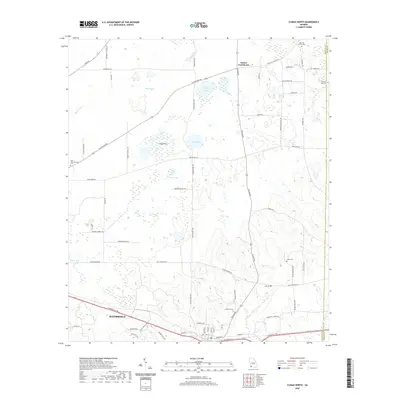
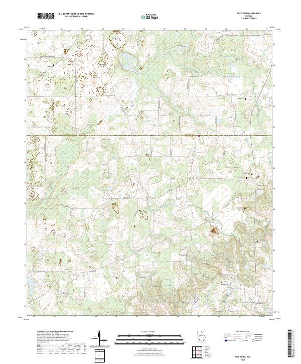 2024 Gee Pond2024 Print · USGSThe Mitchell and Grady County line in Southwest Georgia is captured here during the modern era, revealing a landscape of unique karst features and family landholdings. Researchers can locate several rural burial sites and distinct geographical landmarks like Devils Den, Mizpah Cem, and Chambless Sink.
 - 2024 Map of Meigs, 2024 Print
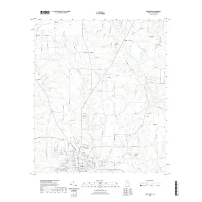
 2024 Meigs2024 Print · USGSMeigs and the community of Quality are mapped here at the four-way junction of Mitchell, Thomas, Grady, and Colquitt counties. Genealogists can trace local roots through numerous burial sites including Lee White Family Cem and Sunset Cem.
 - 2024 Map of Vada, 2024 Print
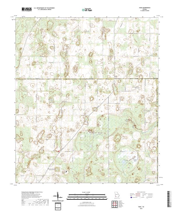 2024 Vada2024 Print · USGSThe rural crossing at Vada comes into focus in this recent survey of the Decatur and Mitchell County borderlands. Genealogists and historians can trace family-named landmarks and resting places like Brock Cem and Sutton Chapel United Methodist Church Cem.
 - 2024 Map of Miccosukee NE, 2024 Print
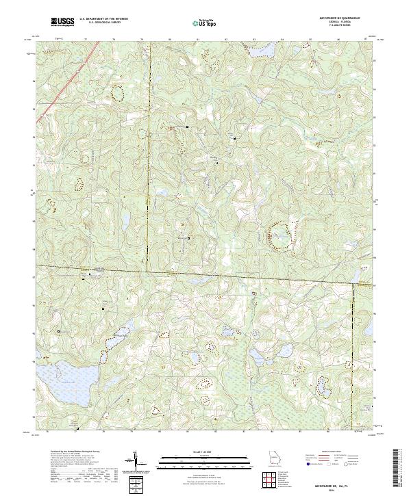 2024 Miccosukee NE2024 Print · USGSStraddling the Georgia-Florida line in the early twenty-first century, this landscape is defined by large landholdings and numerous community burial grounds. Researchers can locate family landmarks like the Massey and Pope Cem or the Old Union African American Cem and trace the shores of Foshalee Lake.
 - 2024 Map of Pine Park, 2024 Print
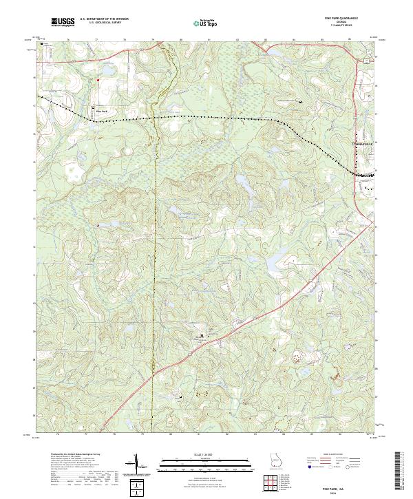 2024 Pine Park2024 Print · USGSSouthwest Georgia's plantation country is documented here, showing the rural landscapes between the Grady and Thomas county lines. Researchers can trace local lineage at the Pebble Hill Workers Cem, Sinkola Cem, and the historic Greenwood Plantation.
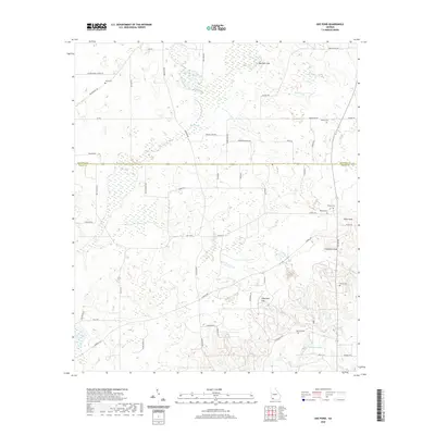
 - 2024 Map of Reno, 2024 Print
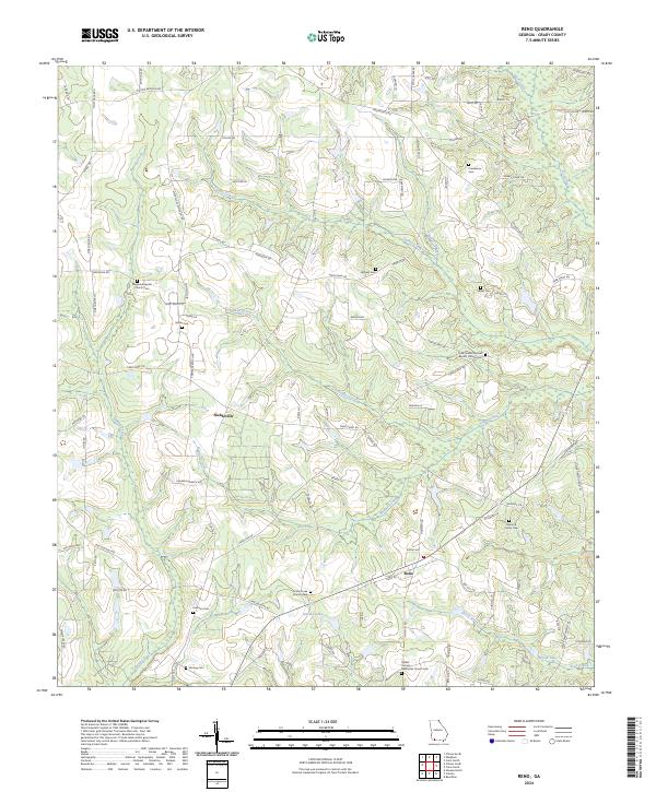 2024 Reno2024 Print · USGSGrady County, Georgia, is revealed here as it appears today, a region defined by its long-standing rural settlements and family legacies. Genealogists and historians can trace local roots through numerous sites like Nickleville, the Harrison Cem, and Saint Luke Church Cem.
 - 2024 Map of Ochlocknee, 2024 Print
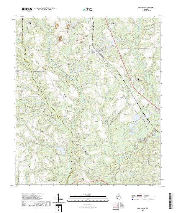 2024 Ochlocknee2024 Print · USGSThe border of Grady and Thomas counties comes alive in this contemporary view of South Georgia's agricultural and riverine landscape. Family historians can trace local roots through the Ochlocknee City Cem, Whippoorwill Cem, and the community of Dawesville.
 - 2024 Map of Climax North, 2024 Print
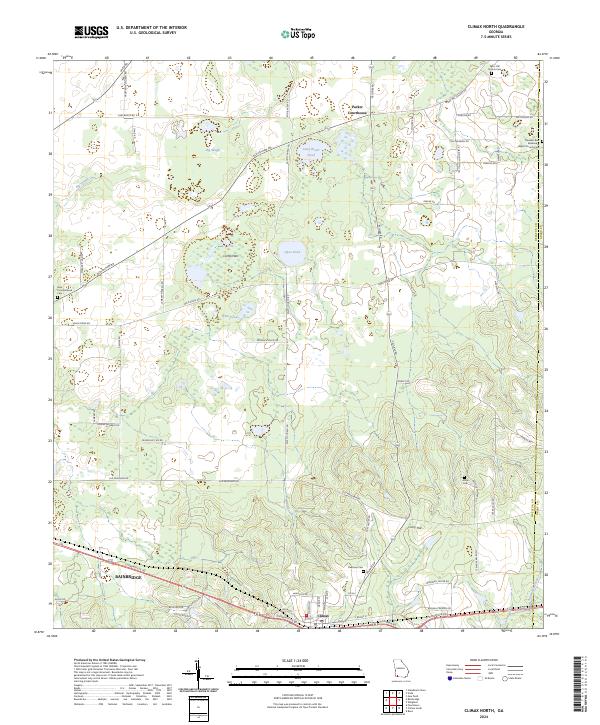 2024 Climax North2024 Print · USGSDecatur County, Georgia, is captured in this modern survey as the town of Climax and the surrounding rural landscapes continue to evolve. Researchers can trace family history at sites like Mars Hill Church Cem, Arline Cem, and the historic Parker Courthouse community.
 - 2024 Map of Beachton, 2024 Print
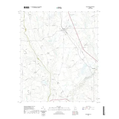
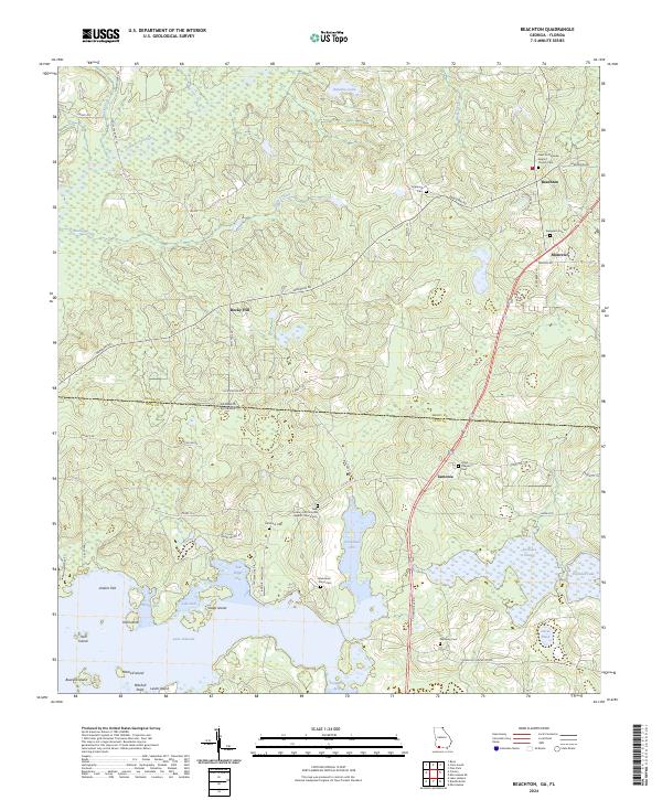 2024 Beachton2024 Print · USGSThe Georgia-Florida borderlands near Beachton are shown here in modern detail, where the state line bisects rural tracts and plantation lands. Genealogists can trace family burial sites at Van Brunt Cem or Blackshear - Floyd Cem near the banks of Lake Iamonia.
Showing maps 1-25 of 32
Top cities of Grady County
Frequently asked questions
- What are the different types of historical maps available for Grady County?
- What is the oldest map of Grady County?
- Where can I purchase historical maps of Grady County for my home or office?
- Where can I download high-res historical maps of Grady County?
- Are there historical topographic maps available for Grady County?
- Is there historical aerial imagery available for Grady County?
- Where are historical maps of Grady County sourced from?