Old Maps of Habersham County, Georgia for Hiking & Exploration
Hike through history with 88 historic maps of Habersham County. Explore old trails, ghost towns, and forgotten backroads — perfect for outdoor adventurers and local explorers.
- Rediscover forgotten places: Map out old mining camps, roads, and footpaths that no longer exist on modern maps.
- Layer with modern tools: Combine with LiDAR or satellite views to plan hikes through historical terrain.
- Made for exploration: Popular among hikers, overlanders, and local history lovers.
Use these maps to find adventure and explore the hidden past of Habersham County.
Habersham County, GA maps
(88)- 1886 Map of Dahlonega
 1886 Dahlonega1886 Print · USGSThe North Georgia mountains in the mid-1880s reveal a landscape of mining camps and early settlements before the modern era. Genealogists and historians can trace family-named landmarks like Helton's Field and Osbornes, or locate the Findley Mine and the Indian Mound.
 - 1886 Map of Walhalla
 1886 Walhalla1886 Print · USGSThe foothills of the Blue Ridge come alive in this late nineteenth-century survey of the Georgia and South Carolina borderlands. Genealogists and historians can trace the early rail networks through Walhalla and Toccoa, or locate family landmarks like Batchelor's Retreat and Mosley's Mill.
 - 1891 Map of Gainesville
 1891 Gainesville1891 Print · USGSNorth Georgia in the early 1890s appears as a landscape of rail-junction towns and river-powered industry centered on Hall and Jackson Counties. Researchers can trace historic river crossings like Browns Bridge and Keiths Fy, or locate nineteenth-century landmarks such as Oconee Mills and Flowery Branch.5 unique versions available
 - 1891 Map of Carnesville
 1891 Carnesville1891 Print · USGSNortheast Georgia in the late nineteenth century is documented here as a landscape of small river settlements and emerging rail towns. Genealogists can trace family roots through locations like Jewellville, Fort Lamar, and the river crossing at Braggs Fy.6 unique versions available
 - 1892 Map of Dahlonega
 1892 Dahlonega1892 Print · USGSThe North Georgia mountains come alive in the late nineteenth century, showing the rugged terrain around the mining hub of Dahlonega. Genealogists and historians can trace family-named sites like Osbornes, find the elusive Gold Mine, and locate the Indian Mound.2 unique versions available
 - 1892 Map of Walhalla
 1892 Walhalla1892 Print · USGSThe tri-state border region of Georgia and the Carolinas comes alive in this late nineteenth-century survey. Genealogists and historians can trace family-named landmarks like Young Davis's or locate river crossings like Jenkins's Ferry and the Bachelors Retreat P.O.7 unique versions available
 - 1896 Map of Walhalla
 1896 Walhalla1896 Print · USGSThe tri-state mountain country comes alive in this late 1800s survey of the Oconee and Habersham borderlands. Researchers can trace early river commerce and transit through Ramsey Ferry, the tracks of the Blue Ridge Railroad, and the industrial site of Mosley Mill.
 - 1896 Map of Dahlonega
 1896 Dahlonega1896 Print · USGSThe Blue Ridge and North Georgia gold belt are shown here in the 1890s, when mining and mountain gaps defined local travel. Genealogists can trace family roots in Dahlonega, Porter Springs, and the Findley Mine or locate early settlements like Nacoochee.
 - 1903 Map of Dahlonega
 1903 Dahlonega1903 Print · USGSNorth Georgia and the Blue Ridge were defined by mountain settlements and early industry at the turn of the century. Genealogists and historians can trace family locations across the Nacoochee Valley, locate the Asbestos Mines, or find old sites like Loudsville and Porter Springs.5 unique versions available
 - 1935 Map of Tray Mountain
 1935 Tray Mountain1935 Print · USGSTowns County and the high Blue Ridge ridges are shown here in the mid-1930s during a period of significant New Deal infrastructure development. You can locate CCC Camp No F 15, trace the Appalachian National Trail, and find remote points like Mountain Scene.
 - 1938 Map of Tray Mountain
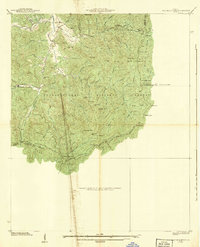 1938 Tray Mountain1938 Print · USGSThe Georgia mountains in the late Depression era show a landscape of federal forest land and early conservation efforts. You can trace the original route of the Appalachian Trail past Mountain Scene and the historic CCC Camp No F-15.3 unique versions available
 - 1953 Map of Tallulah Falls, 1954 Print
 1953 Tallulah Falls1954 Print · USGSNortheast Georgia's dramatic mountain corridor is captured here in the early fifties, centering on the town of Tallulah Falls and its famous river gorge. You can trace early infrastructure and community landmarks like the Incline Railway, Tallulah Falls Sch, and Kollock Cem.4 unique versions available
 - 1954 Map of Greenville, 1965 Print
 1954 Greenville1965 Print · USGSThe Upstate and Northeast Georgia are captured here during a decade of massive transformation as new reservoirs reshaped the Piedmont. Genealogists and hikers can trace the Appalachian Trail over Brasstown Bald or locate old community centers like Demorest, Westminster, and Royston.3 unique versions available
 - 1957 Map of Lake Burton
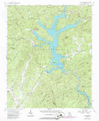 1957 Lake Burton1957 Print · USGSNorth Georgia’s mountain waters and timberlands are captured here during the late fifties as the reservoir system matured. Researchers can trace family burial sites at Burton Cem and Mt Zion Cem or locate the old Providence Sch.3 unique versions available
 - 1957 Map of Tugaloo Lake, 1958 Print
 1957 Tugaloo Lake1958 Print · USGSThe river borders of Georgia and South Carolina come alive in the 1950s as they wind through the deep mountain forests of Rabun and Oconee counties. Researchers can trace the hydroelectric developments at Tugaloo Lake or locate family landmarks like Prather Bridge and Old Liberty Ch.4 unique versions available
 - 1957 Map of Helen, 1958 Print
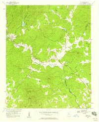 1957 Helen1958 Print · USGSThe North Georgia mountains around the Chattahoochee River appear here in the late fifties as a mix of old valley farms and new forest recreation. Genealogists can locate family landmarks like Crescent Hill Ch, Indian Mound, and Sky Lake (Girl Scout Camp).5 unique versions available
 - 1957 Map of Clarkesville NE, 1958 Print
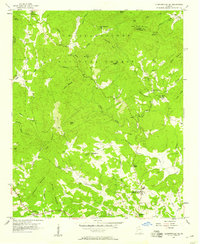 1957 Clarkesville NE1958 Print · USGSHabersham County during the late fifties remains a landscape of mountain hollows and riverside settlements within the Chattahoochee National Forest. Genealogists can trace family footprints through sites like Macedonia Sch, Alleys Chapel, and the community of Batesville.4 unique versions available
 - 1957 Map of Tray Mountain, 1960 Print
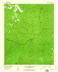 1957 Tray Mountain1960 Print · USGSThe High Blue Ridge of Georgia is captured here in the late fifties as a network of gaps and forest trails. Genealogists and hikers can trace the original path of the Appalachian Trail through Tray Mountain and locate early sites like Mountain Scene and the High Valley Boys Club.4 unique versions available
 - 1958 Map of Greenville
 1958 Greenville1958 Print · USGSThe Piedmont and Blue Ridge foothills come alive in this mid-century survey of the Upstate and Northeast Georgia. Trace the regional rail-and-river economy through the Southern Railway corridors and early reservoir developments like Lake Sidney Lanier.
 - 1964 Map of Ayersville, 1965 Print
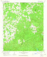 1964 Ayersville1965 Print · USGSNortheast Georgia in the mid-sixties reveals a landscape of national forest land, mountain ridges, and rail-side settlements. Genealogists and historians can trace family-named sites like Shorts Mill, Ducket Lake, and churches such as Mt Bethel Ch or Antioch Ch.3 unique versions available
 - 1964 Map of Lula, 1965 Print
 1964 Lula1965 Print · USGSThe foothills of northeast Georgia meet the expanding shoreline of Lake Sidney Lanier in the mid-1960s. Genealogists can trace rural communities through landmarks like Skitts Mtn Ch Cem, the Southern rail line, and Belton Bridge.4 unique versions available
 - 1964 Map of Leaf, 1965 Print
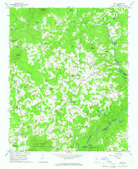 1964 Leaf1965 Print · USGSNortheast Georgia in the mid-sixties reveals a rural landscape of mountain ridges and riverside mills along the Chattahoochee River. Genealogists and historians can locate family landmarks like Blue Creek Cem, the White Creek Sch, and the old Satterfield Store.4 unique versions available
 - 1964 Map of Lake Russell, 1965 Print
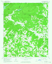 1964 Lake Russell1965 Print · USGSBanks County and the surrounding north Georgia highlands appear here in the mid-1960s as a landscape of timbered peaks and rural crossroads. Genealogists and local historians can locate family landmarks like Wofford Shoals Cem, Grady Sch, and Pinefield Crossroads.2 unique versions available
 - 1964 Map of Clarkesville, 1965 Print
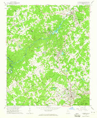 1964 Clarkesville1965 Print · USGSHabersham County during the mid-sixties reveals a landscape of growing towns and deep-rooted rural communities. Genealogists and local historians can trace family locations near Fairfield Ch, Mud Creek Sch, or the industrial Habersham Mills Lake.3 unique versions available
 - 1964 Map of Baldwin, 1965 Print
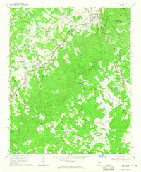 1964 Baldwin1965 Print · USGSNorth Georgia’s upland ridges and the CHATTAHOOCHEE NATIONAL FOREST are shown here as they appeared in the mid-1960s. Genealogists can trace family landmarks including Mud Creek Cemetery, the State Industrial Institute, and Liberty Hill Church.3 unique versions available
Showing maps 1-25 of 88
Top cities of Habersham County
- Cornelia historical maps
- Clarkesville historical maps
- Demorest historical maps
- Mount Airy historical maps
Frequently asked questions
- What are the different types of historical maps available for Habersham County?
- What is the oldest map of Habersham County?
- Where can I purchase historical maps of Habersham County for my home or office?
- Where can I download high-res historical maps of Habersham County?
- Are there historical topographic maps available for Habersham County?
- Is there historical aerial imagery available for Habersham County?
- Where are historical maps of Habersham County sourced from?