2000s (21st Century) Maps of Habersham County, Georgia
Explore 60 historic maps of Habersham County from the 2000s (21st Century). These maps offer a rare glimpse into what life looked like during the 2000s — showing old roads, neighborhoods, homes, and landmarks that have changed or disappeared over time.
Whether you're researching your family's past, planning a metal detecting trip, or studying how Habersham County's landscape evolved across the 2000s, these high-resolution maps are a powerful tool for exploring the history of this region.
- Focus on a specific era: All maps on this page are from the 2000s, giving you a focused view of this time period.
- See what’s changed: Compare century-old streets, trails, and buildings to today's modern landscape using overlays and satellite layers.
- Research with precision: Use these maps for genealogy, historical research, land use analysis, or educational projects.
- View, download, or print: Maps are fully viewable online in high resolution, and can be downloaded or printed for your own records.
Start exploring Habersham County's history through authentic maps from the 2000s. This is your window into the past.
Habersham County, GA maps
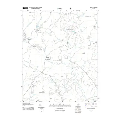
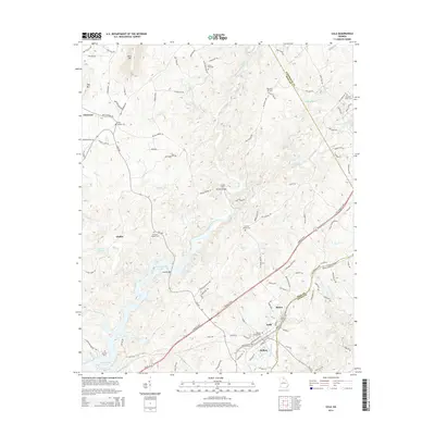
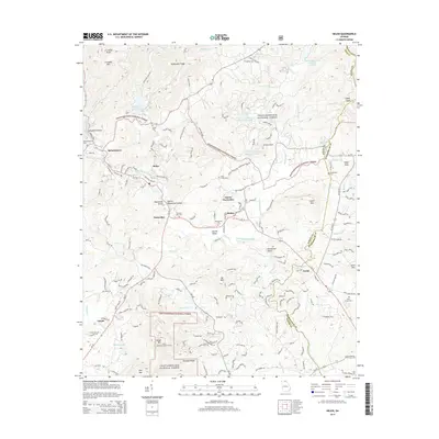
(60)- 2011 Map of Lula, 2011 Print
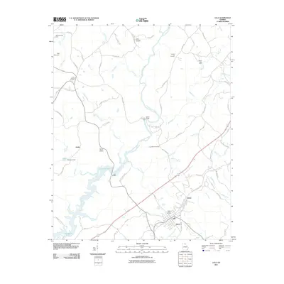 2011 Lula2011 Print · USGSCovers Habersham County, including Lula, Clermont, and other nearby areas
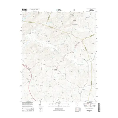
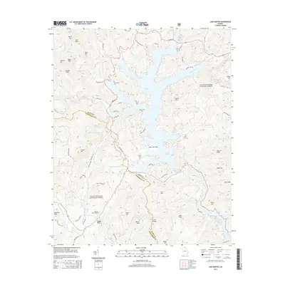
 - 2011 Map of Lake Russell, 2011 Print
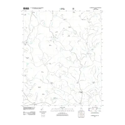
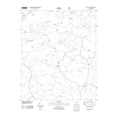 2011 Lake Russell2011 Print · USGSCovers Habersham County, including Pruitt, Pinefield Crossroads, and other nearby areas
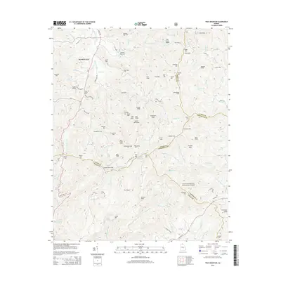
 - 2011 Map of Tray Mountain, 2011 Print
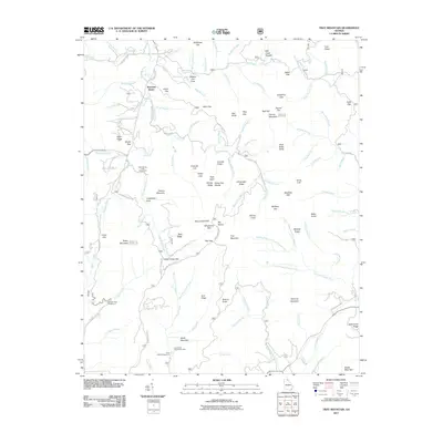 2011 Tray Mountain2011 Print · USGSCovers Habersham County, including Mountain Scene, White County, and other nearby areas
 - 2011 Map of Clarkesville, 2011 Print
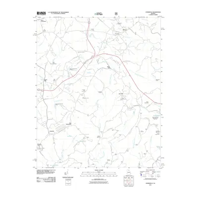
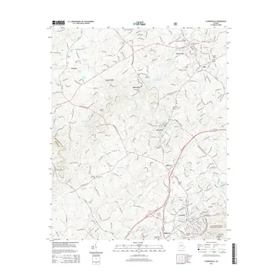
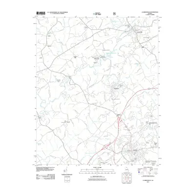 2011 Clarkesville2011 Print · USGSCovers Habersham County, including Cornelia, Baldwin, and other nearby areas
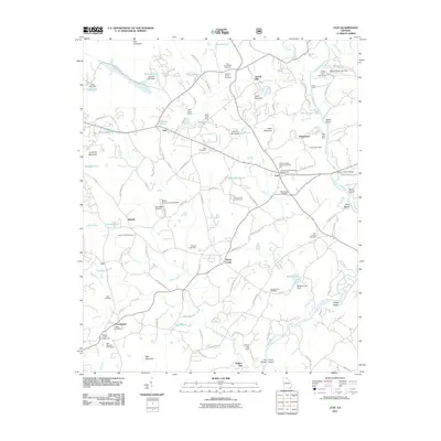
 - 2011 Map of Helen, 2011 Print
 2011 Helen2011 Print · USGSCovers Habersham County, including Helen, Sautee, and other nearby areas
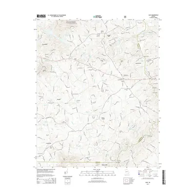
 - 2011 Map of Leaf, 2011 Print
 2011 Leaf2011 Print · USGSCovers Habersham County, including Cleveland, Leo, and other nearby areas
 - 2011 Map of Ayersville, 2011 Print
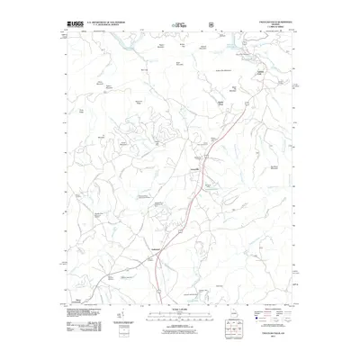
 2011 Ayersville2011 Print · USGSCovers Habersham County, including Toccoa, Mount Airy, and other nearby areas
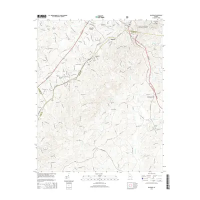
 - 2011 Map of Baldwin, 2011 Print
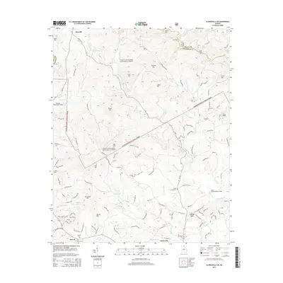
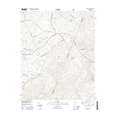
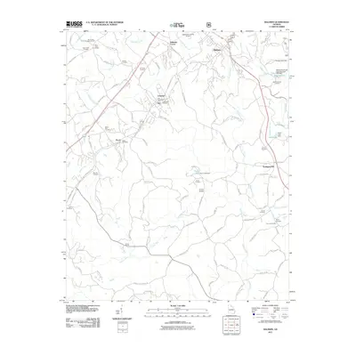 2011 Baldwin2011 Print · USGSCovers Habersham County, including Cornelia, Baldwin, and other nearby areas
 - 2011 Map of Clarkesville NE, 2011 Print
 2011 Clarkesville NE2011 Print · USGSCovers Habersham County, including Clarkesville, College Park, and other nearby areas
 - 2011 Map of Tallulah Falls, 2011 Print
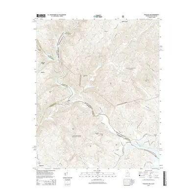
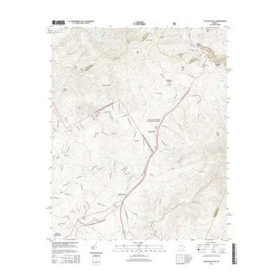
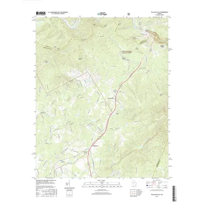
 2011 Tallulah Falls2011 Print · USGSCovers Habersham County, including Hollywood, Tallulah Falls, and other nearby areas
 - 2011 Map of Lake Burton, 2011 Print
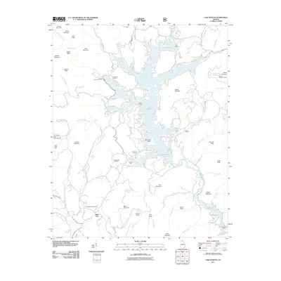 2011 Lake Burton2011 Print · USGSCovers Habersham County, including Wikle Store, Rabun County, and other nearby areas
 - 2011 Map of Tugaloo Lake, 2011 Print
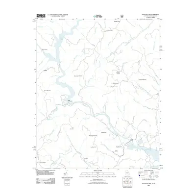 2011 Tugaloo Lake2011 Print · USGSCovers Habersham County, including Toccoa, Tallulah Falls, and other nearby areas
 - 2014 Map of Lake Russell, 2014 Print
 2014 Lake Russell2014 Print · USGSCovers Habersham County, including Pruitt, Pinefield Crossroads, and other nearby areas
 - 2014 Map of Tray Mountain, 2014 Print
 2014 Tray Mountain2014 Print · USGSCovers Habersham County, including Mountain Scene, White County, and other nearby areas
 - 2014 Map of Lula, 2014 Print
 2014 Lula2014 Print · USGSCovers Habersham County, including Lula, Clermont, and other nearby areas
 - 2014 Map of Baldwin, 2014 Print
 2014 Baldwin2014 Print · USGSCovers Habersham County, including Cornelia, Baldwin, and other nearby areas
 - 2014 Map of Helen, 2014 Print
 2014 Helen2014 Print · USGSCovers Habersham County, including Helen, Sautee, and other nearby areas
 - 2014 Map of Clarkesville NE, 2014 Print
 2014 Clarkesville NE2014 Print · USGSCovers Habersham County, including Clarkesville, College Park, and other nearby areas
 - 2014 Map of Ayersville, 2014 Print
 2014 Ayersville2014 Print · USGSCovers Habersham County, including Toccoa, Mount Airy, and other nearby areas
 - 2014 Map of Tugaloo Lake, 2014 Print
 2014 Tugaloo Lake2014 Print · USGSCovers Habersham County, including Toccoa, Tallulah Falls, and other nearby areas
 - 2014 Map of Clarkesville, 2014 Print
 2014 Clarkesville2014 Print · USGSCovers Habersham County, including Cornelia, Baldwin, and other nearby areas
 - 2014 Map of Tallulah Falls, 2014 Print
 2014 Tallulah Falls2014 Print · USGSCovers Habersham County, including Hollywood, Tallulah Falls, and other nearby areas
 - 2014 Map of Leaf, 2014 Print
 2014 Leaf2014 Print · USGSCovers Habersham County, including Cleveland, Leo, and other nearby areas
 - 2014 Map of Lake Burton, 2014 Print
 2014 Lake Burton2014 Print · USGSCovers Habersham County, including Wikle Store, Rabun County, and other nearby areas
 - 2017 Map of Tallulah Falls, 2017 Print
 2017 Tallulah Falls2017 Print · USGSCovers Habersham County, including Hollywood, Tallulah Falls, and other nearby areas
Showing maps 1-25 of 60
Top cities of Habersham County
- Cornelia historical maps
- Clarkesville historical maps
- Demorest historical maps
- Mount Airy historical maps
Frequently asked questions
- What are the different types of historical maps available for Habersham County?
- What is the oldest map of Habersham County?
- Where can I purchase historical maps of Habersham County for my home or office?
- Where can I download high-res historical maps of Habersham County?
- Are there historical topographic maps available for Habersham County?
- Is there historical aerial imagery available for Habersham County?
- Where are historical maps of Habersham County sourced from?