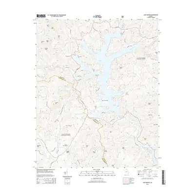
2014 Map of Lake Burton
USGS Topo · Published 2014About this map
Lake Burton and the Chattahoochee National Forest dominate this Northeast Georgia terrain, where the headwaters of the Tallulah River and Soquee River meet. The map documents a landscape of significant relief, from the heights of Muley Mtn and Glassy Mtn down to the intricate shoreline of the reservoir. Notable for local history and genealogy, several family and community burial grounds are preserved across the ridges, including Stoneyciphen Cem, Burton Cem, and Mt Zion Cem.
Find a feature on this map
90 named features on this map. Tap any name to fly to it.
Don’t see what you’re looking for? This feature index may not catch every label — zoom into the map to look around manually.
Map Details
Editions of this 2014 Lake Burton Map
This is the sole edition of this map. No revisions or reprints were ever made.
Other maps of this area

1886 · Dahlonega
USGS Topo · 1:125,000

1886 · Walhalla
USGS Topo · 1:125,000

1892 · Dahlonega
USGS Topo · 1:125,000

1892 · Walhalla
USGS Topo · 1:125,000

1896 · Walhalla
USGS Topo · 1:125,000

1896 · Dahlonega
USGS Topo · 1:125,000

1903 · Dahlonega
USGS Topo · 1:125,000

1935 · Osborn
USGS Topo · 1:24,000

1935 · Dillard
USGS Topo · 1:24,000

1935 · Hightower Bald
USGS Topo · 1:24,000