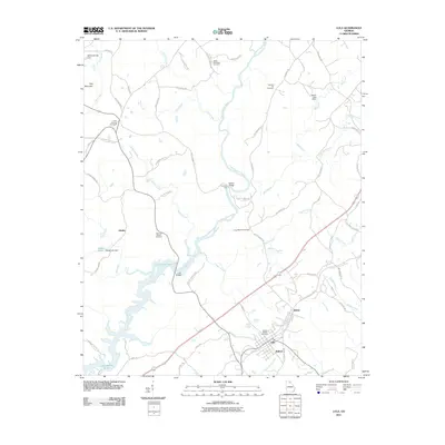
2011 Map of Lula
USGS Topo · Published 2011About this map
The Chattahoochee River carves through this Hall County landscape, feeding the expansive waters of Lake Sidney Lanier in the southwest. The geography is defined by a dense network of family-named roads and rural settlements like Lula and Belton, which sit at the junction of several key routes. Historical transit patterns are evident in features such as Crowder Ford and the Lula Bridge, reflecting the enduring importance of river crossings in the region's development.
Find a feature on this map
76 named features on this map. Tap any name to fly to it.
Don’t see what you’re looking for? This feature index may not catch every label — zoom into the map to look around manually.
Map Details
Editions of this 2011 Lula Map
This is the sole edition of this map. No revisions or reprints were ever made.
Other maps of this area

1886 · Dahlonega
USGS Topo · 1:125,000

1891 · Gainesville
USGS Topo · 1:125,000

1892 · Dahlonega
USGS Topo · 1:125,000

1896 · Dahlonega
USGS Topo · 1:125,000

1903 · Dahlonega
USGS Topo · 1:125,000

1951 · Cleveland
USGS Topo · 1:24,000

1954 · Greenville
USGS Topo · 1:250,000

1958 · Greenville
USGS Topo · 1:250,000

1964 · Maysville
USGS Topo · 1:24,000

1964 · Lula
USGS Topo · 1:24,000