
1964 Map of Lula
USGS Topo · Published 1965About this map
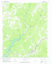
The Chattahoochee River carves a deep path through the northeast Georgia landscape, meeting the rising waters of Lake Sidney Lanier in this mid-1960s snapshot. The town of Lula serves as a local hub at the intersection of the Southern railroad line and roads leading into the hills of Hall and Habersham counties. This period shows the transition of the river valley into a reservoir system, with Lula Bridge and Belton Bridge providing essential crossings over the evolving waterway.
Find a feature on this map
37 named features on this map. Tap any name to fly to it.
Don’t see what you’re looking for? This feature index may not catch every label — zoom into the map to look around manually.
Map Details
Editions of this 1964 Lula Map
4 editions found
Other maps of this area

1886 · Dahlonega
USGS Topo · 1:125,000

1891 · Gainesville
USGS Topo · 1:125,000

1892 · Dahlonega
USGS Topo · 1:125,000

1896 · Dahlonega
USGS Topo · 1:125,000

1903 · Dahlonega
USGS Topo · 1:125,000

1951 · Cleveland
USGS Topo · 1:24,000

1954 · Greenville
USGS Topo · 1:250,000

1958 · Greenville
USGS Topo · 1:250,000

1964 · Maysville
USGS Topo · 1:24,000

1964 · Gainesville
USGS Topo · 1:24,000