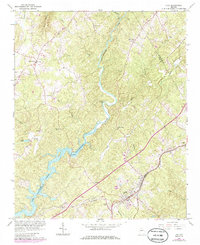
1964 Map of Lula
USGS Topo · Published 1986About this map
The Chattahoochee River cuts a deep, winding path through this North Georgia landscape, marked by the rising waters of Lake Sidney Lanier in the southwest. The town of Lula serves as a primary hub, situated where the Southern railroad corridor transitions toward the hills of Habersham and Banks counties. This mid-century survey captures a rural network of small communities and family-named landmarks, such as Pitts and Glades, connected by winding roads like Mud Creek Road. Significant local centers of worship and community are well-documented, including Skitts Mtn Ch near Skitt Mountain and Pleasant Grove Ch in the east. The map preserves the location of river crossings such as Belton Bridge and Lula Bridge, reflecting the essential transport geography before later developments altered the local character.
Find a feature on this map
35 named features on this map. Tap any name to fly to it.
Don’t see what you’re looking for? This feature index may not catch every label — zoom into the map to look around manually.
Map Details
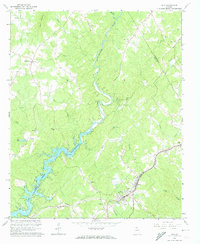
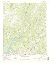
Editions of this 1964 Lula Map
4 editions found
Other maps of this area

1886 · Dahlonega
USGS Topo · 1:125,000

1891 · Gainesville
USGS Topo · 1:125,000

1892 · Dahlonega
USGS Topo · 1:125,000

1896 · Dahlonega
USGS Topo · 1:125,000

1903 · Dahlonega
USGS Topo · 1:125,000

1951 · Cleveland
USGS Topo · 1:24,000

1954 · Greenville
USGS Topo · 1:250,000

1958 · Greenville
USGS Topo · 1:250,000

1964 · Maysville
USGS Topo · 1:24,000

1964 · Lula
USGS Topo · 1:24,000