Old Maps of Felton, Georgia for Metal Detecting
Plan your next treasure hunt with 14 historic maps of Felton. Find old homesites, ghost towns, trails, and gathering spots that may be lost to time — perfect for identifying promising metal detecting locations.
- Locate forgotten sites: Uncover places like long-lost settlements, abandoned rail lines, or gathering spots.
- Plan better hunts: Use map overlays combined with LiDAR or satellite views to narrow in on historically rich areas.
- Made for detectorists: Thousands of hobbyists use these maps to discover relics, coins, and hidden history.
Use these historic maps to boost your research and find new opportunities beneath the surface of Felton.
Felton, GA maps
(14)- 1889 Map of Tallapoosa
 1889 Tallapoosa1889 Print · USGSAcross the Georgia and Alabama border in the late nineteenth century, iron furnaces and river mills powered the local economy. Genealogists can trace family homesteads near landmarks like Tecumseh Furnace, Pine Wood Church, and Allgood's Mill.
 - 1892 Map of Tallapoosa
 1892 Tallapoosa1892 Print · USGSThe Georgia-Alabama borderlands at the end of the nineteenth century reveal a landscape of early industry and river-powered mills. Genealogists and historians can trace family-named landmarks like Allgood Mill, Rainwater Ford, and the Tecumseh Furnace ruins.
 - 1897 Map of Tallapoosa
 1897 Tallapoosa1897 Print · USGSThe Georgia and Alabama borderlands are captured here in the late nineteenth century as the railroad and milling industries reshaped the landscape. Researchers can trace family-named sites like Munroe Mill, early crossings at Rainwater Ford, and old depots at Rockrun Station.4 unique versions available
 - 1953 Map of Atlanta, 1965 Print
 1953 Atlanta1965 Print · USGSThe growing Atlanta metro and the industrial corridors of Eastern Alabama are captured here during the mid-century transition. Researchers can trace the rail-to-road shift through hubs like Anniston and La Grange or locate sites within Fort McClellan.2 unique versions available
 - 1957 Map of Atlanta
 1957 Atlanta1957 Print · USGSAtlanta and the Alabama borderlands appear here in the mid-fifties, capturing the region's post-war suburban and industrial transition. Trace the development of early transport hubs and military sites like Fort McPherson, Anniston, and the Kennesaw Mountain National Battlefield Park.
 - 1958 Map of Atlanta
 1958 Atlanta1958 Print · USGSMid-century Georgia and Alabama are shown in this regional study of the corridor between the Chattahoochee River and the Appalachian foothills. Local historians can trace the development of suburban Atlanta alongside vital landmarks like Stone Mountain, Dobbins AFB, and the Seaboard Air Line rail routes.
 - 1958 Map of Buchanan, 1960 Print
 1958 Buchanan1960 Print · USGSHaralson and Polk Counties are shown in the late fifties as a landscape of ridge-top churches and valley railroads. Genealogists can trace family footprints at Lees Chapel, Abernathys Mill, and along the Central of Georgia Railroad.2 unique versions available
 - 1973 Map of Felton, 1975 Print
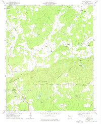 1973 Felton1975 Print · USGSThe rural border of Polk and Haralson Counties is documented here in the early 1970s, showing a landscape of ridgelines and mountain valleys. Researchers can trace families and communities through landmarks like Felton, Hightower Falls, and old country churches such as Bethlehem Ch and Youngs Grove Ch.2 unique versions available
 - 1981 Map of Anniston, 1982 Print
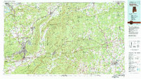 1981 Anniston1982 Print · USGSNortheast Alabama and the Georgia borderlands come alive in the early eighties, showing a landscape of heavy industry, military outposts, and mountain forests. Genealogists and historians can trace the development of towns like Anniston and Carrollton, or locate landmarks such as Whitesides Mill and Webster Chapel.2 unique versions available
 - 2011 Map of Felton, 2011 Print
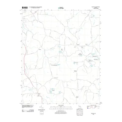 2011 Felton2011 Print · USGSNorthwest Georgia's rural character is captured here in the early twenty-first century, showing the small communities and complex watersheds of Polk County. Researchers can locate family landmarks like Felton Cemetery, the Felton Post Office, and Saint Johns Cemetery.
 - 2014 Map of Felton, 2014 Print
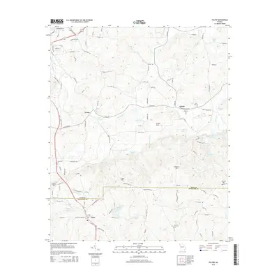 2014 Felton2014 Print · USGSThe Polk and Haralson county line intersects this rural Georgia landscape during the early 2010s. Genealogists and local historians can locate several family and community landmarks, including the Mt Zion E Church Cem, Saint Johns Cem, and the settlement of Antioch.
 - 2017 Map of Felton, 2017 Print
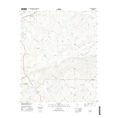 2017 Felton2017 Print · USGSThe Morgan Valley region of northwest Georgia comes into focus here, showing the rural communities of Antioch and Felton at the Haralson and Polk county line. Researchers can locate family landmarks such as Saint Johns Cem or trace the waters of Euharlee Cr and Hightower Falls.
 - 2020 Map of Felton, 2020 Print
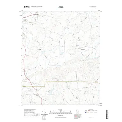 2020 Felton2020 Print · USGSThe hill country south of Cedartown is captured here in the early twenty-first century as it crosses the Polk and Haralson county line. Researchers can trace rural lineages through the Mount Zion East Church Cem, the community of Youngs, and landmarks like Dugdown Mtn.
 - 2024 Map of Felton, 2024 Print
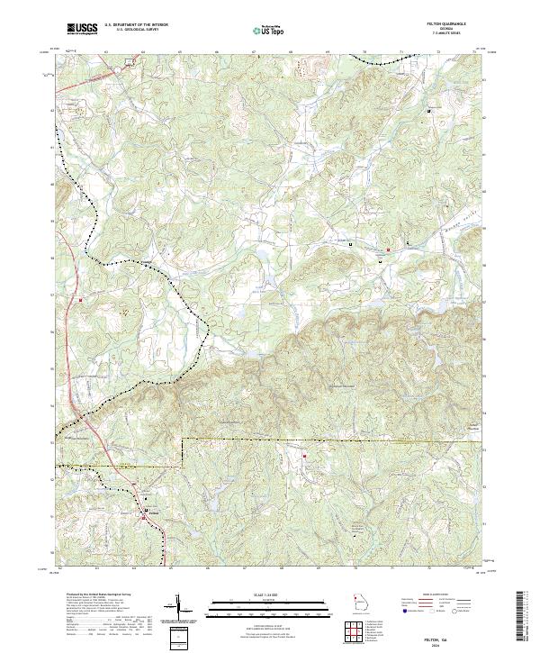 2024 Felton2024 Print · USGSHaralson and Polk counties come into focus in this contemporary survey of the Georgia ridgeline. Researchers can trace rural lineages through the Felton Cem and Mount Zion East Baptist Church Cem or locate Hightower Falls along Euharlee Creek.
End of results
Showing maps 1-14 of 14
Top cities near Felton
- Cedartown historical maps
- Bremen historical maps
- Rockmart historical maps
- Tallapoosa historical maps
- Mount Zion historical maps
- Cave Spring historical maps
See more
Frequently asked questions
- What are the different types of historical maps available for Felton?
- What is the oldest map of Felton?
- Where can I purchase historical maps of Felton for my home or office?
- Where can I download high-res historical maps of Felton?
- Are there historical topographic maps available for Felton?
- Is there historical aerial imagery available for Felton?
- Where are historical maps of Felton sourced from?