Old Maps of Hamilton, Georgia for Academic Research
Study the evolution of Hamilton with 33 high-resolution historic maps. Whether you're teaching, researching, or modeling changes in land use, these maps provide essential visual documentation of urban, environmental, and geographic change.
- Analyze long-term change: Track patterns in development, transportation, and natural features.
- Ideal for environmental or urban studies: Support academic projects with primary historical map data.
- Use in the classroom or lab: Educators and researchers rely on these maps to bring historical context to life.
These maps are a powerful tool for teaching, research, and visualizing how Hamilton has changed over the decades.
Hamilton, GA maps
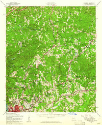
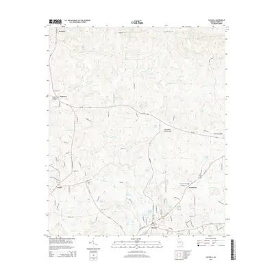
(33)- 1907 Map of Talbotton
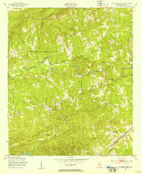
 1907 Talbotton1907 Print · USGSWest-central Georgia at the turn of the century is a landscape of ridges and rail-lines, dominated by the thermal waters of Warm Springs. Local historians can trace the foundations of Talbotton and rural life at Turntime Crossroads, Cataula Camp Ground, and Greens Mill.3 unique versions available
 - 1950 Map of Mulberry Grove, 1953 Print
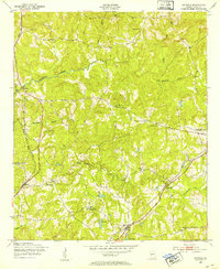
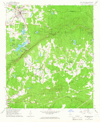
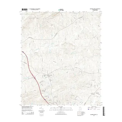
 1950 Mulberry Grove1953 Print · USGSHarris County at the mid-century shows a landscape of rural churches and creek-side industry before modern development changed the character of the Georgia countryside. Genealogists and historians can trace local landmarks like Hudson Mill, Bingham Chapel, and the settlement at Mulberry Grove.
 - 1950 Map of Cataula, 1953 Print
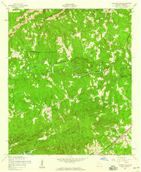
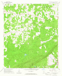
 1950 Cataula1953 Print · USGSIn the early fifties, the Harris County landscape was a network of rail-side villages and rural crossroads centers. Genealogists and historians can trace family-named landmarks like Clowers Sch and Turntime Crossroads or follow the path of the Southern railroad.
 - 1950 Map of Ellerslie, 1955 Print
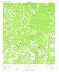
 1950 Ellerslie1955 Print · USGSThe Muscogee and Harris County borderlands appear here in the mid-twentieth century as the city of Columbus begins its northward expansion. Researchers can trace the rural roots of the region through landmarks like Turntime Crossroads, Double Churches, and the Columbus Speedway Racetrack.
 - 1955 Map of Mulberry Grove, 1959 Print
 1955 Mulberry Grove1959 Print · USGSHarris County, Georgia, is captured here in the mid-1950s as a landscape of small rural settlements and creekside landmarks. Researchers can trace family history through sites like Binghams Chapel and Richardson Cem or follow the path of the Central of Georgia railroad near Rehobeth.4 unique versions available
 - 1955 Map of Cataula, 1959 Print
 1955 Cataula1959 Print · USGSMid-century Harris County is captured here during a period of rural stability and local expansion. Genealogists and researchers can trace the locations of family landmarks and community centers like Clowers Cem, Cataula Sch, and Turntime Crossroads.3 unique versions available
 - 1955 Map of Ellerslie, 1961 Print
 1955 Ellerslie1961 Print · USGSMid-century Harris and Muscogee counties were defined by rural crossroads and the northward expansion of Columbus. Genealogists and researchers can trace family landmarks like Turntime Crossroads, Pierce Chapel, and the Good Samaritan Home for Aged.
 - 1955 Map of Phenix City, 1964 Print
 1955 Phenix City1964 Print · USGSPost-war Alabama and Georgia meet along the Chattahoochee River as industry and military installations expand. Trace the rail lines of the Central of Georgia through towns like Opelika, Tuskegee, and Alexander City.3 unique versions available
 - 1957 Map of Phenix City
 1957 Phenix City1957 Print · USGSThe Alabama-Georgia borderlands are captured here in the mid-fifties, centered on the bustling river crossing at Phenix City and Columbus. Researchers can trace the mid-century footprint of the Fort Benning Military Reservation or locate smaller textile and railroad towns like Langdale and Camp Hill.
 - 1958 Map of Phenix City
 1958 Phenix City1958 Print · USGSThe Alabama-Georgia borderlands thrive during the late fifties, anchored by the river-driven industry of Columbus and Phenix City. Researchers can trace the mid-century footprints of Fort Benning, Auburn, and the textile towns of Fairfax and Lanett.
 - 1964 Map of Pine Mountain, 1966 Print
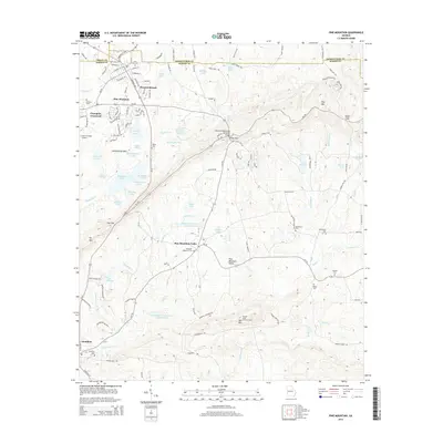
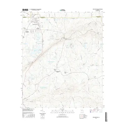
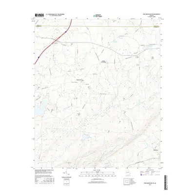
 1964 Pine Mountain1966 Print · USGSHarris County and the ridges of the Pine Mountain range were transitioning into a major recreational corridor in the mid-sixties. Genealogists and local historians can trace the foundations of Pine Mountain Valley, locate the Whitehead Cemetery, and explore the early layout of Callaway Gardens.
 - 1964 Map of Pine Mountain SW, 1966 Print
 1964 Pine Mountain SW1966 Print · USGSHarris County in the mid-sixties reveals a landscape of ridge-top lookouts and deep-seated rural traditions as the timber and rail economy thrived. Researchers can trace family sites at Old Hopewell Cem, visit Smiths Crossroads, or locate the historic Carver High Sch.2 unique versions available
 - 1981 Map of Thomaston, 1982 Print
 1981 Thomaston1982 Print · USGSCentral Georgia’s ridgeline and river country comes into focus in this early 1980s survey of the Pine Mountain corridor. Researchers can trace historic church sites like Oak Grove Ch, the rail junctions at Manchester, and the expansive Franklin D Roosevelt State Park.
 - 2011 Map of Cataula, 2011 Print
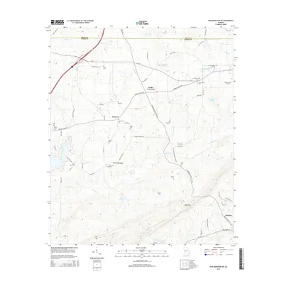
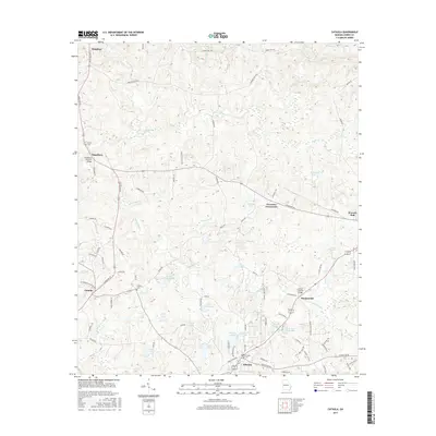
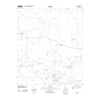 2011 Cataula2011 Print · USGSCovers Hamilton, including Waverly Hall, Kingsboro, and other nearby areas
 - 2011 Map of Pine Mountain, 2011 Print
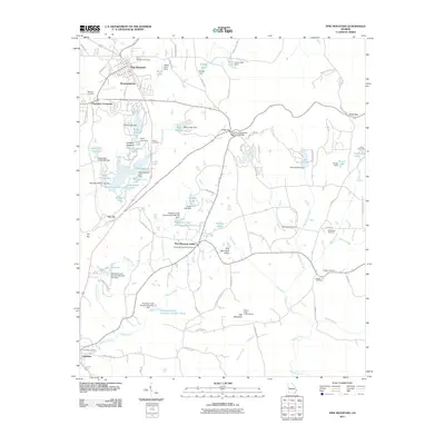 2011 Pine Mountain2011 Print · USGSCovers Hamilton, including Pine Mountain, Pine Mountain Valley, and other nearby areas
 - 2011 Map of Pine Mountain SW, 2011 Print
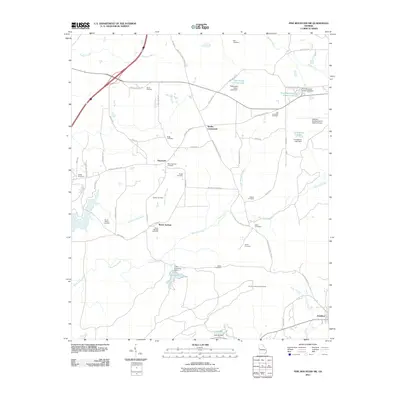 2011 Pine Mountain SW2011 Print · USGSCovers Hamilton, including Hopewell, Beech Springs, and other nearby areas
 - 2011 Map of Mulberry Grove, 2011 Print
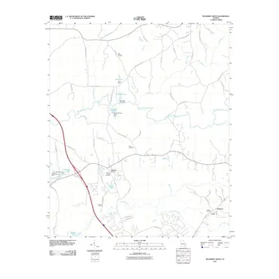 2011 Mulberry Grove2011 Print · USGSCovers Hamilton, including Mulberry Grove, Rehobeth, and other nearby areas
 - 2014 Map of Pine Mountain SW, 2014 Print
 2014 Pine Mountain SW2014 Print · USGSCovers Hamilton, including Hopewell, Beech Springs, and other nearby areas
 - 2014 Map of Cataula, 2014 Print
 2014 Cataula2014 Print · USGSCovers Hamilton, including Waverly Hall, Kingsboro, and other nearby areas
 - 2014 Map of Mulberry Grove, 2014 Print
 2014 Mulberry Grove2014 Print · USGSCovers Hamilton, including Mulberry Grove, Rehobeth, and other nearby areas
 - 2014 Map of Pine Mountain, 2014 Print
 2014 Pine Mountain2014 Print · USGSCovers Hamilton, including Pine Mountain, Pine Mountain Valley, and other nearby areas
 - 2017 Map of Pine Mountain, 2017 Print
 2017 Pine Mountain2017 Print · USGSCovers Hamilton, including Pine Mountain, Pine Mountain Valley, and other nearby areas
 - 2017 Map of Mulberry Grove, 2017 Print
 2017 Mulberry Grove2017 Print · USGSCovers Hamilton, including Mulberry Grove, Rehobeth, and other nearby areas
 - 2017 Map of Cataula, 2017 Print
 2017 Cataula2017 Print · USGSCovers Hamilton, including Waverly Hall, Kingsboro, and other nearby areas
 - 2017 Map of Pine Mountain SW, 2017 Print
 2017 Pine Mountain SW2017 Print · USGSCovers Hamilton, including Hopewell, Beech Springs, and other nearby areas
Showing maps 1-25 of 33
Top cities near Hamilton
- Columbus historical maps
- LaGrange historical maps
- Manchester historical maps
- Pine Mountain historical maps
- Waverly Hall historical maps
- Shiloh historical maps
See more
Frequently asked questions
- What are the different types of historical maps available for Hamilton?
- What is the oldest map of Hamilton?
- Where can I purchase historical maps of Hamilton for my home or office?
- Where can I download high-res historical maps of Hamilton?
- Are there historical topographic maps available for Hamilton?
- Is there historical aerial imagery available for Hamilton?
- Where are historical maps of Hamilton sourced from?