Old Maps of Hart County, Georgia for Metal Detecting
Plan your next treasure hunt with 57 historic maps of Hart County. Find old homesites, ghost towns, trails, and gathering spots that may be lost to time — perfect for identifying promising metal detecting locations.
- Locate forgotten sites: Uncover places like long-lost settlements, abandoned rail lines, or gathering spots.
- Plan better hunts: Use map overlays combined with LiDAR or satellite views to narrow in on historically rich areas.
- Made for detectorists: Thousands of hobbyists use these maps to discover relics, coins, and hidden history.
Use these historic maps to boost your research and find new opportunities beneath the surface of Hart County.
Hart County, GA maps
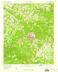
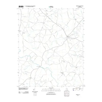
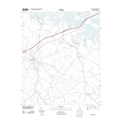
(57)- 1891 Map of Carnesville
 1891 Carnesville1891 Print · USGSNortheast Georgia in the late nineteenth century is documented here as a landscape of small river settlements and emerging rail towns. Genealogists can trace family roots through locations like Jewellville, Fort Lamar, and the river crossing at Braggs Fy.6 unique versions available
 - 1893 Map of Elberton
 1893 Elberton1893 Print · USGSThe Georgia-South Carolina borderlands come alive in the 1890s, centering on the river-and-rail economy of the Savannah Valley. Genealogists can trace family names and early community hubs through Browns Ferry, Coldwater Church, and Ruckersville.5 unique versions available
 - 1954 Map of Greenville, 1965 Print
 1954 Greenville1965 Print · USGSThe Upstate and Northeast Georgia are captured here during a decade of massive transformation as new reservoirs reshaped the Piedmont. Genealogists and hikers can trace the Appalachian Trail over Brasstown Bald or locate old community centers like Demorest, Westminster, and Royston.3 unique versions available
 - 1958 Map of Greenville
 1958 Greenville1958 Print · USGSThe Piedmont and Blue Ridge foothills come alive in this mid-century survey of the Upstate and Northeast Georgia. Trace the regional rail-and-river economy through the Southern Railway corridors and early reservoir developments like Lake Sidney Lanier.
 - 1958 Map of Danielsville, 1959 Print
 1958 Danielsville1959 Print · USGSNortheast Georgia at the end of the fifties reveals a landscape defined by the Broad River and a dense network of rural parish life. Genealogists can trace family roots through numerous local landmarks like Harrison Sch, Masons Mill, and Vanna Chapel.
 - 1958 Map of Elberton, 1959 Print
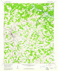
 1958 Elberton1959 Print · USGSElbert County during the late fifties shows a landscape of deep-rooted rural communities and a thriving granite industry. Genealogists and local historians can locate dozens of country churches and schools like Liberty Ch and Downers Grove Sch, or trace the tracks of the Southern Railway.2 unique versions available
 - 1959 Map of Hartwell Dam, 1961 Print
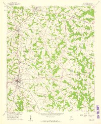
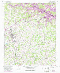
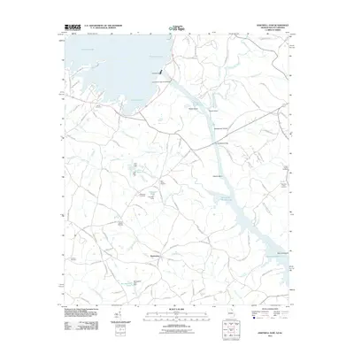
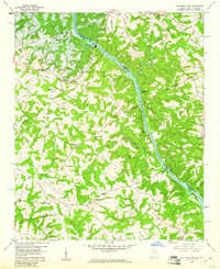 1959 Hartwell Dam1961 Print · USGSThe Savannah River borderlands are captured here during the late fifties as the new Hartwell Dam began to reshape the valley. Genealogists can locate numerous country churches like Cokesbury Ch and Sardis Ch, or trace the old roads around Montevideo.4 unique versions available
 - 1959 Map of Lavonia, 1961 Print
 1959 Lavonia1961 Print · USGSNortheast Georgia stands at the edge of a major geographic shift in the late fifties as the Tugaloo River valley prepares for inundation. Researchers can trace the original rail lines of the Southern Railway and locate local landmarks like Parkertown Mill and Willis Chapel before the waters of Hartwell Reservoir rose.2 unique versions available
 - 1959 Map of Hartwell NE, 1961 Print
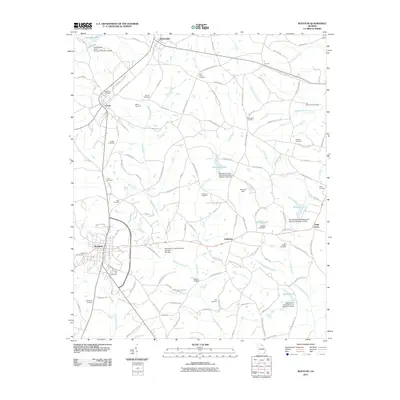
 1959 Hartwell NE1961 Print · USGSIn the late fifties, the rising Hartwell Reservoir began to reshape the borderlands of Anderson County. Genealogists and historians can trace the rural landscape of Andersonville and Holland Store, or locate legacy sites like Evergreen Ch and New Hope Ch before they were altered by the new shoreline.4 unique versions available
 - 1959 Map of Royston, 1961 Print
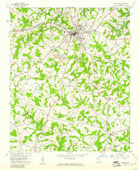
 1959 Royston1961 Print · USGSNortheast Georgia in the late fifties is captured here at the meeting point of three counties during a time of steady rural growth. Researchers can trace family roots through numerous local landmarks, from Rose Hill Cem and Redwine Ch to the crossroads at Goldmine.2 unique versions available
 - 1959 Map of Hartwell, 1961 Print
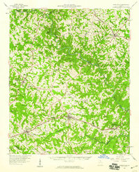
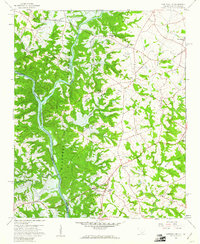
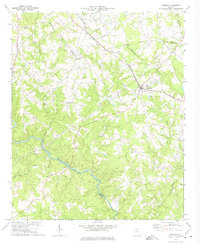
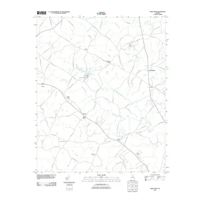
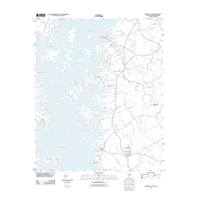
 1959 Hartwell1961 Print · USGSHart County was undergoing a significant transformation in the late fifties as the new reservoir began to fill the northern valleys. Genealogists and local historians can trace the foundations of this community through landmarks like Nancy Hart Sch, the Hartwell Railway, and numerous country churches including Bio Ch.2 unique versions available
 - 1960 Map of Reed Creek, 1963 Print
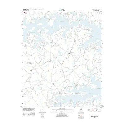
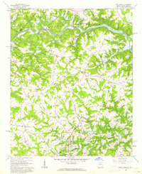 1960 Reed Creek1963 Print · USGSThe Georgia and South Carolina border is caught in a moment of transition during the 1960s as the Hartwell Reservoir fills the valley. Researchers can trace old family landmarks and rural congregations like Sharon Ch, Cleveland Cem, and the community of Maretts.3 unique versions available
 - 1972 Map of Bowman, 1974 Print
 1972 Bowman1974 Print · USGSElbert and Madison counties meet along the Broad River during the early seventies, a landscape of rural communities and railroad stops. Genealogists can trace family footprints at Vanna, Harrison, and numerous local sites like Oak Grove Ch and Holly Springs Ch.
 - 1973 Map of Dewy Rose, 1975 Print
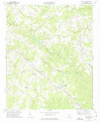 1973 Dewy Rose1975 Print · USGSElbert and Hart County rural life in the 1970s is centered on the Southern railroad line and a network of historic country churches. Genealogists and local historians can trace family locations near Dewy Rose, Hard Cash, and Stinchcomb Ch.
 - 1979 Map of Abbeville, 1980 Print
 1979 Abbeville1980 Print · USGSThe South Carolina and Georgia borderlands are captured here during a period of significant hydroelectric development and regional growth. Researchers can trace the rail-and-river economy through the Seaboard Coast Line and landmarks like Hartwell Dam or the Silk Mills.2 unique versions available
 - 1979 Map of Commerce, 1980 Print
 1979 Commerce1980 Print · USGSThe Georgia and South Carolina Piedmont reached a period of significant regional growth in the late seventies. Genealogists and historians can trace family roots through locations like Blackberry Church, Old Pioneer Cem, and the Gillsville Sch.2 unique versions available
 - 1985 Map of Lavonia, 1986 Print
 1985 Lavonia1986 Print · USGSLavonia and the Georgia-South Carolina border are captured here in the mid-1980s as the rail-line economy met the rising waters of the Tugaloo. Researchers can trace family history through sites like Parkertown Mill, Pleasant Grove Cem, and Bowersville.
 - 2011 Map of Hartwell, 2011 Print
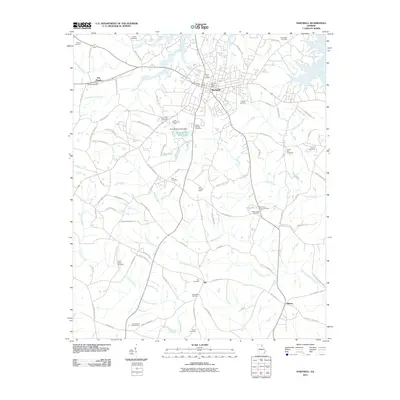 2011 Hartwell2011 Print · USGSCovers Hart County, including Hartwell, Bio, and other nearby areas
 - 2011 Map of Dewy Rose, 2011 Print
 2011 Dewy Rose2011 Print · USGSCovers Hart County, including Elberton, Dewy Rose, and other nearby areas
 - 2011 Map of Bowman, 2011 Print
 2011 Bowman2011 Print · USGSCovers Hart County, including Bowman, Reeds, and other nearby areas
 - 2011 Map of Royston, 2011 Print
 2011 Royston2011 Print · USGSCovers Hart County, including Royston, Bowersville, and other nearby areas
 - 2011 Map of Hartwell Dam, 2011 Print
 2011 Hartwell Dam2011 Print · USGSCovers Hart County, including Montevideo, Anderson County, and other nearby areas
 - 2011 Map of Hartwell NE, 2011 Print
 2011 Hartwell NE2011 Print · USGSCovers Hart County, including Allendale, Lakefront, and other nearby areas
 - 2011 Map of Lavonia, 2011 Print
 2011 Lavonia2011 Print · USGSCovers Hart County, including Lavonia, Bowersville, and other nearby areas
 - 2011 Map of Reed Creek, 2011 Print
 2011 Reed Creek2011 Print · USGSCovers Hart County, including Hartwell, Mount Olivet, and other nearby areas
Showing maps 1-25 of 57
Top cities of Hart County
Frequently asked questions
- What are the different types of historical maps available for Hart County?
- What is the oldest map of Hart County?
- Where can I purchase historical maps of Hart County for my home or office?
- Where can I download high-res historical maps of Hart County?
- Are there historical topographic maps available for Hart County?
- Is there historical aerial imagery available for Hart County?
- Where are historical maps of Hart County sourced from?