2020s Maps of Stockbridge, Georgia
Explore 6 historic maps of Stockbridge from the 2020s. These maps offer a rare glimpse into what life looked like during the 2020s — showing old roads, neighborhoods, homes, and landmarks that have changed or disappeared over time.
Whether you're researching your family's past, planning a metal detecting trip, or studying how Stockbridge's landscape evolved across the 2020s, these high-resolution maps are a powerful tool for exploring the history of this region.
- Focus on a specific era: All maps on this page are from the 2020s, giving you a focused view of this time period.
- See what’s changed: Compare century-old streets, trails, and buildings to today's modern landscape using overlays and satellite layers.
- Research with precision: Use these maps for genealogy, historical research, land use analysis, or educational projects.
- View, download, or print: Maps are fully viewable online in high resolution, and can be downloaded or printed for your own records.
Start exploring Stockbridge's history through authentic maps from the 2020s. This is your window into the past.
Stockbridge, GA maps
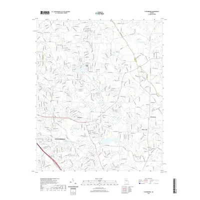
(6)- 2020 Map of McDonough, 2020 Print
 2020 McDonough2020 Print · USGSCovers Stockbridge, including McDonough, Locust Grove, and other nearby areas
 - 2020 Map of Stockbridge, 2020 Print
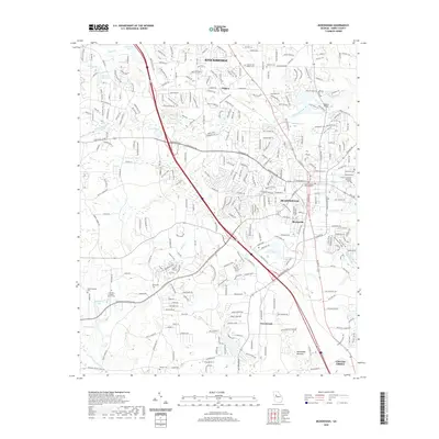
 2020 Stockbridge2020 Print · USGSCovers Stockbridge, including Whitehouse, Richardson, and other nearby areas
 - 2020 Map of Jonesboro, 2020 Print
 2020 Jonesboro2020 Print · USGSCovers Stockbridge, including Forest Park, Morrow, and other nearby areas
 - 2024 Map of McDonough, 2024 Print
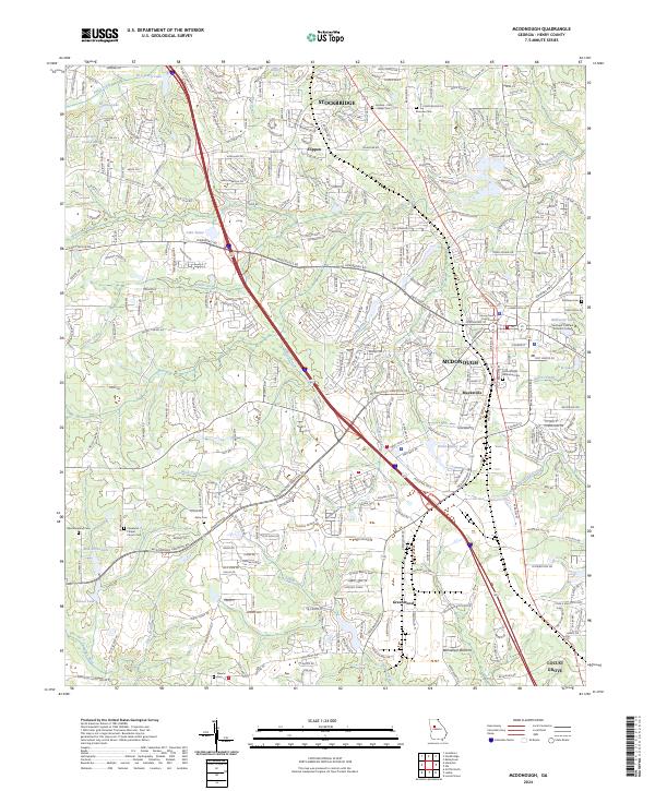 2024 McDonough2024 Print · USGSModern-day Henry County comes into focus in this recent survey of the corridor between Stockbridge and Locust Grove. Researchers can locate historic burial grounds like Akins Cem and landmark institutions such as the Henry County Courthouse.
 - 2024 Map of Stockbridge, 2024 Print
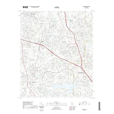
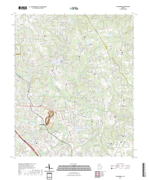 2024 Stockbridge2024 Print · USGSStockbridge and northern Henry County appear here in their modern suburban form while retaining deep ties to their rural ancestry. Researchers can trace dozens of family landmarks and burial sites, from the Methodist Church Cem to Millers Mill and Askew Lakes.
 - 2024 Map of Jonesboro, 2024 Print
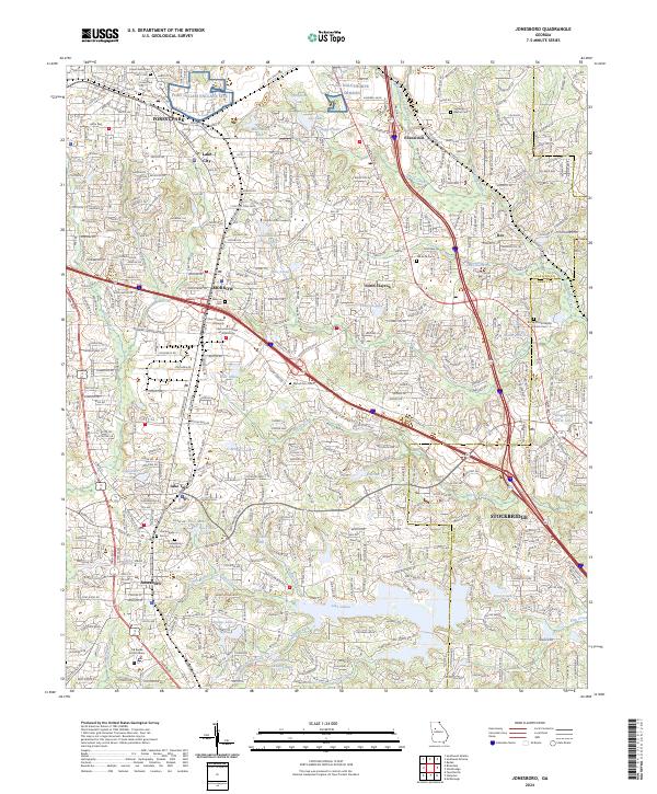 2024 Jonesboro2024 Print · USGSThe northern reaches of Clayton County are revealed in the twenty-first century as a bustling suburban landscape along the Norfolk Southern corridor. Researchers can trace local history through sites like the Confederate Cem, Mount Zion Cem, and the NG Oglethorpe Armory.
End of results
Showing maps 1-6 of 6
Top cities near Stockbridge
- Atlanta historical maps
- Stonecrest historical maps
- East Point historical maps
- McDonough historical maps
- Decatur historical maps
- Candler-McAfee historical maps
See more
Top neighborhoods of Stockbridge
- Parkwood historical maps
- Ridgecrest historical maps
- Stockbridge North historical maps
- Red Oak historical maps
- Duval historical maps
- Fairlane historical maps
See more
Frequently asked questions
- What are the different types of historical maps available for Stockbridge?
- What is the oldest map of Stockbridge?
- Where can I purchase historical maps of Stockbridge for my home or office?
- Where can I download high-res historical maps of Stockbridge?
- Are there historical topographic maps available for Stockbridge?
- Is there historical aerial imagery available for Stockbridge?
- Where are historical maps of Stockbridge sourced from?