Old Maps of Stockbridge, Georgia for Genealogy
Trace your family roots with 28 historic maps of Stockbridge. These high-res maps reveal old neighborhoods, homesites, landmarks, and streets — helping you uncover where your ancestors lived and how the area evolved over time.
- Explore historic neighborhoods: Identify where your relatives may have lived in the 1800s or 1900s.
- Compare maps over time: Trace the changes in streets, buildings, and landmarks for multi-generational research.
- Perfect for genealogy & ancestry research: Used by family historians and researchers to map out lineage and migration.
These maps are an incredible resource for exploring your personal connection to Stockbridge's past.
Stockbridge, GA maps
(28)- 1888 Map of Atlanta, 1955 Print
 1888 Atlanta1955 Print · USGSAtlanta and its surrounding counties emerge as a booming rail hub in the years following the Civil War. Trace early settlements and infrastructure like Jett Ferry, Oakley Mill, and the massive granite profile of Stone Mountain before the era of modern sprawl.
 - 1890 Map of Atlanta
 1890 Atlanta1890 Print · USGSGeorgia's rail and river networks converge in the late nineteenth century as the capital city expands. Genealogists can trace family homesteads near Jetts Store, Howells Mills, and the various river crossings like Paces Ferry.
 - 1892 Map of Atlanta
 1892 Atlanta1892 Print · USGSAtlanta and its surrounding counties appear at a pivotal moment of post-war growth as the region's rail network reached maturity. Genealogists and historians can trace the foundations of modern DeKalb and Fulton counties through landmarks like Stone Mountain, Roswell Junction, and Paces Ferry.
 - 1895 Map of Atlanta
 1895 Atlanta1895 Print · USGSThe growing railroad hub of Atlanta is shown here in the late nineteenth century alongside its surrounding river ferries and emerging suburbs. Trace old family names and sites like Howell Mills, Vining Station, and Ft. McPherson.7 unique versions available
 - 1953 Map of Atlanta, 1965 Print
 1953 Atlanta1965 Print · USGSThe growing Atlanta metro and the industrial corridors of Eastern Alabama are captured here during the mid-century transition. Researchers can trace the rail-to-road shift through hubs like Anniston and La Grange or locate sites within Fort McClellan.2 unique versions available
 - 1954 Map of Jonesboro, 1956 Print
 1954 Jonesboro1956 Print · USGSClayton County in the mid-fifties shows a landscape of growing towns and significant military infrastructure along the Central of Georgia rail line. Researchers can locate early schools and rural landmarks like North Jonesboro Sch, the Boy Scout Camp, and Sylvester Ch.5 unique versions available
 - 1957 Map of Atlanta
 1957 Atlanta1957 Print · USGSAtlanta and the Alabama borderlands appear here in the mid-fifties, capturing the region's post-war suburban and industrial transition. Trace the development of early transport hubs and military sites like Fort McPherson, Anniston, and the Kennesaw Mountain National Battlefield Park.
 - 1958 Map of Atlanta
 1958 Atlanta1958 Print · USGSMid-century Georgia and Alabama are shown in this regional study of the corridor between the Chattahoochee River and the Appalachian foothills. Local historians can trace the development of suburban Atlanta alongside vital landmarks like Stone Mountain, Dobbins AFB, and the Seaboard Air Line rail routes.
 - 1964 Map of Mc Donough, 1965 Print
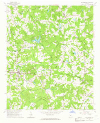
 1964 Mc Donough1965 Print · USGSHenry County in the mid-1960s was a landscape of deep-rooted rural communities tied together by the Southern railroad and country churches. Genealogists and local historians can trace family locations through markers like Cleveland Cem, Turner Church, and the Shingle Roof Campground.4 unique versions available
 - 1964 Map of Stockbridge, 1966 Print
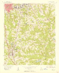
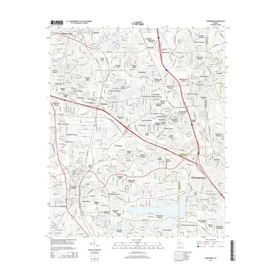
 1964 Stockbridge1966 Print · USGSStockbridge and its rural Henry County surroundings are captured in the mid-1960s as the area transitions from a mill-and-rail economy to modern settlement. Genealogists and historians can trace family-named sites like Millers Mill, Hannahs Millpond, and Price Quarters along the creek valleys.3 unique versions available
 - 1979 Map of Griffin, 1980 Print
 1979 Griffin1980 Print · USGSWest-central Georgia at the close of the seventies reveals a landscape of historic rail towns and growing suburbs between the major river systems. Trace the rail lines and early road networks connecting Griffin, Peachtree City, and Newnan, or locate smaller settlements like Senoia and Experiment.3 unique versions available
 - 1981 Map of Atlanta, 1982 Print
 1981 Atlanta1982 Print · USGSThe Atlanta metro area is shown during its late-century boom, following the completion of the beltway and the rise of its major international airport. Trace the growth of suburbs from Mableton to Tucker and the footprints of Fort McPherson and Stone Mtn.
 - 1993 Map of Jonesboro, 1995 Print
 1993 Jonesboro1995 Print · USGSClayton County and parts of Henry County are shown in the early nineties, capturing a period of intense suburban growth and institutional development. Trace local family history and community roots through landmarks like Sylvester Ch, Adamson Cem, and the sprawling Spivey Lake.
 - 2011 Map of Jonesboro, 2011 Print
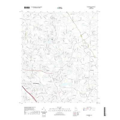
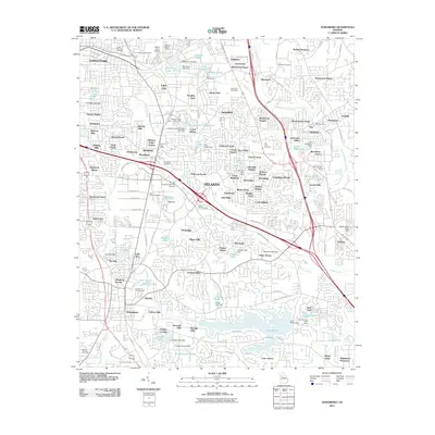 2011 Jonesboro2011 Print · USGSCovers Stockbridge, including Forest Park, Morrow, and other nearby areas
 - 2011 Map of McDonough, 2011 Print
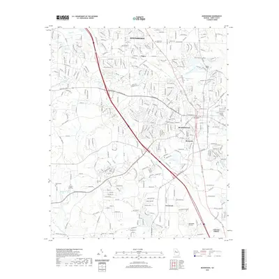
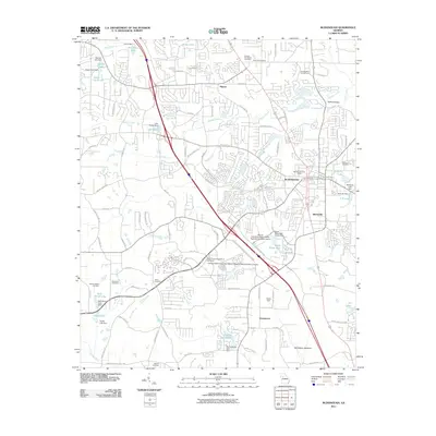 2011 McDonough2011 Print · USGSCovers Stockbridge, including McDonough, Locust Grove, and other nearby areas
 - 2011 Map of Stockbridge, 2011 Print
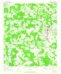
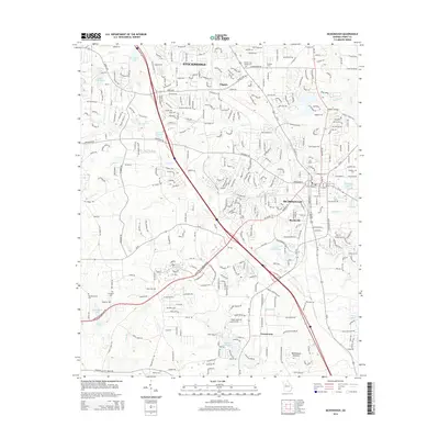
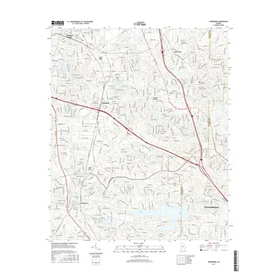
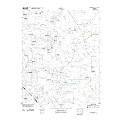 2011 Stockbridge2011 Print · USGSCovers Stockbridge, including Whitehouse, Richardson, and other nearby areas
 - 2014 Map of Stockbridge, 2014 Print
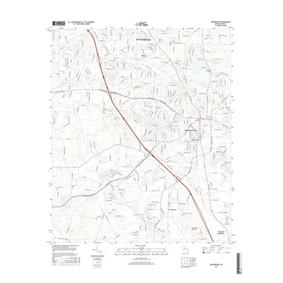
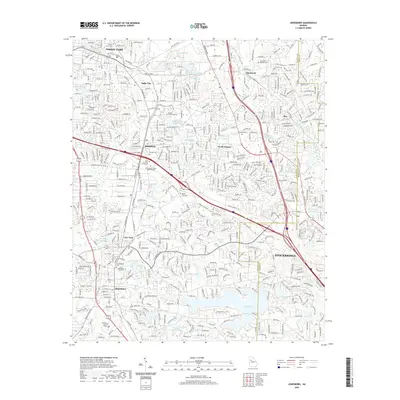
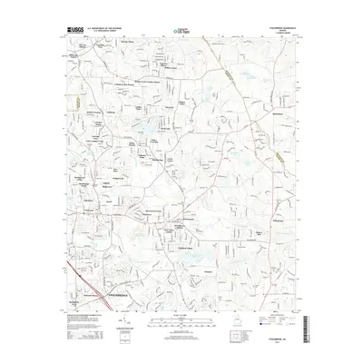 2014 Stockbridge2014 Print · USGSCovers Stockbridge, including Whitehouse, Richardson, and other nearby areas
 - 2014 Map of McDonough, 2014 Print
 2014 McDonough2014 Print · USGSCovers Stockbridge, including McDonough, Locust Grove, and other nearby areas
 - 2014 Map of Jonesboro, 2014 Print
 2014 Jonesboro2014 Print · USGSCovers Stockbridge, including Forest Park, Morrow, and other nearby areas
 - 2017 Map of Stockbridge, 2017 Print
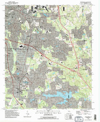
 2017 Stockbridge2017 Print · USGSCovers Stockbridge, including Whitehouse, Richardson, and other nearby areas
 - 2017 Map of McDonough, 2017 Print
 2017 McDonough2017 Print · USGSCovers Stockbridge, including McDonough, Locust Grove, and other nearby areas
 - 2017 Map of Jonesboro, 2017 Print
 2017 Jonesboro2017 Print · USGSCovers Stockbridge, including Forest Park, Morrow, and other nearby areas
 - 2020 Map of McDonough, 2020 Print
 2020 McDonough2020 Print · USGSCovers Stockbridge, including McDonough, Locust Grove, and other nearby areas
 - 2020 Map of Stockbridge, 2020 Print
 2020 Stockbridge2020 Print · USGSCovers Stockbridge, including Whitehouse, Richardson, and other nearby areas
 - 2020 Map of Jonesboro, 2020 Print
 2020 Jonesboro2020 Print · USGSCovers Stockbridge, including Forest Park, Morrow, and other nearby areas
Showing maps 1-25 of 28
Top cities near Stockbridge
- Atlanta historical maps
- Stonecrest historical maps
- East Point historical maps
- McDonough historical maps
- Decatur historical maps
- Candler-McAfee historical maps
See more
Top neighborhoods of Stockbridge
- Parkwood historical maps
- Ridgecrest historical maps
- Stockbridge North historical maps
- Red Oak historical maps
- Duval historical maps
- Fairlane historical maps
See more
Frequently asked questions
- What are the different types of historical maps available for Stockbridge?
- What is the oldest map of Stockbridge?
- Where can I purchase historical maps of Stockbridge for my home or office?
- Where can I download high-res historical maps of Stockbridge?
- Are there historical topographic maps available for Stockbridge?
- Is there historical aerial imagery available for Stockbridge?
- Where are historical maps of Stockbridge sourced from?