2020s Maps of Ocilla, Georgia
Explore 8 historic maps of Ocilla from the 2020s. These maps offer a rare glimpse into what life looked like during the 2020s — showing old roads, neighborhoods, homes, and landmarks that have changed or disappeared over time.
Whether you're researching your family's past, planning a metal detecting trip, or studying how Ocilla's landscape evolved across the 2020s, these high-resolution maps are a powerful tool for exploring the history of this region.
- Focus on a specific era: All maps on this page are from the 2020s, giving you a focused view of this time period.
- See what’s changed: Compare century-old streets, trails, and buildings to today's modern landscape using overlays and satellite layers.
- Research with precision: Use these maps for genealogy, historical research, land use analysis, or educational projects.
- View, download, or print: Maps are fully viewable online in high resolution, and can be downloaded or printed for your own records.
Start exploring Ocilla's history through authentic maps from the 2020s. This is your window into the past.
Ocilla, GA maps
(8)- 2020 Map of Ocilla West, 2020 Print
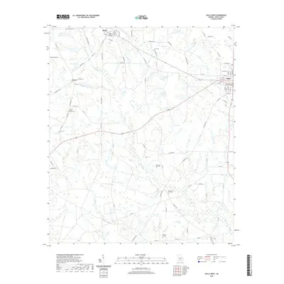 2020 Ocilla West2020 Print · USGSCovers Ocilla, including Pinetta, Mystic, and other nearby areas
 - 2020 Map of Fitzgerald West, 2020 Print
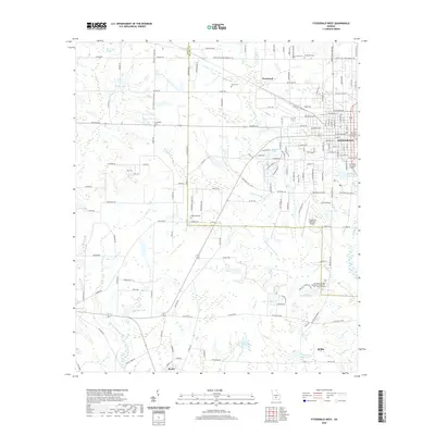 2020 Fitzgerald West2020 Print · USGSCovers Ocilla, including Fitzgerald, Westwood, and other nearby areas
 - 2020 Map of Fitzgerald East, 2020 Print
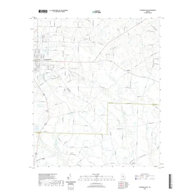 2020 Fitzgerald East2020 Print · USGSCovers Ocilla, including Ashton, Fitzgerald, and other nearby areas
 - 2020 Map of Ocilla East, 2020 Print
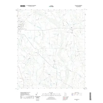 2020 Ocilla East2020 Print · USGSCovers Ocilla, including Holt, Irwin County, and other nearby areas
 - 2024 Map of Fitzgerald East, 2024 Print
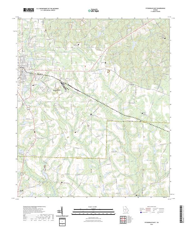 2024 Fitzgerald East2024 Print · USGSThe agricultural landscape of South Georgia comes into focus as it appears today, spanning the boundary between Ben Hill and Irwin counties. Genealogists can locate numerous rural burial sites and congregations like Kiokee Cem, McCook Cem, and Mount Olive Cem.
 - 2024 Map of Fitzgerald West, 2024 Print
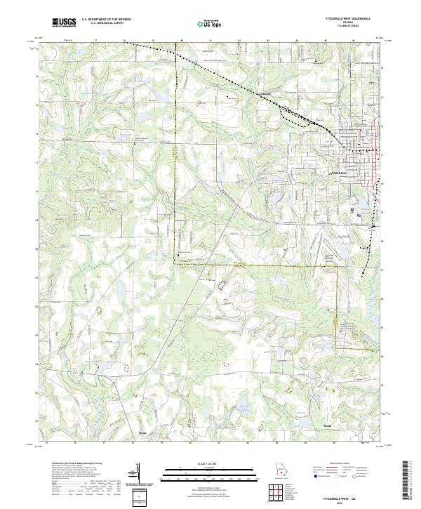 2024 Fitzgerald West2024 Print · USGSThe intersection of Ben Hill and Irwin Counties comes to life here, showing the western expansion of the regional hub of Fitzgerald. Researchers can trace family history through several burial sites like Englewood Cem and Arbor Cem, or locate landmarks like the Fitzgerald Municipal Airport.
 - 2024 Map of Ocilla West, 2024 Print
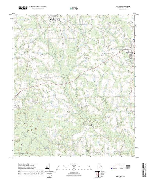 2024 Ocilla West2024 Print · USGSIrwin County, Georgia, remains a landscape of deep-rooted rural communities and slow-moving creeks in this recent survey. Genealogists can trace family landmarks like Old Valley Grove Cem, Pleasant Hill Cem, and the historic Irwin County Courthouse.
 - 2024 Map of Ocilla East, 2024 Print
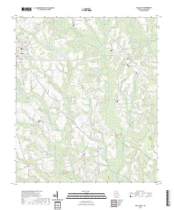 2024 Ocilla East2024 Print · USGSThe Irwin County countryside near Ocilla is revealed in this contemporary survey, showing a landscape shaped by the Willacoochee River and generational landholdings. Researchers can locate several rural burial sites including Whitleys Cem and the Henderson Chapel Cem near the community of Holt.
End of results
Showing maps 1-8 of 8
Top cities near Ocilla
Frequently asked questions
- What are the different types of historical maps available for Ocilla?
- What is the oldest map of Ocilla?
- Where can I purchase historical maps of Ocilla for my home or office?
- Where can I download high-res historical maps of Ocilla?
- Are there historical topographic maps available for Ocilla?
- Is there historical aerial imagery available for Ocilla?
- Where are historical maps of Ocilla sourced from?