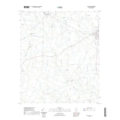
2020 Map of Ocilla West
USGS Topo · Published 2020About this map
The agrarian landscape of Irwin County unfolds across this contemporary survey, anchored by the settlements of Mystic, Pinetta, and the western edge of Ocilla. A dense network of family-named cemeteries and rural churches, such as the Mystic Baptist Church and Pleasant Hill Cem, provides significant genealogical markers for those tracing roots in south-central Georgia. The terrain is defined by the winding course of Reedy Creek and several distinct water bodies, including Lake Bettie and the twin basins of Turk Lake North and Turk Lake South.
Find a feature on this map
95 named features on this map. Tap any name to fly to it.
Don’t see what you’re looking for? This feature index may not catch every label — zoom into the map to look around manually.
Map Details
Editions of this 2020 Ocilla West Map
This is the sole edition of this map. No revisions or reprints were ever made.
Other maps of this area

1953 · Waycross
USGS Topo · 1:250,000

1958 · Waycross
USGS Topo · 1:250,000

1972 · Fitzgerald East
USGS Topo · 1:24,000

1972 · Ocilla East
USGS Topo · 1:24,000

1973 · Ocilla West
USGS Topo · 1:24,000

1973 · Waterloo
USGS Topo · 1:24,000

1973 · Irwinville
USGS Topo · 1:24,000

1973 · Enigma
USGS Topo · 1:24,000

1973 · Tifton East
USGS Topo · 1:24,000

1973 · Fitzgerald West
USGS Topo · 1:24,000