Old Maps of Ocilla, Georgia for Academic Research
Study the evolution of Ocilla with 28 high-resolution historic maps. Whether you're teaching, researching, or modeling changes in land use, these maps provide essential visual documentation of urban, environmental, and geographic change.
- Analyze long-term change: Track patterns in development, transportation, and natural features.
- Ideal for environmental or urban studies: Support academic projects with primary historical map data.
- Use in the classroom or lab: Educators and researchers rely on these maps to bring historical context to life.
These maps are a powerful tool for teaching, research, and visualizing how Ocilla has changed over the decades.
Ocilla, GA maps
(28)- 1953 Map of Waycross, 1967 Print
 1953 Waycross1967 Print · USGSSouth Georgia's agricultural and rail heartland is captured here in the mid-1950s, showing a vast network of timber and farming towns. Researchers can trace the rail lines connecting Waycross and Tifton or locate landmarks like Jefferson Davis State Park and Lake Blackshear.2 unique versions available
 - 1958 Map of Waycross
 1958 Waycross1958 Print · USGSSoutheast Georgia in the late fifties remains a landscape of deep river basins and vital rail junctions. Genealogists and historians can trace family-named landmarks and rural hubs like Union Church, South Georgia College, and the sprawling Okefenokee Swamp.2 unique versions available
 - 1972 Map of Fitzgerald East, 1976 Print
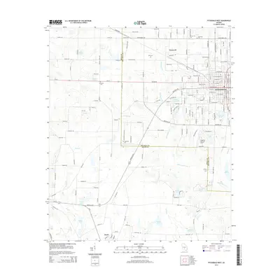
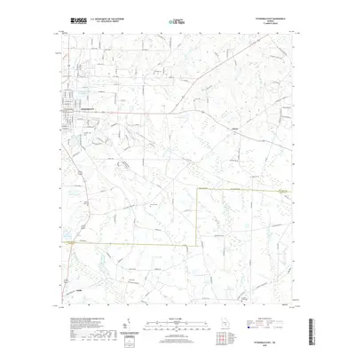
 1972 Fitzgerald East1976 Print · USGSGeorgia's Wiregrass region comes into focus during the early 1970s, as the county line between Ben Hill and Irwin follows the path of the Seaboard Coast Line. Genealogists can locate family sites at Evergreen Cemetery or Troup Cem and trace rural congregations at Anderson Mem Ch and Prospect Ch.2 unique versions available
 - 1972 Map of Ocilla East, 1977 Print
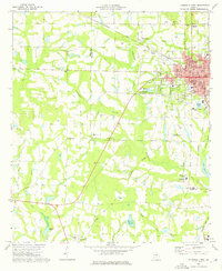
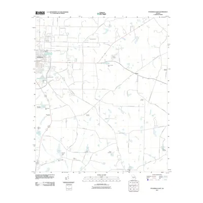
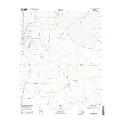
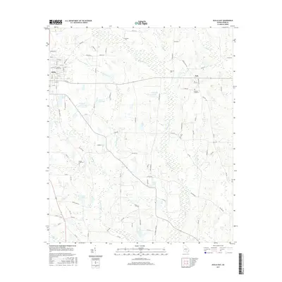
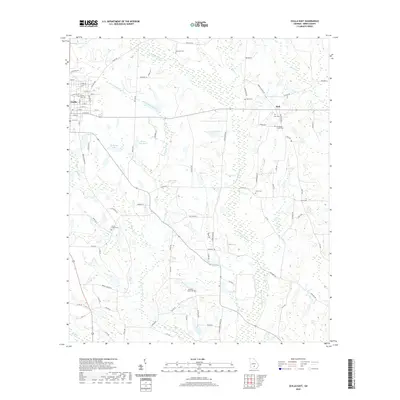
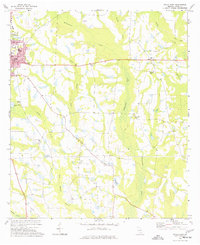 1972 Ocilla East1977 Print · USGSIrwin County in the early seventies is mapped here as a landscape of river-bottom lowlands and established farming communities. Genealogists and local historians can locate Whitleys Cem, the settlement of Holt, and several country churches including Midway Ch.
 - 1973 Map of Ocilla West, 1975 Print
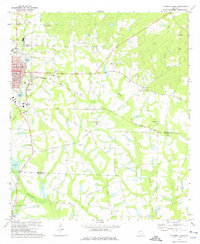
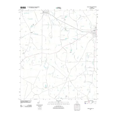
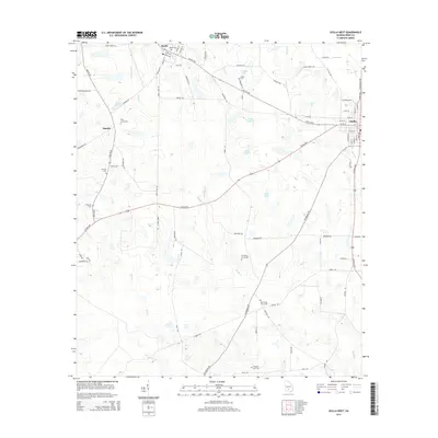
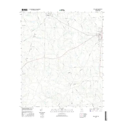
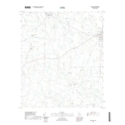
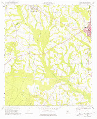 1973 Ocilla West1975 Print · USGSIn the early 1970s, the rural reaches of Irwin County were defined by small agricultural settlements and the Seaboard Coast Line railroad. Genealogists and local historians can trace family ties through Fletcher Cem, Old Valley Grove Ch, and the streets of Ocilla.2 unique versions available
 - 1973 Map of Fitzgerald West, 1976 Print
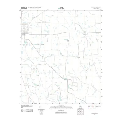
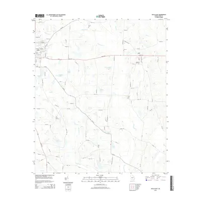
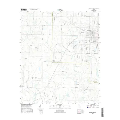
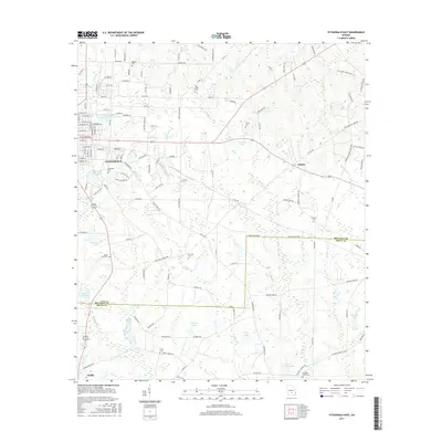
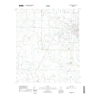
 1973 Fitzgerald West1976 Print · USGSThe city of Fitzgerald and the surrounding Ben Hill and Irwin County countryside are documented here in the early 1970s. Trace local family roots through country landmarks like New Prospect Ch, Dixon Cem, and the old settlement at Mystic.2 unique versions available
 - 1981 Map of Cordele, 1982 Print
 1981 Cordele1982 Print · USGSSouth Georgia’s agricultural heartland is documented here in the early eighties, showing the convergence of the Seaboard Coast Line Railroad and the Georgia Southern and Florida lines. Genealogists and researchers can trace local landmarks like Bowens Mill Pond, the University of Georgia Research Center, and the shores of Lake Blackshear.
 - 1988 Map of Waycross
 1988 Waycross1988 Print · USGSSouth Georgia's wiregrass and timber country is documented here in the late eighties, centered on the vital rail junction of Waycross. Genealogists and historians can trace the rural landscape from Okefenokee up to the Ocmulgee, finding sites like Lumber City and Jefferson Davis Memorial State Park.
 - 2011 Map of Ocilla West, 2011 Print
 2011 Ocilla West2011 Print · USGSCovers Ocilla, including Pinetta, Mystic, and other nearby areas
 - 2011 Map of Fitzgerald West, 2011 Print
 2011 Fitzgerald West2011 Print · USGSCovers Ocilla, including Fitzgerald, Westwood, and other nearby areas
 - 2011 Map of Ocilla East, 2011 Print
 2011 Ocilla East2011 Print · USGSCovers Ocilla, including Holt, Irwin County, and other nearby areas
 - 2011 Map of Fitzgerald East, 2011 Print
 2011 Fitzgerald East2011 Print · USGSCovers Ocilla, including Ashton, Fitzgerald, and other nearby areas
 - 2014 Map of Fitzgerald West, 2014 Print
 2014 Fitzgerald West2014 Print · USGSCovers Ocilla, including Fitzgerald, Westwood, and other nearby areas
 - 2014 Map of Ocilla West, 2014 Print
 2014 Ocilla West2014 Print · USGSCovers Ocilla, including Pinetta, Mystic, and other nearby areas
 - 2014 Map of Fitzgerald East, 2014 Print
 2014 Fitzgerald East2014 Print · USGSCovers Ocilla, including Ashton, Fitzgerald, and other nearby areas
 - 2014 Map of Ocilla East, 2014 Print
 2014 Ocilla East2014 Print · USGSCovers Ocilla, including Holt, Irwin County, and other nearby areas
 - 2017 Map of Ocilla West, 2017 Print
 2017 Ocilla West2017 Print · USGSCovers Ocilla, including Pinetta, Mystic, and other nearby areas
 - 2017 Map of Fitzgerald West, 2017 Print
 2017 Fitzgerald West2017 Print · USGSCovers Ocilla, including Fitzgerald, Westwood, and other nearby areas
 - 2017 Map of Fitzgerald East, 2017 Print
 2017 Fitzgerald East2017 Print · USGSCovers Ocilla, including Ashton, Fitzgerald, and other nearby areas
 - 2017 Map of Ocilla East, 2017 Print
 2017 Ocilla East2017 Print · USGSCovers Ocilla, including Holt, Irwin County, and other nearby areas
 - 2020 Map of Ocilla West, 2020 Print
 2020 Ocilla West2020 Print · USGSCovers Ocilla, including Pinetta, Mystic, and other nearby areas
 - 2020 Map of Fitzgerald West, 2020 Print
 2020 Fitzgerald West2020 Print · USGSCovers Ocilla, including Fitzgerald, Westwood, and other nearby areas
 - 2020 Map of Fitzgerald East, 2020 Print
 2020 Fitzgerald East2020 Print · USGSCovers Ocilla, including Ashton, Fitzgerald, and other nearby areas
 - 2020 Map of Ocilla East, 2020 Print
 2020 Ocilla East2020 Print · USGSCovers Ocilla, including Holt, Irwin County, and other nearby areas
 - 2024 Map of Fitzgerald East, 2024 Print
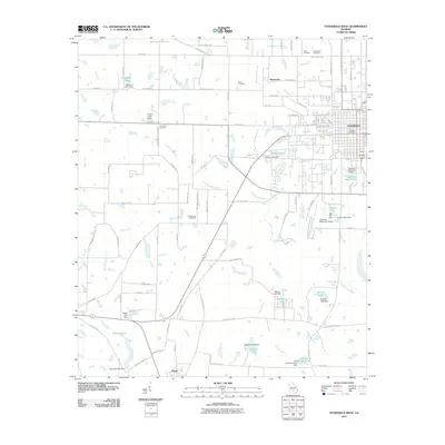
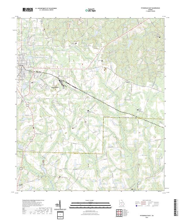 2024 Fitzgerald East2024 Print · USGSThe agricultural landscape of South Georgia comes into focus as it appears today, spanning the boundary between Ben Hill and Irwin counties. Genealogists can locate numerous rural burial sites and congregations like Kiokee Cem, McCook Cem, and Mount Olive Cem.
Showing maps 1-25 of 28
Top cities near Ocilla
Frequently asked questions
- What are the different types of historical maps available for Ocilla?
- What is the oldest map of Ocilla?
- Where can I purchase historical maps of Ocilla for my home or office?
- Where can I download high-res historical maps of Ocilla?
- Are there historical topographic maps available for Ocilla?
- Is there historical aerial imagery available for Ocilla?
- Where are historical maps of Ocilla sourced from?