Old Maps of Scarboro, Georgia for Metal Detecting
Plan your next treasure hunt with 21 historic maps of Scarboro. Find old homesites, ghost towns, trails, and gathering spots that may be lost to time — perfect for identifying promising metal detecting locations.
- Locate forgotten sites: Uncover places like long-lost settlements, abandoned rail lines, or gathering spots.
- Plan better hunts: Use map overlays combined with LiDAR or satellite views to narrow in on historically rich areas.
- Made for detectorists: Thousands of hobbyists use these maps to discover relics, coins, and hidden history.
Use these historic maps to boost your research and find new opportunities beneath the surface of Scarboro.
Scarboro, GA maps
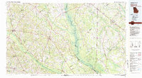
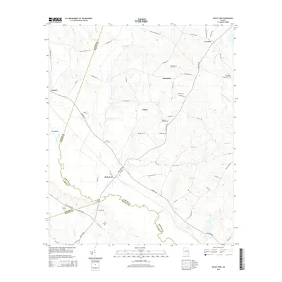
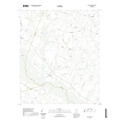
(21)- 1921 Map of Rocky Ford
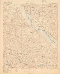 1921 Rocky Ford1921 Print · USGSSoutheast Georgia in the early twenties reveals a landscape of river-bottom swamps and decentralized farming communities. Genealogists can trace local roots through numerous family-named landmarks like Bradwell School, Akins Mill Creek, and Finchs Store.2 unique versions available
 - 1943 Map of Rocky Ford
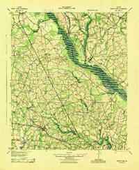 1943 Rocky Ford1943 Print · USGSBulloch, Jenkins, and Screven counties are shown here during the early 1940s as the railroad and river still drove local life. Genealogists can locate family landmarks like Williams Chapel, Mallards Mill, and the various schoolhouses including Alexander Sch and Daughtry Sch.
 - 1943 Map of Millen
 1943 Millen1943 Print · USGSEastern Georgia during the early 1940s is shown here as a network of rail-side towns and river landings. Genealogists and local historians can locate many rural landmarks including Habersham Sch, Lovetts Cemetery, and the river crossing at Burtons Ferry.
 - 1947 Map of Savannah
 1947 Savannah1947 Print · USGSCoastal Georgia and South Carolina are captured here in the mid-forties, showing the rail-and-river networks of the Lowcountry. Genealogists and researchers can trace old crossroads and river towns from Statesboro to Beaufort, alongside military sites like Camp Stewart and Parris Island.
 - 1948 Map of Savannah
 1948 Savannah1948 Print · USGSThe Georgia and South Carolina Lowcountry comes alive in this post-war survey of the coast and its river-fed hinterlands. Genealogists and historians can trace rail lines like the Central of Georgia RR and find established settlements such as Isle of Hope and Sylvania.
 - 1957 Map of Savannah, 1967 Print
 1957 Savannah1967 Print · USGSThe Lowcountry and Georgia coastal plain are shown here in the late fifties, prior to modern expansion. Researchers can trace the rail-and-river economy through the Central of Georgia lines and the Ogeechee River wetlands.4 unique versions available
 - 1960 Map of Savannah
 1960 Savannah1960 Print · USGSCoastal Georgia and the South Carolina Lowcountry are captured in the late fifties, showcasing the intricate web of islands and tidal rivers before modern expansion. Researchers can trace the rail lines of the Atlantic Coast Line or locate sites like Parris Island, Beaufort, and the Tybee Lighthouse.
 - 1961 Map of Savannah
 1961 Savannah1961 Print · USGSThe Georgia and South Carolina Lowcountry comes alive in this mid-century survey of coastal marshes, barrier islands, and river networks. Genealogists and historians can trace the paths of the Seaboard Air Line RR, locate family sites near Isle of Hope, or study the grounds of Fort Stewart Military Reservation.2 unique versions available
 - 1978 Map of Four Points
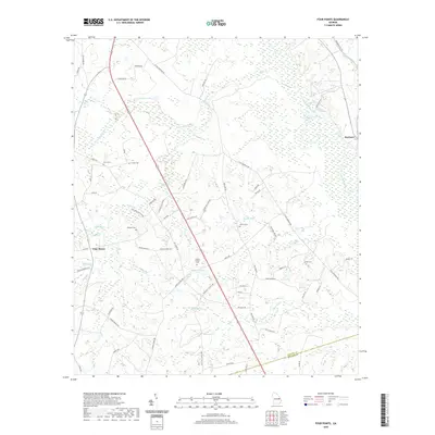
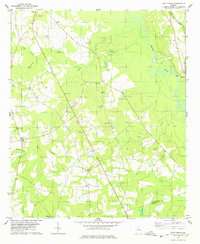 1978 Four Points1978 Print · USGSCoastal Plain farmland in Jenkins and Bulloch Counties is captured here in the late seventies, centered on the settlement of Four Points. Family researchers can locate numerous rural landmarks including Lane Cem, Paynes Chapel, and the Central of Georgia rail line.
 - 1978 Map of Rocky Ford
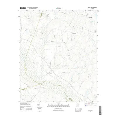
 1978 Rocky Ford1978 Print · USGSThe Ogeechee River lowlands and the Central of Georgia railroad define this corner of Screven County in the late seventies. Genealogists can trace family landmarks like Parker Cem, Finch Cem, and local congregations at St Johns Ch and New Light Ch.
 - 1981 Map of Sylvania, 1982 Print
 1981 Sylvania1982 Print · USGSThe Georgia and South Carolina borderlands appear in the early 1980s, centered on the river-fed swamps and railroad towns between Sylvania and Estill. Trace family roots and vanished infrastructure along the Central of Georgia line or near Magnolia Springs State Park.
 - 2011 Map of Four Points, 2011 Print
 2011 Four Points2011 Print · USGSCovers Scarboro, including Four Points, Bulloch County, and other nearby areas
 - 2011 Map of Rocky Ford, 2011 Print
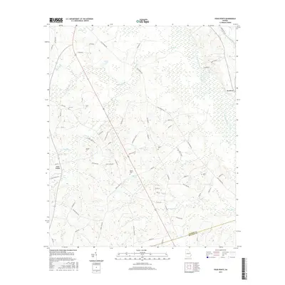
 2011 Rocky Ford2011 Print · USGSCovers Scarboro, including Rocky Ford, Thomasboro, and other nearby areas
 - 2014 Map of Four Points, 2014 Print
 2014 Four Points2014 Print · USGSCovers Scarboro, including Four Points, Bulloch County, and other nearby areas
 - 2014 Map of Rocky Ford, 2014 Print
 2014 Rocky Ford2014 Print · USGSCovers Scarboro, including Rocky Ford, Thomasboro, and other nearby areas
 - 2017 Map of Four Points, 2017 Print
 2017 Four Points2017 Print · USGSCovers Scarboro, including Four Points, Bulloch County, and other nearby areas
 - 2017 Map of Rocky Ford, 2017 Print
 2017 Rocky Ford2017 Print · USGSCovers Scarboro, including Rocky Ford, Thomasboro, and other nearby areas
 - 2020 Map of Four Points, 2020 Print
 2020 Four Points2020 Print · USGSCovers Scarboro, including Four Points, Bulloch County, and other nearby areas
 - 2020 Map of Rocky Ford, 2020 Print
 2020 Rocky Ford2020 Print · USGSCovers Scarboro, including Rocky Ford, Thomasboro, and other nearby areas
 - 2024 Map of Four Points, 2024 Print
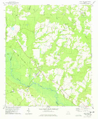
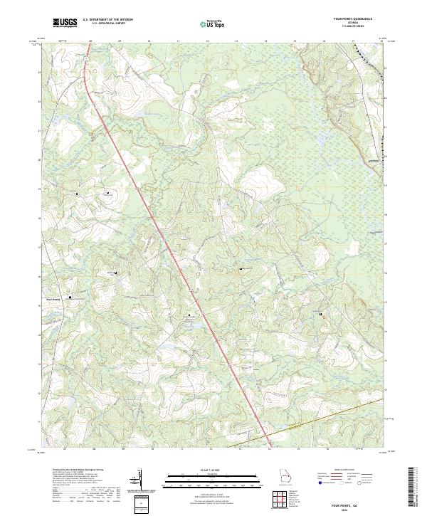 2024 Four Points2024 Print · USGSThe rural landscapes of Jenkins County are documented here as they appear today, centered on the Four Points crossroads and the Ogeechee River corridor. Researchers can locate numerous family landmarks and burial sites, from Lane Cem to the Paynes Chapel Methodist Church Cem.
 - 2024 Map of Rocky Ford, 2024 Print
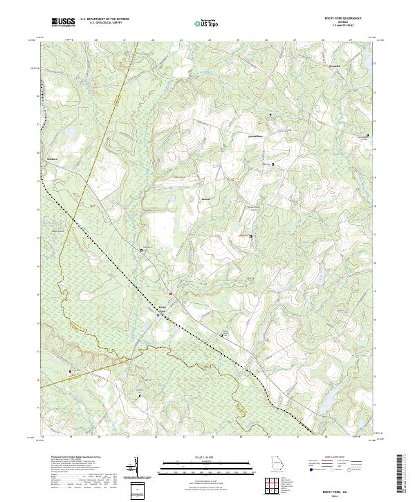 2024 Rocky Ford2024 Print · USGSCoastal plain settlements and family homesteads line the riverbanks of eastern Georgia in this modern topographic study. Researchers can trace land tracts near the Ogeechee River and locate historic burial sites like the Rocky Ford Cem or Little Horse Creek Cem.
End of results
Showing maps 1-21 of 21
Top cities near Scarboro
- Millen historical maps
- Sylvania historical maps
- Portal historical maps
- Hiltonia historical maps
- Rocky Ford historical maps
- Garfield historical maps
See more
Frequently asked questions
- What are the different types of historical maps available for Scarboro?
- What is the oldest map of Scarboro?
- Where can I purchase historical maps of Scarboro for my home or office?
- Where can I download high-res historical maps of Scarboro?
- Are there historical topographic maps available for Scarboro?
- Is there historical aerial imagery available for Scarboro?
- Where are historical maps of Scarboro sourced from?