Old Maps of Dublin, Georgia for Hiking & Exploration
Hike through history with 18 historic maps of Dublin. Explore old trails, ghost towns, and forgotten backroads — perfect for outdoor adventurers and local explorers.
- Rediscover forgotten places: Map out old mining camps, roads, and footpaths that no longer exist on modern maps.
- Layer with modern tools: Combine with LiDAR or satellite views to plan hikes through historical terrain.
- Made for exploration: Popular among hikers, overlanders, and local history lovers.
Use these maps to find adventure and explore the hidden past of Dublin.
Dublin, GA maps
(18)- 1957 Map of Macon
 1957 Macon1957 Print · USGSMid-century Georgia comes into focus as the river-and-rail economy shifts toward a new era of aviation and highway travel. Trace family roots and vanished landmarks across the Ocmulgee River valley from Macon to the onion fields of Vidalia.
 - 1958 Map of Macon
 1958 Macon1958 Print · USGSMiddle Georgia during the late fifties shows the post-war expansion of Warner Robins alongside the deep-rooted rail hubs of the Central of Georgia line. Researchers can trace the river-bound boundaries of numerous counties and find local landmarks like Veterans Memorial Hospital and Robins AFB.
 - 1964 Map of Macon
 1964 Macon1964 Print · USGSCentral Georgia in the mid-sixties is defined by its major river valleys and a booming military presence. Genealogists and historians can trace the growth of Warner Robins near Robins AFB or locate smaller rural junctions like Allentown and Jeffersonville along the historic Southern railroad lines.2 unique versions available
 - 1974 Map of Rentz, 1976 Print
 1974 Rentz1976 Print · USGSSouthern Laurens County during the mid-seventies reveals a rural landscape defined by family-named cemeteries and a dense network of country churches. Genealogists can locate specific landmarks like Pearson Cem, Fleming Chapel, and the settlement of Garretta.
 - 1974 Map of Dublin, 1977 Print
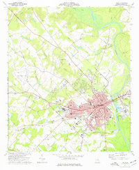 1974 Dublin1977 Print · USGSDublin and its riverfront neighbor were thriving Laurens County hubs during the mid-seventies, split by the Oconee River. Local historians can trace the development of the Veterans Hospital, several rural churches like Rice Hill Ch, and the path of the Central of Georgia railroad.2 unique versions available
 - 1979 Map of Vidalia, 1980 Print
 1979 Vidalia1980 Print · USGSSoutheast Georgia in the late 1970s is a landscape of river-bend settlements and crossing rail lines. Researchers can trace family roots and land patterns through several towns like Vidalia, Soperton, and Mount Vernon, or locate regional landmarks like the State Prison.2 unique versions available
 - 1981 Map of Dublin
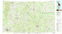 1981 Dublin1981 Print · USGSEast Georgia in the early eighties shows a landscape defined by its river basins and a persistent rail network. Genealogists and historians can trace family roots through historic town centers like Sandersville, Swainsboro, and Louisville or follow the Old Railroad Grade.
 - 1988 Map of Macon, 1989 Print
 1988 Macon1989 Print · USGSCentral Georgia is captured during the late eighties, showing the expansive river systems and growing urban hubs of the regional interior. Genealogists and historians can trace the paths of the Central of Georgia Railroad and locate communities like Warner Robbins, Dublin, and Sandersville.
 - 2011 Map of Dublin, 2011 Print
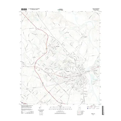
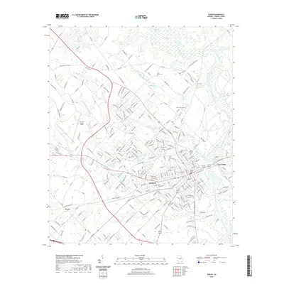
 2011 Dublin2011 Print · USGSCovers Dublin, including East Dublin, Holly Hills, and other nearby areas
 - 2011 Map of Rentz, 2011 Print
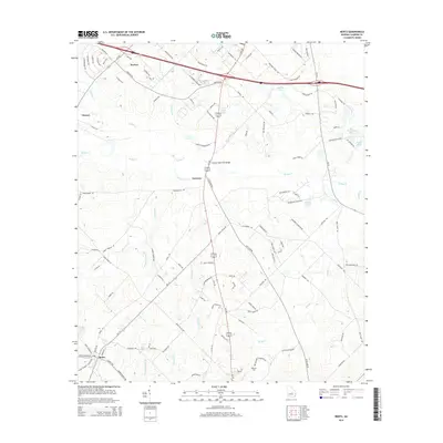
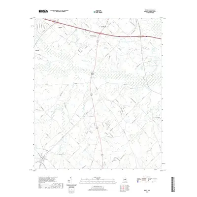
 2011 Rentz2011 Print · USGSCovers Dublin, including Rentz, Garretta, and other nearby areas
 - 2014 Map of Dublin, 2014 Print
 2014 Dublin2014 Print · USGSCovers Dublin, including East Dublin, Holly Hills, and other nearby areas
 - 2014 Map of Rentz, 2014 Print
 2014 Rentz2014 Print · USGSCovers Dublin, including Rentz, Garretta, and other nearby areas
 - 2017 Map of Rentz, 2017 Print
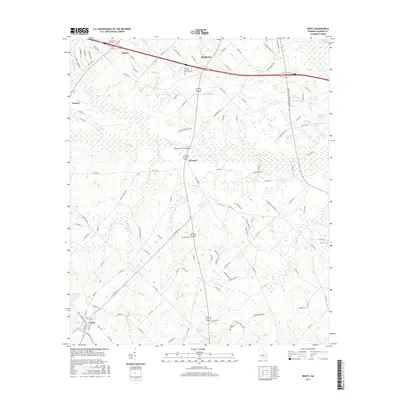 2017 Rentz2017 Print · USGSCovers Dublin, including Rentz, Garretta, and other nearby areas
 - 2017 Map of Dublin, 2017 Print
 2017 Dublin2017 Print · USGSCovers Dublin, including East Dublin, Holly Hills, and other nearby areas
 - 2020 Map of Dublin, 2020 Print
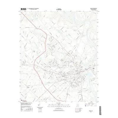
 2020 Dublin2020 Print · USGSCovers Dublin, including East Dublin, Holly Hills, and other nearby areas
 - 2020 Map of Rentz, 2020 Print
 2020 Rentz2020 Print · USGSCovers Dublin, including Rentz, Garretta, and other nearby areas
 - 2024 Map of Dublin, 2024 Print
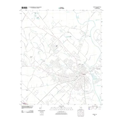
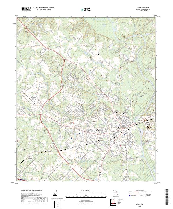 2024 Dublin2024 Print · USGSLaurens County, Georgia, is centered on the river crossing at Dublin during its modern period of growth. Genealogists and researchers can trace local landmarks from the Laurens County Courthouse and Old Dublin Cem to the W H 'Bud' Barron Airport and the community of Moores.
 - 2024 Map of Rentz, 2024 Print
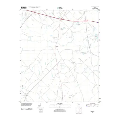
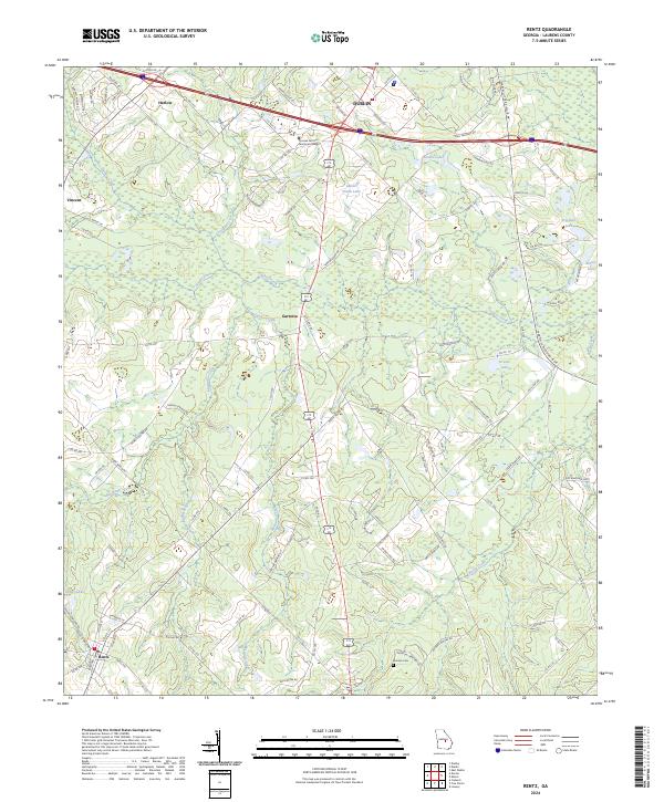 2024 Rentz2024 Print · USGSLaurens County settlement patterns and rural life are captured here in the early twenty-first century. Genealogists can trace family landmarks like the Mclendon Cemetery and Pearson Cem, or locate the technical college near Harlow.
End of results
Showing maps 1-18 of 18
Top cities near Dublin
- Wrightsville historical maps
- East Dublin historical maps
- Chester historical maps
- Dexter historical maps
- Dudley historical maps
- Cadwell historical maps
See more
Frequently asked questions
- What are the different types of historical maps available for Dublin?
- What is the oldest map of Dublin?
- Where can I purchase historical maps of Dublin for my home or office?
- Where can I download high-res historical maps of Dublin?
- Are there historical topographic maps available for Dublin?
- Is there historical aerial imagery available for Dublin?
- Where are historical maps of Dublin sourced from?