2000s (21st Century) Maps of Riceboro, Georgia
Explore 20 historic maps of Riceboro from the 2000s (21st Century). These maps offer a rare glimpse into what life looked like during the 2000s — showing old roads, neighborhoods, homes, and landmarks that have changed or disappeared over time.
Whether you're researching your family's past, planning a metal detecting trip, or studying how Riceboro's landscape evolved across the 2000s, these high-resolution maps are a powerful tool for exploring the history of this region.
- Focus on a specific era: All maps on this page are from the 2000s, giving you a focused view of this time period.
- See what’s changed: Compare century-old streets, trails, and buildings to today's modern landscape using overlays and satellite layers.
- Research with precision: Use these maps for genealogy, historical research, land use analysis, or educational projects.
- View, download, or print: Maps are fully viewable online in high resolution, and can be downloaded or printed for your own records.
Start exploring Riceboro's history through authentic maps from the 2000s. This is your window into the past.
Riceboro, GA maps
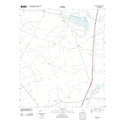
(20)- 2011 Map of Dorchester, 2011 Print
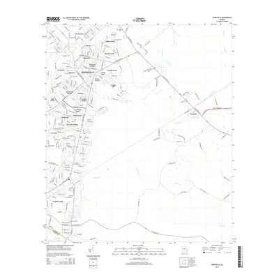
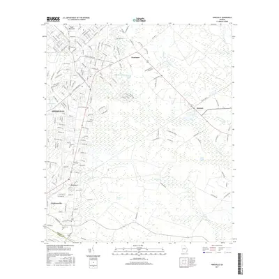
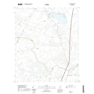
 2011 Dorchester2011 Print · USGSCovers Riceboro, including Midway, Limerick, and other nearby areas
 - 2011 Map of Hinesville, 2011 Print
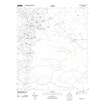 2011 Hinesville2011 Print · USGSCovers Riceboro, including Hinesville, Fort Stewart, and other nearby areas
 - 2011 Map of Riceboro, 2011 Print
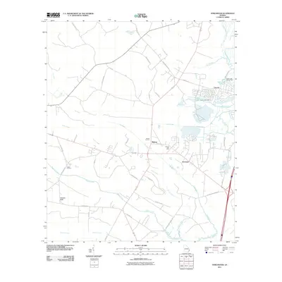
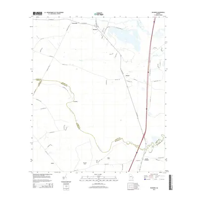
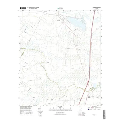
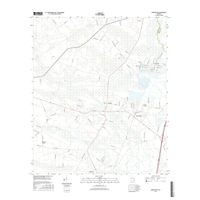
 2011 Riceboro2011 Print · USGSCovers Riceboro, including Jones, Crossroads, and other nearby areas
 - 2011 Map of East of Ludowici, 2011 Print
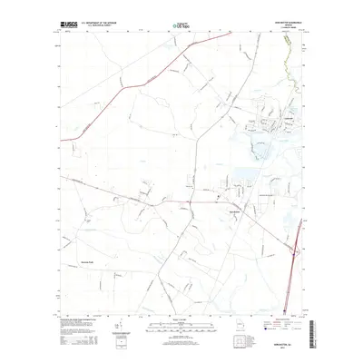
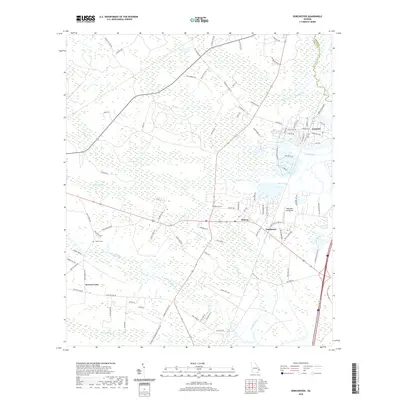
 2011 East of Ludowici2011 Print · USGSCovers Riceboro, including Liberty County, Long County, and other nearby areas
 - 2014 Map of East of Ludowici, 2014 Print
 2014 East of Ludowici2014 Print · USGSCovers Riceboro, including Liberty County, Long County, and other nearby areas
 - 2014 Map of Dorchester, 2014 Print
 2014 Dorchester2014 Print · USGSCovers Riceboro, including Midway, Limerick, and other nearby areas
 - 2014 Map of Riceboro, 2014 Print
 2014 Riceboro2014 Print · USGSCovers Riceboro, including Jones, Crossroads, and other nearby areas
 - 2014 Map of Hinesville, 2014 Print
 2014 Hinesville2014 Print · USGSCovers Riceboro, including Hinesville, Fort Stewart, and other nearby areas
 - 2017 Map of Riceboro, 2017 Print
 2017 Riceboro2017 Print · USGSCovers Riceboro, including Jones, Crossroads, and other nearby areas
 - 2017 Map of Hinesville, 2017 Print
 2017 Hinesville2017 Print · USGSCovers Riceboro, including Hinesville, Fort Stewart, and other nearby areas
 - 2017 Map of Dorchester, 2017 Print
 2017 Dorchester2017 Print · USGSCovers Riceboro, including Midway, Limerick, and other nearby areas
 - 2017 Map of East of Ludowici, 2017 Print
 2017 East of Ludowici2017 Print · USGSCovers Riceboro, including Liberty County, Long County, and other nearby areas
 - 2020 Map of East of Ludowici, 2020 Print
 2020 East of Ludowici2020 Print · USGSCovers Riceboro, including Liberty County, Long County, and other nearby areas
 - 2020 Map of Hinesville, 2020 Print
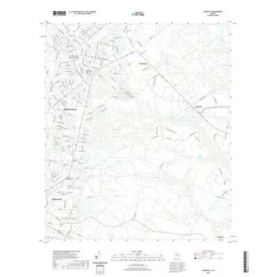 2020 Hinesville2020 Print · USGSCovers Riceboro, including Hinesville, Fort Stewart, and other nearby areas
 - 2020 Map of Riceboro, 2020 Print
 2020 Riceboro2020 Print · USGSCovers Riceboro, including Jones, Crossroads, and other nearby areas
 - 2020 Map of Dorchester, 2020 Print
 2020 Dorchester2020 Print · USGSCovers Riceboro, including Midway, Limerick, and other nearby areas
 - 2024 Map of East of Ludowici, 2024 Print
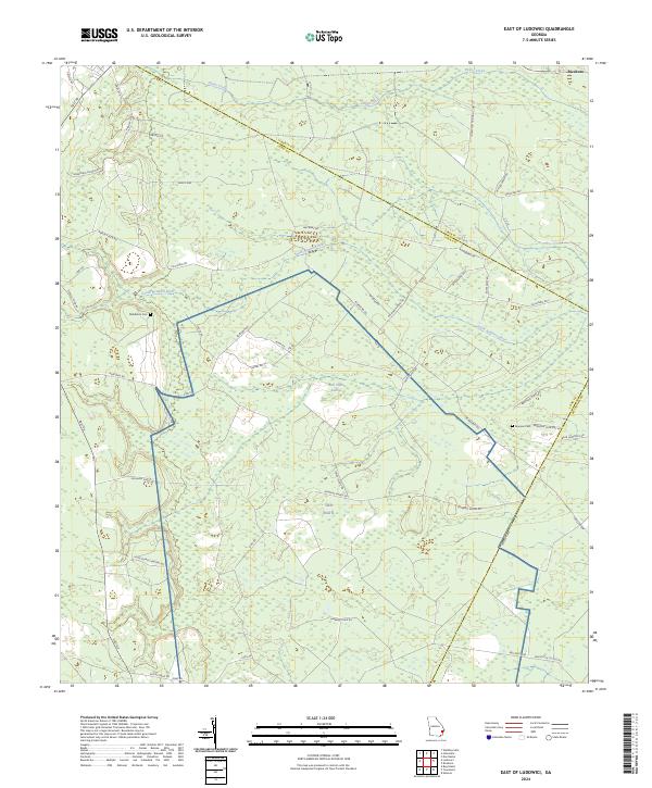 2024 East of Ludowici2024 Print · USGSCoastal Georgia's lowlands and river basins are captured here in the early twenty-first century as the landscape transitions between three counties. Genealogists and researchers can locate family burial sites like Middleton Cem and trace old routes through Bull Town Swamp and along Warsaw Tram Rd.
 - 2024 Map of Hinesville, 2024 Print
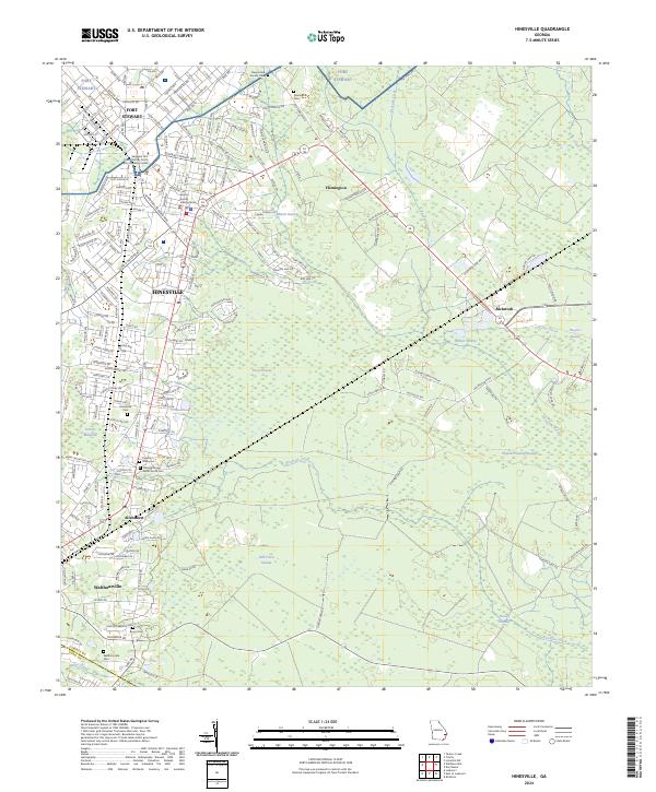 2024 Hinesville2024 Print · USGSCoastal Georgia's development and military presence are on full display in this detailed map of the Liberty County area. Family historians can trace local roots through several burial sites like Walthourville Cem and Cypress Slash Cem.
 - 2024 Map of Riceboro, 2024 Print
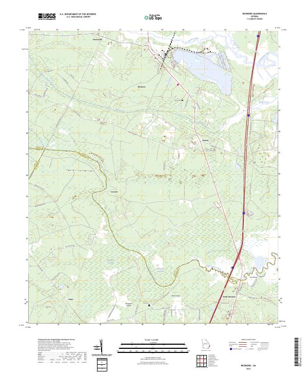 2024 Riceboro2024 Print · USGSCoastal Georgia in the 2020s is defined by its intricate river systems and historic settlements like Riceboro and Lecount. Researchers can trace family ties at Pando Cem or explore the geography of Big Mortar Swamp and Horsepen Island.
 - 2024 Map of Dorchester, 2024 Print
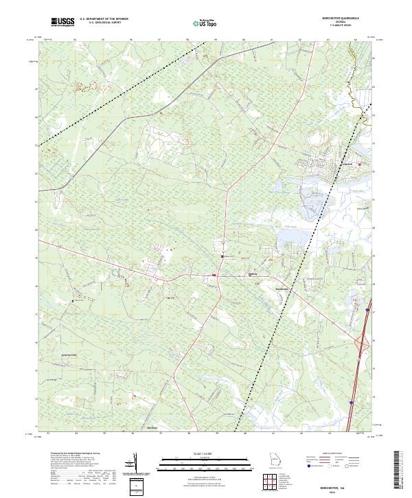 2024 Dorchester2024 Print · USGSThe coastal Georgia lowlands near Midway and Dorchester are documented in this recent survey. Genealogists can locate family sites near Midway Cem or trace the waterways of Peacock Creek and the Jerico River near Limerick.
End of results
Showing maps 1-20 of 20
Top cities near Riceboro
- Savannah historical maps
- Hinesville historical maps
- Richmond Hill historical maps
- Fort Stewart historical maps
- Walthourville historical maps
- Midway historical maps
See more
Top neighborhoods of Riceboro
Frequently asked questions
- What are the different types of historical maps available for Riceboro?
- What is the oldest map of Riceboro?
- Where can I purchase historical maps of Riceboro for my home or office?
- Where can I download high-res historical maps of Riceboro?
- Are there historical topographic maps available for Riceboro?
- Is there historical aerial imagery available for Riceboro?
- Where are historical maps of Riceboro sourced from?