2020s Maps of Walthourville, Georgia
Explore 4 historic maps of Walthourville from the 2020s. These maps offer a rare glimpse into what life looked like during the 2020s — showing old roads, neighborhoods, homes, and landmarks that have changed or disappeared over time.
Whether you're researching your family's past, planning a metal detecting trip, or studying how Walthourville's landscape evolved across the 2020s, these high-resolution maps are a powerful tool for exploring the history of this region.
- Focus on a specific era: All maps on this page are from the 2020s, giving you a focused view of this time period.
- See what’s changed: Compare century-old streets, trails, and buildings to today's modern landscape using overlays and satellite layers.
- Research with precision: Use these maps for genealogy, historical research, land use analysis, or educational projects.
- View, download, or print: Maps are fully viewable online in high resolution, and can be downloaded or printed for your own records.
Start exploring Walthourville's history through authentic maps from the 2020s. This is your window into the past.
Walthourville, GA maps
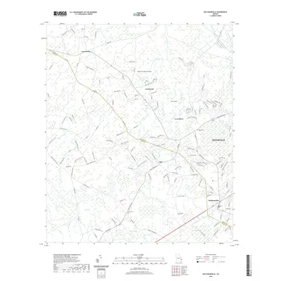
(4)- 2020 Map of Hinesville, 2020 Print
 2020 Hinesville2020 Print · USGSCovers Walthourville, including Hinesville, Fort Stewart, and other nearby areas
 - 2020 Map of Walthourville, 2020 Print
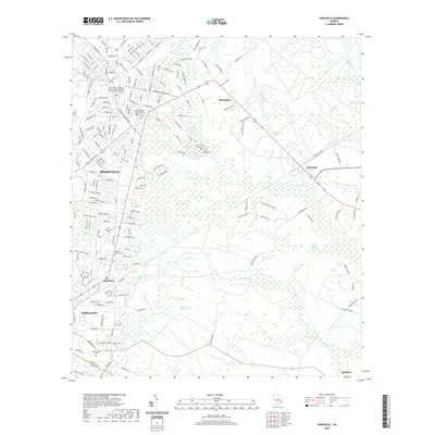
 2020 Walthourville2020 Print · USGSCovers Walthourville, including Hinesville, Gumbranch, and other nearby areas
 - 2024 Map of Walthourville, 2024 Print
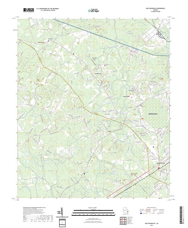 2024 Walthourville2024 Print · USGSLiberty and Long counties come together in this contemporary survey of the coastal plain. Genealogists can trace family names through the Liberty Baptist Church Cem and Barrett Cem or explore the rural hubs of Elim and Gum Branch.
 - 2024 Map of Hinesville, 2024 Print
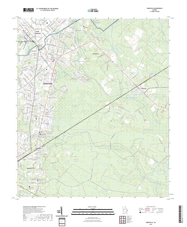 2024 Hinesville2024 Print · USGSCoastal Georgia's development and military presence are on full display in this detailed map of the Liberty County area. Family historians can trace local roots through several burial sites like Walthourville Cem and Cypress Slash Cem.
End of results
Showing maps 1-4 of 4
Top cities near Walthourville
- Hinesville historical maps
- Jesup historical maps
- Fort Stewart historical maps
- Ludowici historical maps
- Midway historical maps
- Riceboro historical maps
See more
Frequently asked questions
- What are the different types of historical maps available for Walthourville?
- What is the oldest map of Walthourville?
- Where can I purchase historical maps of Walthourville for my home or office?
- Where can I download high-res historical maps of Walthourville?
- Are there historical topographic maps available for Walthourville?
- Is there historical aerial imagery available for Walthourville?
- Where are historical maps of Walthourville sourced from?