Old Maps of Walthourville, Georgia for Genealogy
Trace your family roots with 21 historic maps of Walthourville. These high-res maps reveal old neighborhoods, homesites, landmarks, and streets — helping you uncover where your ancestors lived and how the area evolved over time.
- Explore historic neighborhoods: Identify where your relatives may have lived in the 1800s or 1900s.
- Compare maps over time: Trace the changes in streets, buildings, and landmarks for multi-generational research.
- Perfect for genealogy & ancestry research: Used by family historians and researchers to map out lineage and migration.
These maps are an incredible resource for exploring your personal connection to Walthourville's past.
Walthourville, GA maps
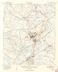
(21)- 1918 Map of Hinesville
 1918 Hinesville1918 Print · USGSCoastal Liberty County is seen here during World War I, when a network of swamp-skirting roads connected small farming hubs and rail depots. Family historians can trace the exact locations of many rural institutions, including the Liberty Campmeeting Ground, New Jerusalem Church, and Ways Millpond.4 unique versions available
 - 1944 Map of Hinesville, 1945 Print
 1944 Hinesville1945 Print · USGSLiberty County underwent a massive transition during the Second World War as military expansion met deep-rooted rural communities. Researchers can trace the layout of Camp Stewart alongside historic landmarks like the Liberty Campmeeting Ground and Providence Sch.
 - 1946 Map of Brunswick, 1948 Print
 1946 Brunswick1948 Print · USGSCoastal Georgia in the mid-forties reveals a landscape defined by the Camp Stewart Military Reservation and the sprawling barrier islands. Genealogists and historians can trace the rail-and-river network through inland towns like Ludowici and Jesup, or locate coastal landmarks like the St Simon Light.
 - 1948 Map of Brunswick
 1948 Brunswick1948 Print · USGSCoastal Georgia in the late 1940s is defined here by its labyrinthine barrier islands and the massive footprint of Camp Stewart. Genealogists and historians can trace the rail-tied growth of Jesup and Hinesville or locate coastal landmarks like St Simon Light.
 - 1950 Map of Hinesville
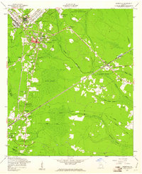
 1950 Hinesville1950 Print · USGSLiberty County was undergoing a major transformation at mid-century as the military footprint grew around Hinesville. Genealogists and historians can trace the foundations of this change through landmarks like Terrells Millpond, Providence School, and the Cypress Slash Cem.2 unique versions available
 - 1956 Map of Brunswick, 1968 Print
 1956 Brunswick1968 Print · USGSThe Georgia coast in the mid-twentieth century is a wild expanse of barrier islands and massive river deltas. You can trace the development of the maritime economy and military presence at Brunswick, or locate historic sites like Fort Frederica National Monument and Harris Neck National Wildlife Refuge.2 unique versions available
 - 1958 Map of Walthourville, 1961 Print
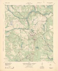
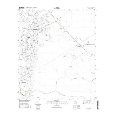
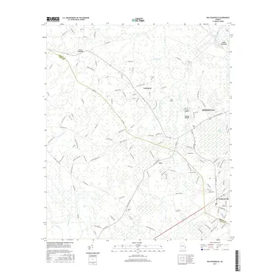
 1958 Walthourville1961 Print · USGSLiberty and Long Counties in the late fifties show the transition from rural farming communities to military land use. Genealogists and historians can locate old rural landmarks like Elim Ch, Wells Cem, and the waters of Terrells Millpond.2 unique versions available
 - 1958 Map of Hinesville, 1961 Print
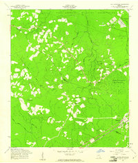
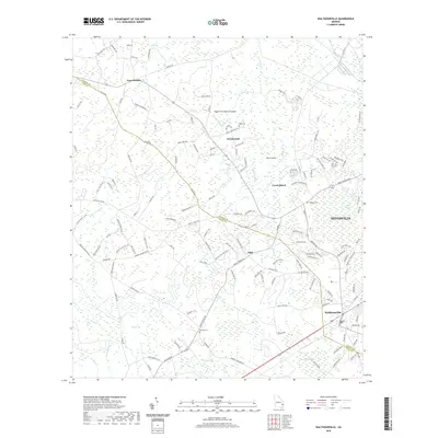
 1958 Hinesville1961 Print · USGSGeorgia's coastal plain south of Fort Stewart comes into focus in the late fifties, showing the area's transition between military expansion and deep-rooted rural settlements. Genealogists and historians can trace local family landmarks like Cypress Slash Cem, Walthourville, and Taylor Creek Ch.3 unique versions available
 - 1961 Map of Brunswick
 1961 Brunswick1961 Print · USGSThe Georgia coast at the start of the 1960s was a landscape of deep tidal marshes and growing military installations. Genealogists and historians can trace rail-linked towns like Limerick Station or explore coastal landmarks from Fort Frederica National Monument to Sapelo Island.
 - 1978 Map of Brunswick
 1978 Brunswick1978 Print · USGSThe Georgia coast and its barrier islands are captured in the late 1970s, as I-95 and the rail lines shaped the growth of coastal towns. Genealogists and historians can trace family locations across the islands or locate sites near Fort Stewart, Darien, and Ludowici.2 unique versions available
 - 1981 Map of Jesup, 1982 Print
 1981 Jesup1982 Print · USGSCoastal Georgia in the early eighties shows a landscape of expansive river deltas and military reservations stretching from the interior to the Atlantic. Genealogists and local historians can trace family locations near Jesup, the old port of Sunbury, or the tidal reaches of the Altamaha River.
 - 2011 Map of Hinesville, 2011 Print
 2011 Hinesville2011 Print · USGSCovers Walthourville, including Hinesville, Fort Stewart, and other nearby areas
 - 2011 Map of Walthourville, 2011 Print
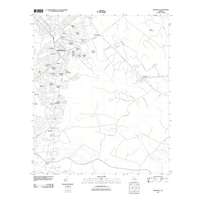
 2011 Walthourville2011 Print · USGSCovers Walthourville, including Hinesville, Gumbranch, and other nearby areas
 - 2014 Map of Hinesville, 2014 Print
 2014 Hinesville2014 Print · USGSCovers Walthourville, including Hinesville, Fort Stewart, and other nearby areas
 - 2014 Map of Walthourville, 2014 Print
 2014 Walthourville2014 Print · USGSCovers Walthourville, including Hinesville, Gumbranch, and other nearby areas
 - 2017 Map of Hinesville, 2017 Print
 2017 Hinesville2017 Print · USGSCovers Walthourville, including Hinesville, Fort Stewart, and other nearby areas
 - 2017 Map of Walthourville, 2017 Print
 2017 Walthourville2017 Print · USGSCovers Walthourville, including Hinesville, Gumbranch, and other nearby areas
 - 2020 Map of Hinesville, 2020 Print
 2020 Hinesville2020 Print · USGSCovers Walthourville, including Hinesville, Fort Stewart, and other nearby areas
 - 2020 Map of Walthourville, 2020 Print
 2020 Walthourville2020 Print · USGSCovers Walthourville, including Hinesville, Gumbranch, and other nearby areas
 - 2024 Map of Walthourville, 2024 Print
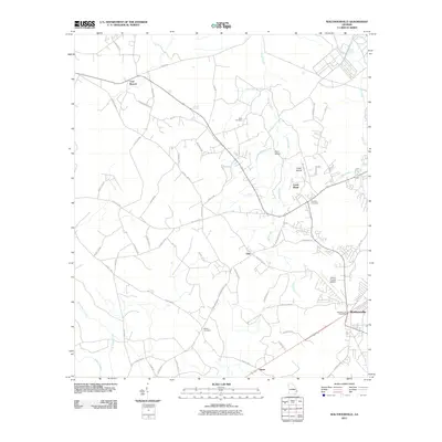
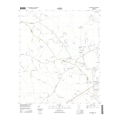
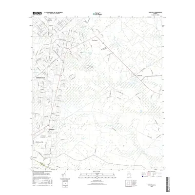
 2024 Walthourville2024 Print · USGSLiberty and Long counties come together in this contemporary survey of the coastal plain. Genealogists can trace family names through the Liberty Baptist Church Cem and Barrett Cem or explore the rural hubs of Elim and Gum Branch.
 - 2024 Map of Hinesville, 2024 Print
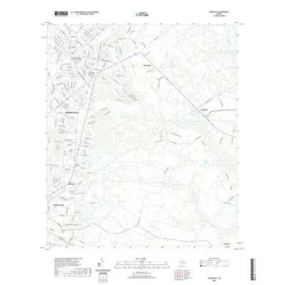
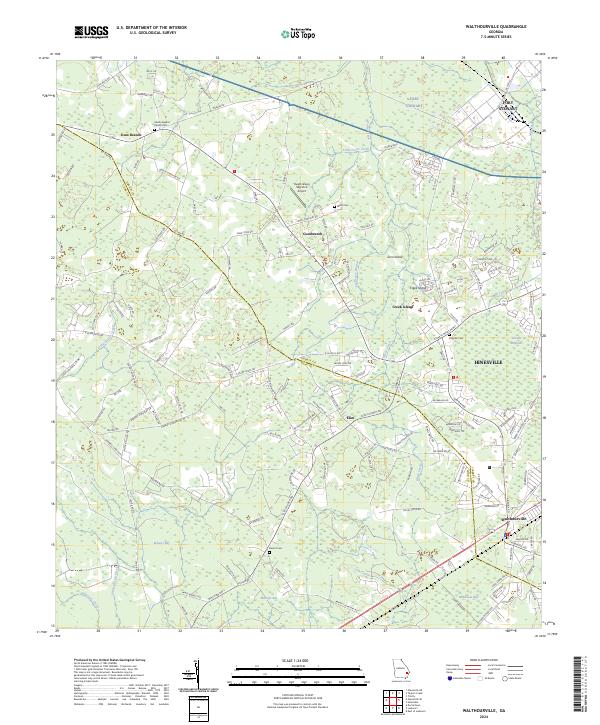
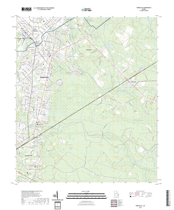 2024 Hinesville2024 Print · USGSCoastal Georgia's development and military presence are on full display in this detailed map of the Liberty County area. Family historians can trace local roots through several burial sites like Walthourville Cem and Cypress Slash Cem.
End of results
Showing maps 1-21 of 21
Top cities near Walthourville
- Hinesville historical maps
- Jesup historical maps
- Fort Stewart historical maps
- Ludowici historical maps
- Midway historical maps
- Riceboro historical maps
See more
Frequently asked questions
- What are the different types of historical maps available for Walthourville?
- What is the oldest map of Walthourville?
- Where can I purchase historical maps of Walthourville for my home or office?
- Where can I download high-res historical maps of Walthourville?
- Are there historical topographic maps available for Walthourville?
- Is there historical aerial imagery available for Walthourville?
- Where are historical maps of Walthourville sourced from?