2020s Maps of Lincoln County, Georgia
Explore 22 historic maps of Lincoln County from the 2020s. These maps offer a rare glimpse into what life looked like during the 2020s — showing old roads, neighborhoods, homes, and landmarks that have changed or disappeared over time.
Whether you're researching your family's past, planning a metal detecting trip, or studying how Lincoln County's landscape evolved across the 2020s, these high-resolution maps are a powerful tool for exploring the history of this region.
- Focus on a specific era: All maps on this page are from the 2020s, giving you a focused view of this time period.
- See what’s changed: Compare century-old streets, trails, and buildings to today's modern landscape using overlays and satellite layers.
- Research with precision: Use these maps for genealogy, historical research, land use analysis, or educational projects.
- View, download, or print: Maps are fully viewable online in high resolution, and can be downloaded or printed for your own records.
Start exploring Lincoln County's history through authentic maps from the 2020s. This is your window into the past.
Lincoln County, GA maps
(22)- 2020 Map of Clarks Hill, 2020 Print
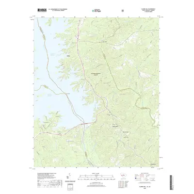 2020 Clarks Hill2020 Print · USGSCovers Lincoln County, including Modoc, Modoc Subdivision, and other nearby areas
 - 2020 Map of Parksville, 2020 Print
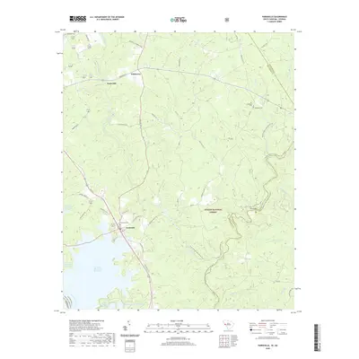 2020 Parksville2020 Print · USGSCovers Lincoln County, including Parksville, Parks Mill, and other nearby areas
 - 2020 Map of Plum Branch, 2020 Print
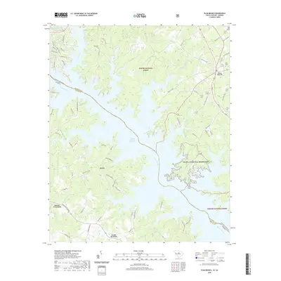 2020 Plum Branch2020 Print · USGSCovers Lincoln County, including Plum Branch, Little River Subdivision, and other nearby areas
 - 2020 Map of Willington, 2020 Print
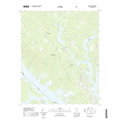 2020 Willington2020 Print · USGSCovers Lincoln County, including Bordeaux, Willington, and other nearby areas
 - 2020 Map of Broad, 2020 Print
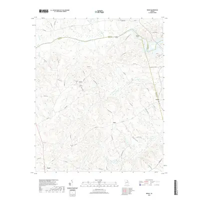 2020 Broad2020 Print · USGSCovers Lincoln County, including Tignall, Beulah, and other nearby areas
 - 2020 Map of Leah, 2020 Print
 2020 Leah2020 Print · USGSCovers Lincoln County, including Dunn Chapel, Bussey, and other nearby areas
 - 2020 Map of Aonia, 2020 Print
 2020 Aonia2020 Print · USGSCovers Lincoln County, including Oak Grove, Adasburg, and other nearby areas
 - 2020 Map of Woodlawn, 2020 Print
 2020 Woodlawn2020 Print · USGSCovers Lincoln County, including Amity, Winfield Hill, and other nearby areas
 - 2020 Map of Metasville, 2020 Print
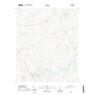
 2020 Metasville2020 Print · USGSCovers Lincoln County, including Goshen, Lovelace, and other nearby areas
 - 2020 Map of Chennault, 2020 Print
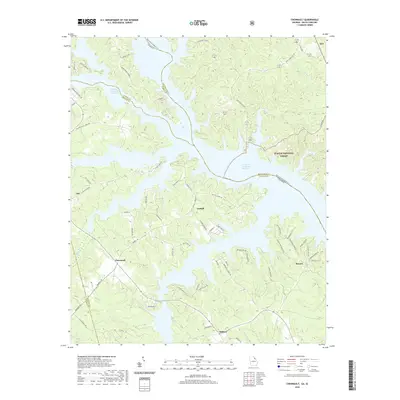 2020 Chennault2020 Print · USGSCovers Lincoln County, including Lisbon, Midway, and other nearby areas
 - 2020 Map of Lincolnton, 2020 Print
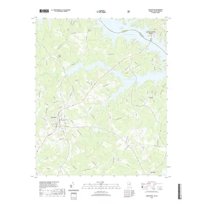 2020 Lincolnton2020 Print · USGSCovers Lincoln County, including Lincolnton, Leverett, and other nearby areas
 - 2024 Map of Aonia, 2024 Print
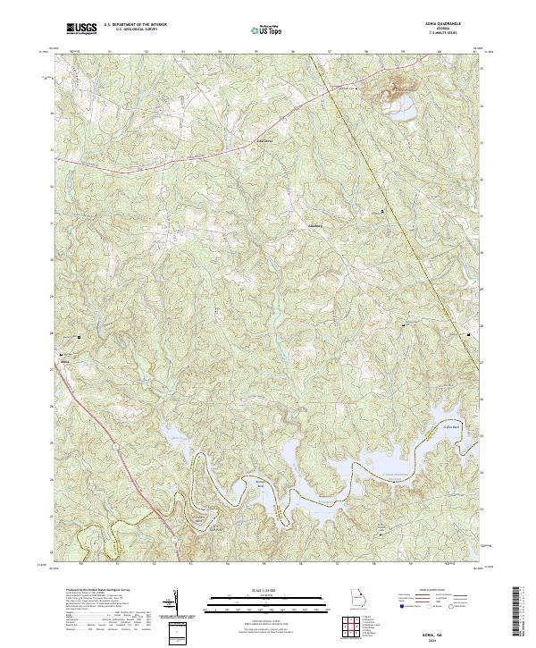 2024 Aonia2024 Print · USGSWilkes and Lincoln counties come into focus in this recent study of the rural Georgia landscape. Genealogists and historians can trace family land and local heritage through sites like Pierces Chapel, Ebenezer Cem, and the historic crossing at Fish Dam Ford.
 - 2024 Map of Woodlawn, 2024 Print
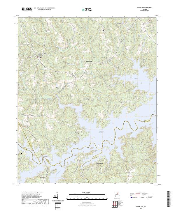 2024 Woodlawn2024 Print · USGSThe rural borderlands of Lincoln and Columbia counties meet here at the sprawling J. Strom Thurmond Reservoir. Researchers can trace the history of upland settlements like Leathersville and Amity or locate old family burial sites at Hogan Cem and Old Griffin Cem.
 - 2024 Map of Leah, 2024 Print
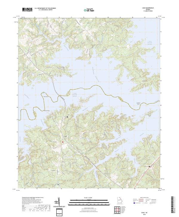 2024 Leah2024 Print · USGSThe borderlands of Columbia and Lincoln counties are defined by the expansive waters of the Savannah River basin. Researchers can trace historical river crossings like Price Ferry and locate family burial sites at Hardin Cem or Blanchard Cem.
 - 2024 Map of Broad, 2024 Print
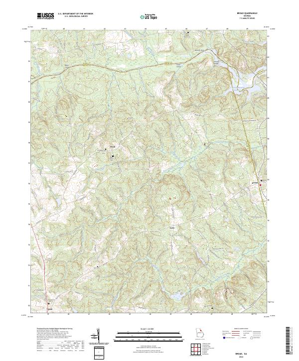 2024 Broad2024 Print · USGSThe Broad River valley along the Elbert and Wilkes county line appears here in its modern rural character. Genealogists can trace family heritage at Gades Chapel Baptist Cem and Popes Chapel Cem, or locate old river crossings at Bakers Ferry and Anthony Ferry.
 - 2024 Map of Metasville, 2024 Print
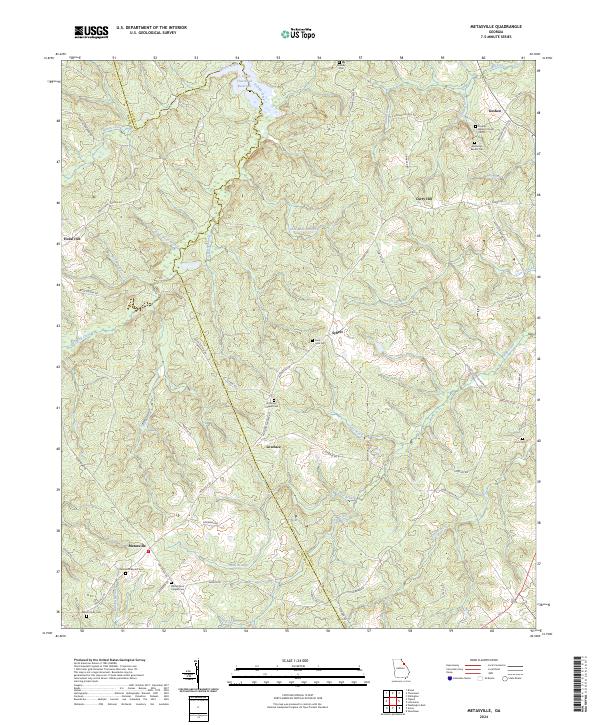 2024 Metasville2024 Print · USGSLincoln and Wilkes counties meet in this rural Georgia landscape where established communities and family-named roads define the terrain. Researchers can trace local lineage through sites like Goshen Baptist Church Cem, Sybert, and Washington Chapel Cem.
 - 2024 Map of Lincolnton, 2024 Print
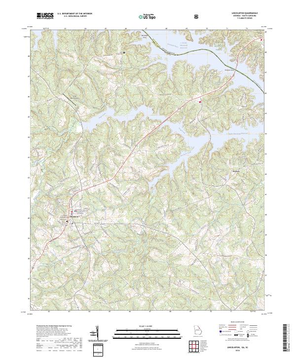 2024 Lincolnton2024 Print · USGSThe Georgia and South Carolina borderlands around the Savannah River are captured here in the contemporary era. Genealogists and local historians can locate the Lincoln County Courthouse, family burial sites at Smith Chapel Cem, and old river crossings at Barksdale Ferry.
 - 2024 Map of Chennault, 2024 Print
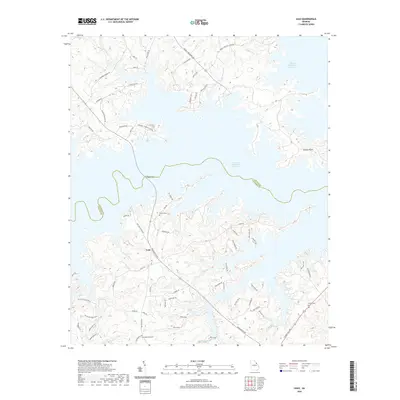
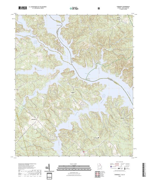 2024 Chennault2024 Print · USGSThe Savannah River borderlands in the 2020s remain defined by the massive reservoir that reshaped this valley. Genealogists and local historians can trace the legacy of old river crossings like Hesters Ferry and find community centers such as Chennault and the New Tabernacle Baptist Church.
 - 2024 Map of Willington, 2024 Print
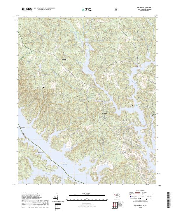 2024 Willington2024 Print · USGSThe South Carolina and Georgia borderlands near McCormick County are mapped here in their contemporary state, where the massive J. Strom Thurmond Reservoir meets the Sumter National Forest. Genealogists can locate family sites like the De La Howe Tomb Grave, Badwell Cem, and Holy Rock Church Graveyard.
 - 2024 Map of Clarks Hill, 2024 Print
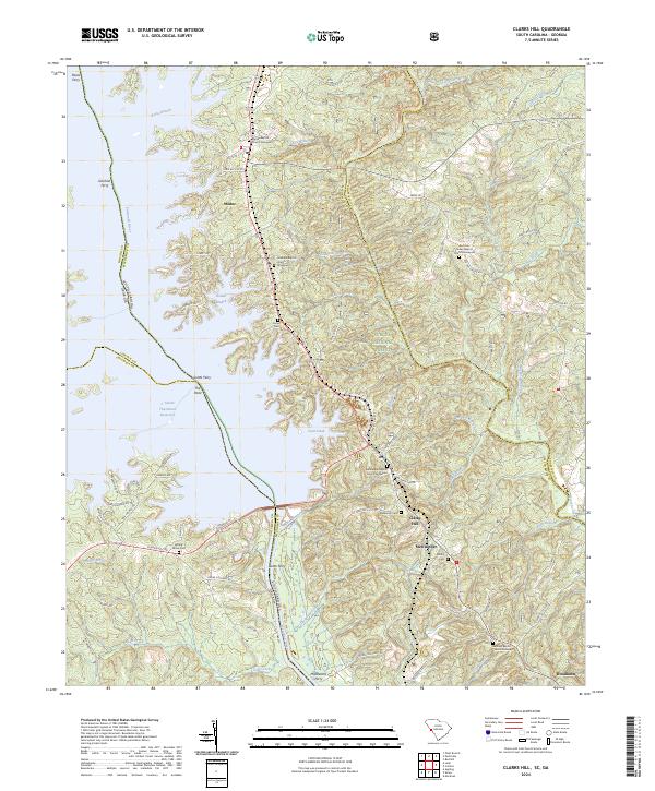 2024 Clarks Hill2024 Print · USGSThe Savannah River borderlands in South Carolina and Georgia are shown here as the modern landscape of the reservoir era. Genealogists can locate numerous rural churches and graveyards like Hosanna Baptist Church and Asbury Cem, or trace the legacy of river travel at Gilchrist Ferry.
 - 2024 Map of Parksville, 2024 Print
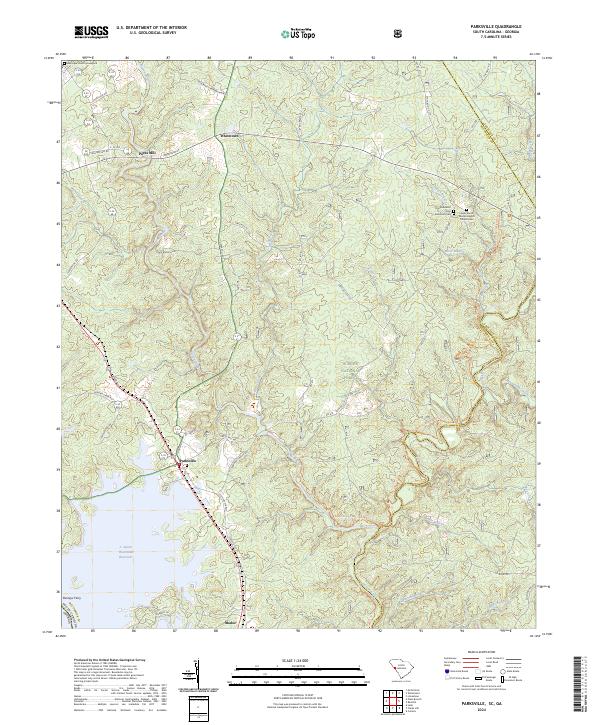 2024 Parksville2024 Print · USGSThe shorelines of the J. Strom Thurmond Reservoir and the timberlands of the Sumter National Forest meet in this recent survey of the McCormick County border. Genealogists can locate several historic burial grounds, including Old Rehoboth Cem and the Lower Mount Moriah Baptist Church Cem.
 - 2024 Map of Plum Branch, 2024 Print
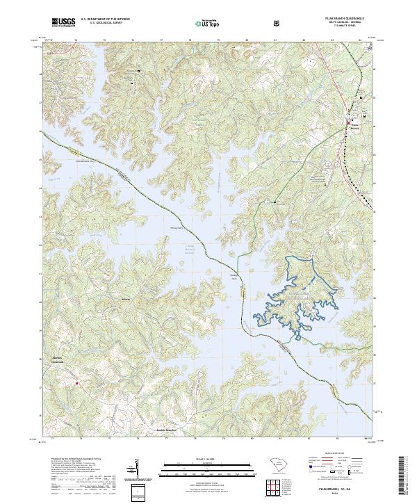 2024 Plum Branch2024 Print · USGSThe Savannah River and McCormick County shoreline appear in contemporary detail as they intersect with the J. Strom Thurmond Reservoir. Genealogists and local historians can trace legacy sites like Springfield A M E Church and McCoys Ferry.
End of results
Showing maps 1-22 of 22
Top cities of Lincoln County
Frequently asked questions
- What are the different types of historical maps available for Lincoln County?
- What is the oldest map of Lincoln County?
- Where can I purchase historical maps of Lincoln County for my home or office?
- Where can I download high-res historical maps of Lincoln County?
- Are there historical topographic maps available for Lincoln County?
- Is there historical aerial imagery available for Lincoln County?
- Where are historical maps of Lincoln County sourced from?