2020s Maps of Loganville, Georgia
Explore 4 historic maps of Loganville from the 2020s. These maps offer a rare glimpse into what life looked like during the 2020s — showing old roads, neighborhoods, homes, and landmarks that have changed or disappeared over time.
Whether you're researching your family's past, planning a metal detecting trip, or studying how Loganville's landscape evolved across the 2020s, these high-resolution maps are a powerful tool for exploring the history of this region.
- Focus on a specific era: All maps on this page are from the 2020s, giving you a focused view of this time period.
- See what’s changed: Compare century-old streets, trails, and buildings to today's modern landscape using overlays and satellite layers.
- Research with precision: Use these maps for genealogy, historical research, land use analysis, or educational projects.
- View, download, or print: Maps are fully viewable online in high resolution, and can be downloaded or printed for your own records.
Start exploring Loganville's history through authentic maps from the 2020s. This is your window into the past.
Loganville, GA maps
(4)- 2020 Map of Between, 2020 Print
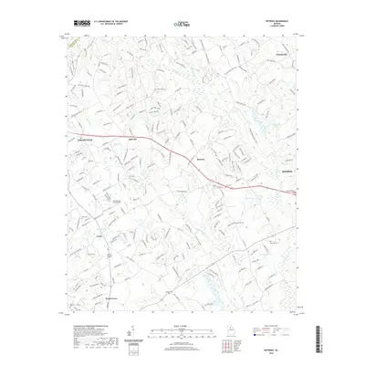 2020 Between2020 Print · USGSCovers Loganville, including Monroe, Walnut Grove, and other nearby areas
 - 2020 Map of Loganville, 2020 Print
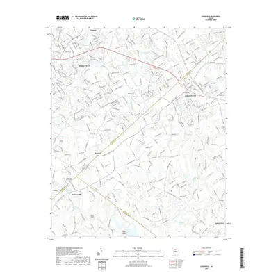 2020 Loganville2020 Print · USGSCovers Loganville, including Snellville, Grayson, and other nearby areas
 - 2024 Map of Between, 2024 Print
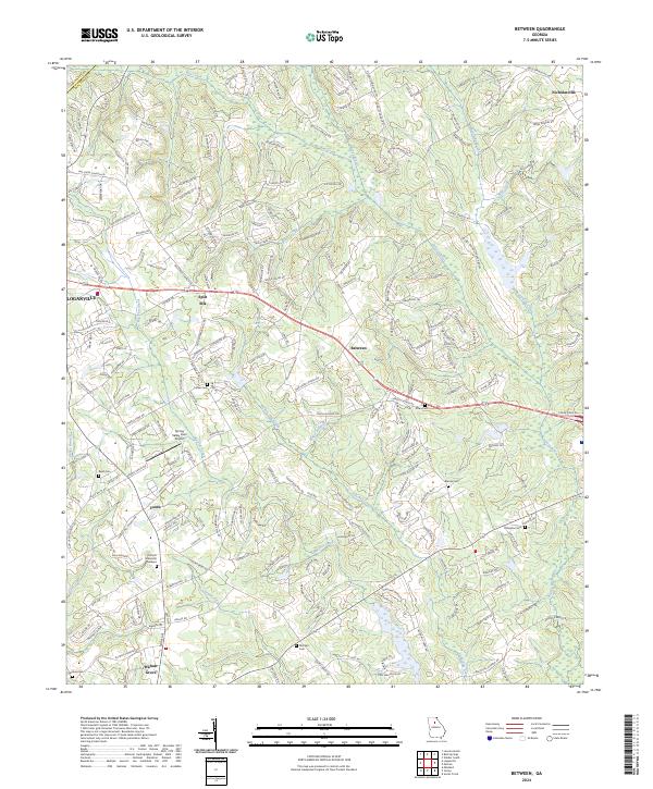 2024 Between2024 Print · USGSWalton County communities like Between and Youth are shown in this modern survey of central Georgia. Genealogists can locate several family burial grounds, including Tucker Cem and Jones Cem, or trace the rural crossroads at Split Silk.
 - 2024 Map of Loganville, 2024 Print
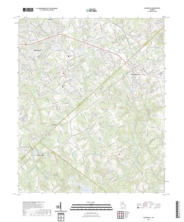 2024 Loganville2024 Print · USGSThe intersection of Gwinnett, Walton, and Rockdale Counties comes into focus in this contemporary study of the Loganville area. Researchers can trace historic family landmarks and local transit patterns through sites like McElroys Mill, Old Zion Cem, and Lenora Airport.
End of results
Showing maps 1-4 of 4
Top cities near Loganville
- Johns Creek historical maps
- Stonecrest historical maps
- Lawrenceville historical maps
- Duluth historical maps
- Snellville historical maps
- Suwanee historical maps
See more
Top neighborhoods of Loganville
Frequently asked questions
- What are the different types of historical maps available for Loganville?
- What is the oldest map of Loganville?
- Where can I purchase historical maps of Loganville for my home or office?
- Where can I download high-res historical maps of Loganville?
- Are there historical topographic maps available for Loganville?
- Is there historical aerial imagery available for Loganville?
- Where are historical maps of Loganville sourced from?