2000s (21st Century) Maps of Hahira, Georgia
Explore 20 historic maps of Hahira from the 2000s (21st Century). These maps offer a rare glimpse into what life looked like during the 2000s — showing old roads, neighborhoods, homes, and landmarks that have changed or disappeared over time.
Whether you're researching your family's past, planning a metal detecting trip, or studying how Hahira's landscape evolved across the 2000s, these high-resolution maps are a powerful tool for exploring the history of this region.
- Focus on a specific era: All maps on this page are from the 2000s, giving you a focused view of this time period.
- See what’s changed: Compare century-old streets, trails, and buildings to today's modern landscape using overlays and satellite layers.
- Research with precision: Use these maps for genealogy, historical research, land use analysis, or educational projects.
- View, download, or print: Maps are fully viewable online in high resolution, and can be downloaded or printed for your own records.
Start exploring Hahira's history through authentic maps from the 2000s. This is your window into the past.
Hahira, GA maps
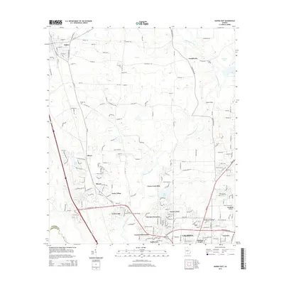
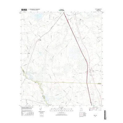
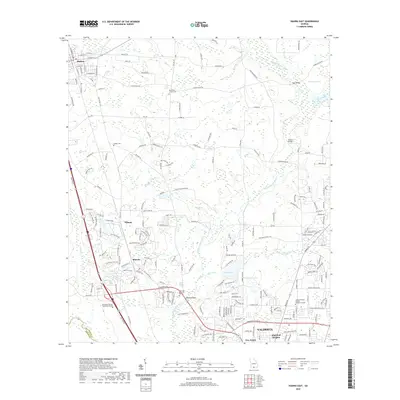
(20)- 2011 Map of Hahira East, 2011 Print
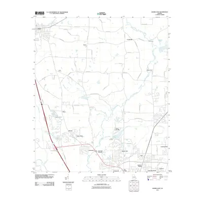 2011 Hahira East2011 Print · USGSCovers Hahira, including Valdosta, Franklinville, and other nearby areas
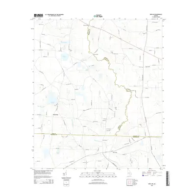
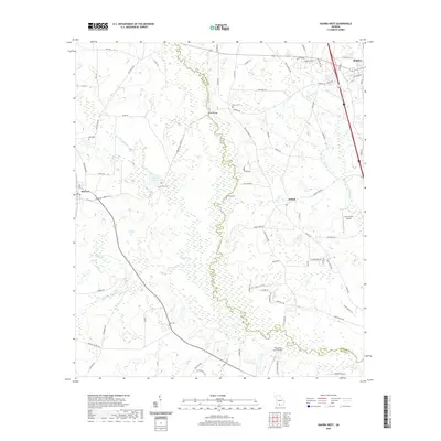
 - 2011 Map of Hahira West, 2011 Print
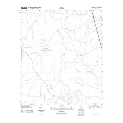 2011 Hahira West2011 Print · USGSCovers Hahira, including Morven, Shiloh, and other nearby areas
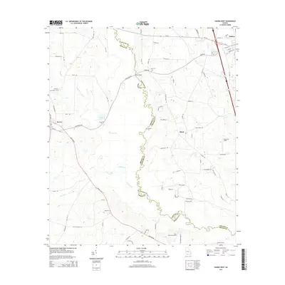
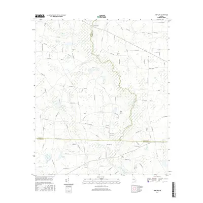
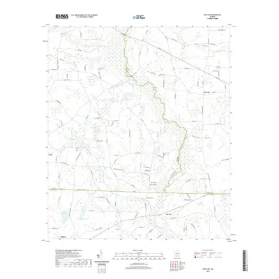
 - 2011 Map of New Lois, 2011 Print
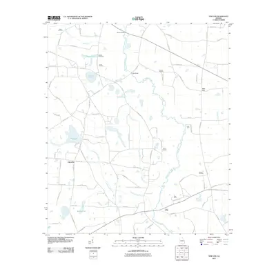 2011 New Lois2011 Print · USGSCovers Hahira, including Fellowship, New Lois, and other nearby areas
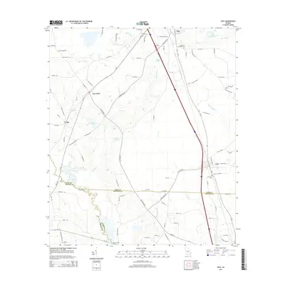
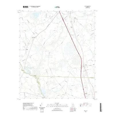
 - 2011 Map of Cecil, 2011 Print
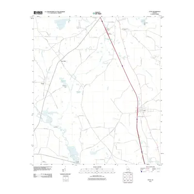 2011 Cecil2011 Print · USGSCovers Hahira, including Adel, Cecil, and other nearby areas
 - 2014 Map of Hahira East, 2014 Print
 2014 Hahira East2014 Print · USGSCovers Hahira, including Valdosta, Franklinville, and other nearby areas
 - 2014 Map of New Lois, 2014 Print
 2014 New Lois2014 Print · USGSCovers Hahira, including Fellowship, New Lois, and other nearby areas
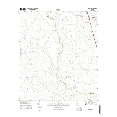
 - 2014 Map of Hahira West, 2014 Print
 2014 Hahira West2014 Print · USGSCovers Hahira, including Morven, Shiloh, and other nearby areas
 - 2014 Map of Cecil, 2014 Print
 2014 Cecil2014 Print · USGSCovers Hahira, including Adel, Cecil, and other nearby areas
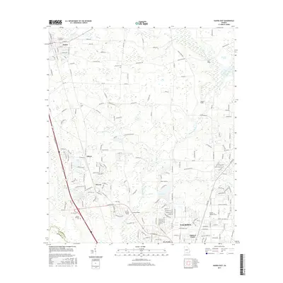
 - 2017 Map of Cecil, 2017 Print
 2017 Cecil2017 Print · USGSCovers Hahira, including Adel, Cecil, and other nearby areas
 - 2017 Map of New Lois, 2017 Print
 2017 New Lois2017 Print · USGSCovers Hahira, including Fellowship, New Lois, and other nearby areas
 - 2017 Map of Hahira West, 2017 Print
 2017 Hahira West2017 Print · USGSCovers Hahira, including Morven, Shiloh, and other nearby areas
 - 2017 Map of Hahira East, 2017 Print
 2017 Hahira East2017 Print · USGSCovers Hahira, including Valdosta, Franklinville, and other nearby areas
 - 2020 Map of Hahira East, 2020 Print
 2020 Hahira East2020 Print · USGSCovers Hahira, including Valdosta, Franklinville, and other nearby areas
 - 2020 Map of Hahira West, 2020 Print
 2020 Hahira West2020 Print · USGSCovers Hahira, including Morven, Shiloh, and other nearby areas
 - 2020 Map of Cecil, 2020 Print
 2020 Cecil2020 Print · USGSCovers Hahira, including Adel, Cecil, and other nearby areas
 - 2020 Map of New Lois, 2020 Print
 2020 New Lois2020 Print · USGSCovers Hahira, including Fellowship, New Lois, and other nearby areas
 - 2024 Map of New Lois, 2024 Print
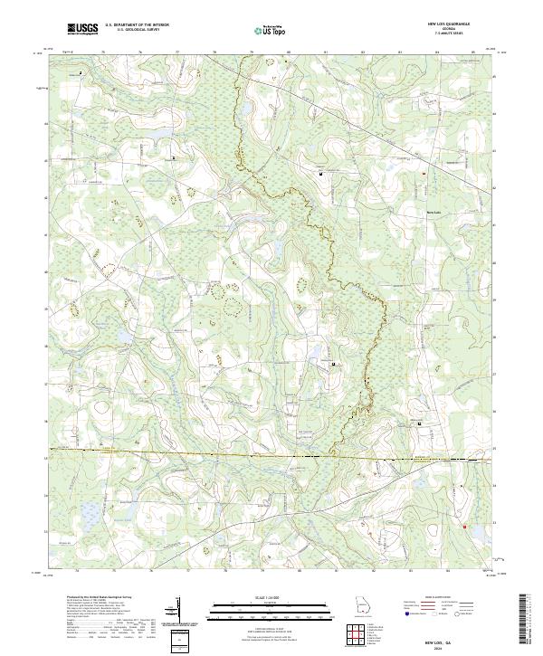 2024 New Lois2024 Print · USGSCoastal Plain wetlands and family farmsteads define this Georgia interior as it appeared in the early 2020s. Researchers can trace ancestral lines through numerous local burial sites like Wilkes Cem and Baskins Cem or follow the winding Withlacoochee River through the heart of the region.
 - 2024 Map of Hahira West, 2024 Print
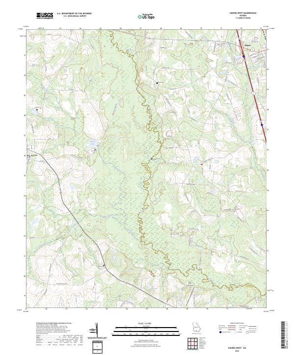 2024 Hahira West2024 Print · USGSCoastal plain farmland and timber tracts define the border between Brooks and Lowndes counties in this modern study. Genealogists can locate legacy sites like Corinth Cem and Rizer Cem tucked between Hahira and the Little River.
 - 2024 Map of Hahira East, 2024 Print
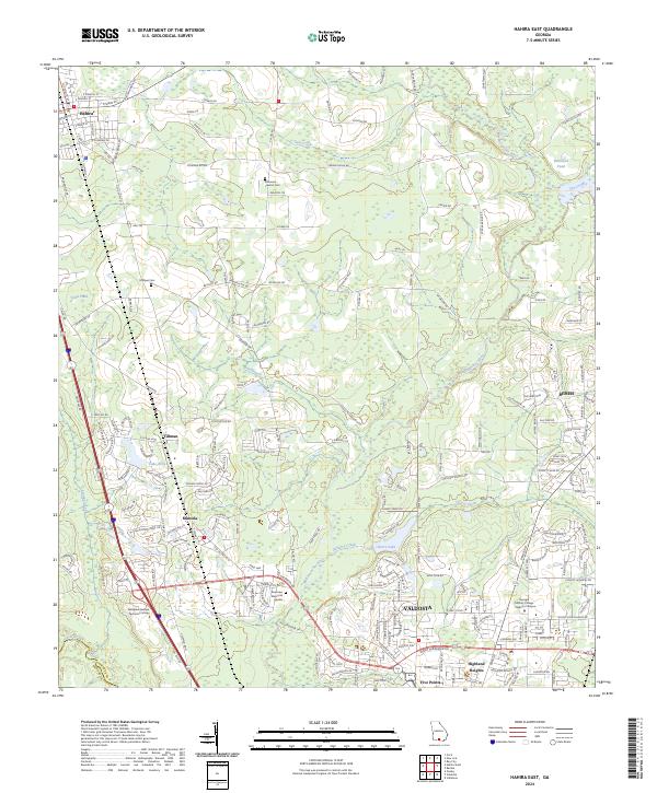 2024 Hahira East2024 Print · USGSNorthern Lowndes County shows its contemporary landscape as Valdosta expands toward Hahira in the 2020s. Researchers can locate family landmarks like Passmore - Lawson Cem and Hodges Cem or trace the winding Withlacoochee River.
 - 2024 Map of Cecil, 2024 Print
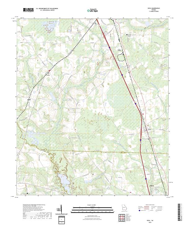 2024 Cecil2024 Print · USGSThe borderlands of Cook, Brooks, and Lowndes counties are captured in this recent survey of South Georgia. Researchers can trace rural lineages through sites like Gornto Cem, Jerusalem Cem, and the small settlements of Greggs and Pine Valley.
End of results
Showing maps 1-20 of 20
Top cities near Hahira
- Valdosta historical maps
- Adel historical maps
- Nashville historical maps
- Quitman historical maps
- Sparks historical maps
- Remerton historical maps
See more
Frequently asked questions
- What are the different types of historical maps available for Hahira?
- What is the oldest map of Hahira?
- Where can I purchase historical maps of Hahira for my home or office?
- Where can I download high-res historical maps of Hahira?
- Are there historical topographic maps available for Hahira?
- Is there historical aerial imagery available for Hahira?
- Where are historical maps of Hahira sourced from?