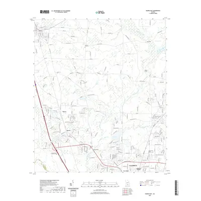
2020 Map of Hahira East
USGS Topo · Published 2020About this map
Hahira and the northern outskirts of Valdosta anchor this 2020 study of Lowndes County, where the sprawling Withlacoochee River and its tributaries carve a winding path through the Georgia landscape. The map details a mix of established residential corridors and institutional growth, including the Wiregrass Georgia Technical College and Georgia Military College - Valdosta Campus. Smaller named settlements like Tillman and Mineola sit west of the river, connected by a network of rural roads such as Franklinville Rd and Skipper Bridge Rd.
Find a feature on this map
196 named features on this map. Tap any name to fly to it.
Don’t see what you’re looking for? This feature index may not catch every label — zoom into the map to look around manually.
Map Details
Editions of this 2020 Hahira East Map
This is the sole edition of this map. No revisions or reprints were ever made.
Other maps of this area

1953 · Waycross
USGS Topo · 1:250,000

1954 · Valdosta
USGS Topo · 1:250,000

1958 · Valdosta
USGS Topo · 1:250,000

1958 · Waycross
USGS Topo · 1:250,000

1959 · Valdosta
USGS Topo · 1:250,000

1961 · Hahira East
USGS Topo · 1:24,000

1961 · Valdosta
USGS Topo · 1:24,000

1961 · Hahira West
USGS Topo · 1:24,000

1961 · Ousley
USGS Topo · 1:24,000

1971 · Indianola
USGS Topo · 1:24,000