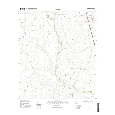
2017 Map of Hahira West
USGS Topo · Published 2017About this map
Little River winds southward through the center of this South Georgia landscape, serving as the primary boundary between Lowndes and Brooks counties. The town of Hahira occupies the northeast corner, while the community of Morven is situated to the west. This agricultural region is dotted with several family and community burial grounds, including Hall Cem, Corinth Cem, and Redding Cem, which offer significant value for genealogical research. The map also records the presence of aviation in this rural setting with Shilo Farms Airport and the Paso Fino Farm Airport. Several local creeks such as Slaughter Cr and Downing Cr feed into the river system, defining the drainage patterns of the area's timber and farm lands.
Find a feature on this map
79 named features on this map. Tap any name to fly to it.
Don’t see what you’re looking for? This feature index may not catch every label — zoom into the map to look around manually.
Map Details
Editions of this 2017 Hahira West Map
This is the sole edition of this map. No revisions or reprints were ever made.
Other maps of this area

1953 · Waycross
USGS Topo · 1:250,000

1954 · Valdosta
USGS Topo · 1:250,000

1958 · Valdosta
USGS Topo · 1:250,000

1958 · Waycross
USGS Topo · 1:250,000

1959 · Valdosta
USGS Topo · 1:250,000

1961 · Hahira East
USGS Topo · 1:24,000

1961 · Quitman
USGS Topo · 1:62,500

1961 · Valdosta
USGS Topo · 1:24,000

1961 · Hahira West
USGS Topo · 1:24,000

1961 · Ousley
USGS Topo · 1:24,000