2020s Maps of Valdosta, Georgia
Explore 8 historic maps of Valdosta from the 2020s. These maps offer a rare glimpse into what life looked like during the 2020s — showing old roads, neighborhoods, homes, and landmarks that have changed or disappeared over time.
Whether you're researching your family's past, planning a metal detecting trip, or studying how Valdosta's landscape evolved across the 2020s, these high-resolution maps are a powerful tool for exploring the history of this region.
- Focus on a specific era: All maps on this page are from the 2020s, giving you a focused view of this time period.
- See what’s changed: Compare century-old streets, trails, and buildings to today's modern landscape using overlays and satellite layers.
- Research with precision: Use these maps for genealogy, historical research, land use analysis, or educational projects.
- View, download, or print: Maps are fully viewable online in high resolution, and can be downloaded or printed for your own records.
Start exploring Valdosta's history through authentic maps from the 2020s. This is your window into the past.
Valdosta, GA maps
(8)- 2020 Map of Indianola, 2020 Print
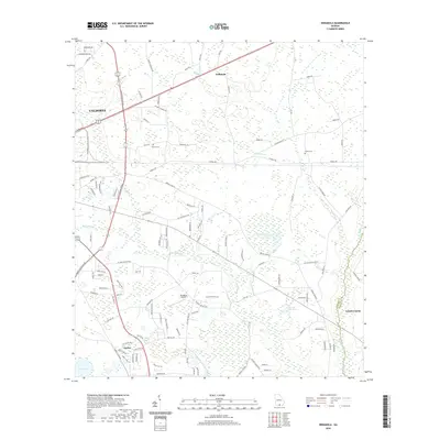 2020 Indianola2020 Print · USGSCovers Valdosta, including Dasher, Bandy, and other nearby areas
 - 2020 Map of Bemiss, 2020 Print
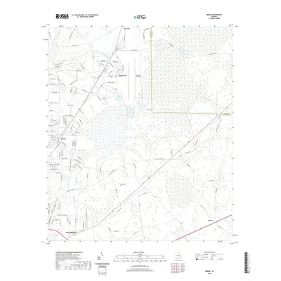 2020 Bemiss2020 Print · USGSCovers Valdosta, including Delmar, Academy Acres, and other nearby areas
 - 2020 Map of Hahira East, 2020 Print
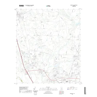 2020 Hahira East2020 Print · USGSCovers Valdosta, including Hahira, Franklinville, and other nearby areas
 - 2020 Map of Valdosta, 2020 Print
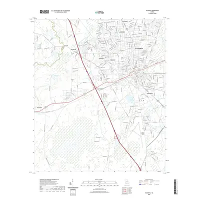 2020 Valdosta2020 Print · USGSCovers Valdosta, including Remerton, Kinderlou, and other nearby areas
 - 2024 Map of Indianola, 2024 Print
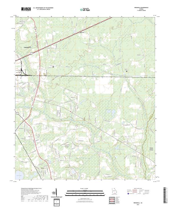 2024 Indianola2024 Print · USGSSoutheastern Georgia near the Florida border shows a landscape of growing communities and dense wetlands in the early twenty-first century. Researchers can trace family history at Thomas Cem, locate the small community of Dasher, and find landmarks like Loch Laurel.
 - 2024 Map of Valdosta, 2024 Print
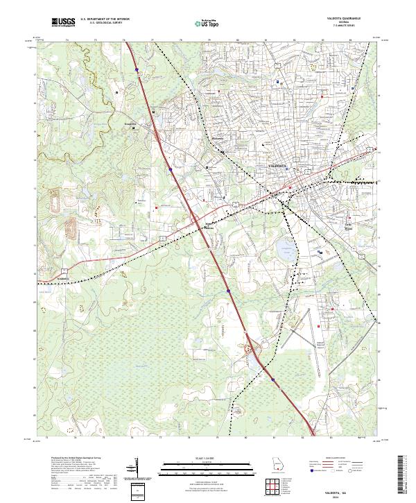 2024 Valdosta2024 Print · USGSValdosta and its surrounding Lowndes County landscape are shown here in the mid-2020s, centered on the historic seat and the university campus. Researchers can trace the legacy of early settlements at Troupville and locate local landmarks like Sunset Hill Cem and the Lowndes County Courthouse.
 - 2024 Map of Hahira East, 2024 Print
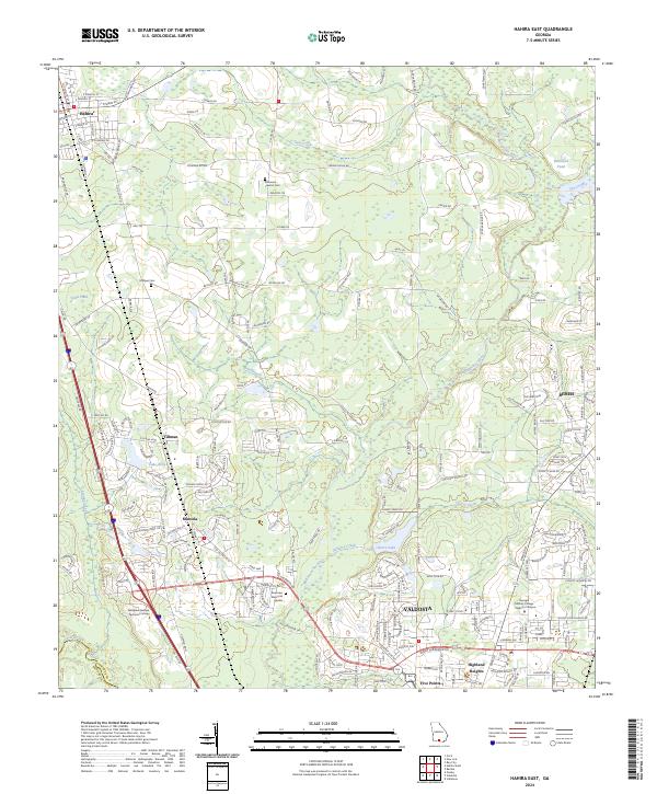 2024 Hahira East2024 Print · USGSNorthern Lowndes County shows its contemporary landscape as Valdosta expands toward Hahira in the 2020s. Researchers can locate family landmarks like Passmore - Lawson Cem and Hodges Cem or trace the winding Withlacoochee River.
 - 2024 Map of Bemiss, 2024 Print
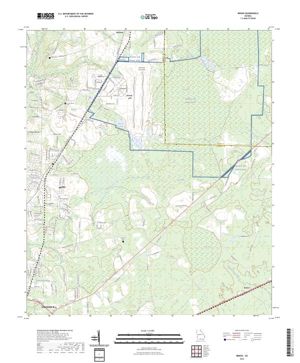 2024 Bemiss2024 Print · USGSThe northern reaches of Lowndes County are captured here in the early 2020s, centered on the strategic aviation hub at Moody Air Force Base. Genealogists can trace family landmarks and local burial sites like Hightower Cem, Antioch Cem, and the old settlement at Bemiss.
End of results
Showing maps 1-8 of 8
Top cities near Valdosta
- Lakeland historical maps
- Hahira historical maps
- Remerton historical maps
- Dasher historical maps
- Ray City historical maps
- Jennings historical maps
See more
Top neighborhoods of Valdosta
- Cherry Creek Hills historical maps
- Eastwind historical maps
- Charter Oaks historical maps
- Eager historical maps
- Five Points historical maps
- Wood Valley historical maps
See more
Frequently asked questions
- What are the different types of historical maps available for Valdosta?
- What is the oldest map of Valdosta?
- Where can I purchase historical maps of Valdosta for my home or office?
- Where can I download high-res historical maps of Valdosta?
- Are there historical topographic maps available for Valdosta?
- Is there historical aerial imagery available for Valdosta?
- Where are historical maps of Valdosta sourced from?