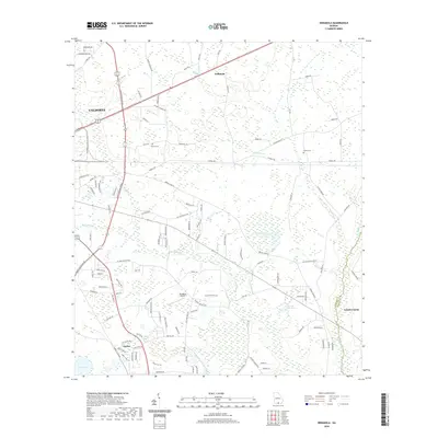
2020 Map of Indianola
USGS Topo · Published 2020About this map
The eastern edges of Valdosta transition into the low-lying wetlands and agricultural landscape of Lowndes County in this 2020 record. The terrain is defined by a complex drainage network, where Mud Swamp and Knights Cr converge south of the city, while the eastern portion of the map is dominated by the sprawling reaches of Otter Creek and Grand Bay Cr. The settlement of Indianola sits at a crossroads in the north, while the community of Dasher anchors the southwestern section near Loch Laurel.
Find a feature on this map
111 named features on this map. Tap any name to fly to it.
Don’t see what you’re looking for? This feature index may not catch every label — zoom into the map to look around manually.
Map Details
Editions of this 2020 Indianola Map
This is the sole edition of this map. No revisions or reprints were ever made.
Other maps of this area

1954 · Valdosta
USGS Topo · 1:250,000

1956 · Clyattville
USGS Topo · 1:24,000

1958 · Valdosta
USGS Topo · 1:250,000

1959 · Valdosta
USGS Topo · 1:250,000

1961 · Hahira East
USGS Topo · 1:24,000

1961 · Valdosta
USGS Topo · 1:24,000

1968 · Naylor
USGS Topo · 1:24,000

1971 · Indianola
USGS Topo · 1:24,000

1971 · Howell
USGS Topo · 1:24,000

1971 · Lake Park
USGS Topo · 1:24,000