Old Maps of Dahlonega, Georgia for Metal Detecting
Plan your next treasure hunt with 36 historic maps of Dahlonega. Find old homesites, ghost towns, trails, and gathering spots that may be lost to time — perfect for identifying promising metal detecting locations.
- Locate forgotten sites: Uncover places like long-lost settlements, abandoned rail lines, or gathering spots.
- Plan better hunts: Use map overlays combined with LiDAR or satellite views to narrow in on historically rich areas.
- Made for detectorists: Thousands of hobbyists use these maps to discover relics, coins, and hidden history.
Use these historic maps to boost your research and find new opportunities beneath the surface of Dahlonega.
Dahlonega, GA maps
(36)- 1886 Map of Dahlonega
 1886 Dahlonega1886 Print · USGSThe North Georgia mountains in the mid-1880s reveal a landscape of mining camps and early settlements before the modern era. Genealogists and historians can trace family-named landmarks like Helton's Field and Osbornes, or locate the Findley Mine and the Indian Mound.
 - 1888 Map of Ellijay
 1888 Ellijay1888 Print · USGSNorth Georgia in the late 1880s was a land of high peaks and emerging rail lines as the mountains were first being methodically surveyed. You can trace the Marietta and North Georgia Railroad through Blue Ridge and locate vanished stops like Vanzants Store or the rural community of Cherry Log.
 - 1891 Map of Gainesville
 1891 Gainesville1891 Print · USGSNorth Georgia in the early 1890s appears as a landscape of rail-junction towns and river-powered industry centered on Hall and Jackson Counties. Researchers can trace historic river crossings like Browns Bridge and Keiths Fy, or locate nineteenth-century landmarks such as Oconee Mills and Flowery Branch.5 unique versions available
 - 1892 Map of Dahlonega
 1892 Dahlonega1892 Print · USGSThe North Georgia mountains come alive in the late nineteenth century, showing the rugged terrain around the mining hub of Dahlonega. Genealogists and historians can trace family-named sites like Osbornes, find the elusive Gold Mine, and locate the Indian Mound.2 unique versions available
 - 1892 Map of Ellijay
 1892 Ellijay1892 Print · USGSNorth Georgia's mountain communities were primarily connected by river valleys and the winding Marietta and North Georgia Railroad in the late nineteenth century. Genealogists can trace early homesteads and centers of trade like Vanzant's Store, Mineral Bluff, and Cherry Log.
 - 1896 Map of Dahlonega
 1896 Dahlonega1896 Print · USGSThe Blue Ridge and North Georgia gold belt are shown here in the 1890s, when mining and mountain gaps defined local travel. Genealogists can trace family roots in Dahlonega, Porter Springs, and the Findley Mine or locate early settlements like Nacoochee.
 - 1898 Map of Ellijay
 1898 Ellijay1898 Print · USGSNorth Georgia’s mountain country is captured here in the late nineteenth century, showing the early development of Gilmer and Fannin counties. Genealogists can trace family homesteads near old river crossings like Centers Ferry and settlements such as Mineral Bluff and Whitepath.2 unique versions available
 - 1903 Map of Dahlonega
 1903 Dahlonega1903 Print · USGSNorth Georgia and the Blue Ridge were defined by mountain settlements and early industry at the turn of the century. Genealogists and historians can trace family locations across the Nacoochee Valley, locate the Asbestos Mines, or find old sites like Loudsville and Porter Springs.5 unique versions available
 - 1911 Map of Ellijay
 1911 Ellijay1911 Print · USGSNorth Georgia and the Tennessee border are captured here at the turn of the century, showing a mountain landscape of river ferries and early rail. Genealogists can locate family landmarks like Higdons Store, the Pisgah church, or crossings at Bakers Ferry and Shallow Ford.4 unique versions available
 - 1950 Map of Campbell Mtn, 1952 Print
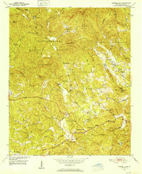 1950 Campbell Mtn1952 Print · USGSLumpkin County in the early fifties shows a mountain landscape transitioning between its mining heritage and reforestation. Researchers can trace family sites like Davis Chapel Cem, locate the historic Buckhorn Tavern, and identify the Barlow Mine (Inactive).6 unique versions available
 - 1951 Map of Dahlonega, 1953 Print
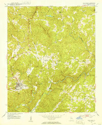 1951 Dahlonega1953 Print · USGSDahlonega and the southern Blue Ridge foothills are captured here in the early fifties, centered on the historic town and its namesake college. Local historians can trace family roots through numerous rural landmarks like Pecks Chapel, Dewey Sch, and the Chestatee River.3 unique versions available
 - 1954 Map of Greenville, 1965 Print
 1954 Greenville1965 Print · USGSThe Upstate and Northeast Georgia are captured here during a decade of massive transformation as new reservoirs reshaped the Piedmont. Genealogists and hikers can trace the Appalachian Trail over Brasstown Bald or locate old community centers like Demorest, Westminster, and Royston.3 unique versions available
 - 1955 Map of Rome
 1955 Rome1955 Print · USGSThe tri-state borderlands of Georgia, Alabama, and Tennessee appear in the mid-fifties as a landscape of ridge-and-valley industry and river navigation. Genealogists can trace family footprints near Chattanooga, the iron works of Gadsden, and textile towns like Trion or Summerville.
 - 1958 Map of Greenville
 1958 Greenville1958 Print · USGSThe Piedmont and Blue Ridge foothills come alive in this mid-century survey of the Upstate and Northeast Georgia. Trace the regional rail-and-river economy through the Southern Railway corridors and early reservoir developments like Lake Sidney Lanier.
 - 1958 Map of Rome, 1966 Print
 1958 Rome1966 Print · USGSNorthwest Georgia and neighboring Tennessee and Alabama are captured here in the late fifties, showcasing a landscape of high ridges and river valleys. Researchers can trace historic rail lines like the Seaboard Air Line RR and explore the bounds of Cloudland Canyon State Park or Fort Oglethorpe.3 unique versions available
 - 1961 Map of Rome
 1961 Rome1961 Print · USGSNorthwest Georgia and neighboring Tennessee and Alabama are shown here at a moment of significant mid-century growth. Researchers can trace the rail networks of the Central of Georgia or locate landmarks within Chickamauga and Chattanooga Nat Military Park.
 - 1963 Map of Rome
 1963 Rome1963 Print · USGSThe tri-state corner of Georgia, Alabama, and Tennessee is captured here during a period of massive reservoir expansion and post-war growth. Genealogists and historians can trace the rail corridors of the Southern Ry or locate landmarks like Fort Oglethorpe and Cloudland Canyon State Park.
 - 1964 Map of Murrayville, 1965 Print
 1964 Murrayville1965 Print · USGSUpper Georgia’s river valleys were undergoing a major transformation in the mid-sixties as the newly formed Lake Sidney Lanier reshaped the terrain. Genealogists and local historians can trace family-named sites like the Calhoun Gold Mine, Soules Chapel, and Yellow Creek Cem.4 unique versions available
 - 1979 Map of Commerce, 1980 Print
 1979 Commerce1980 Print · USGSThe Georgia and South Carolina Piedmont reached a period of significant regional growth in the late seventies. Genealogists and historians can trace family roots through locations like Blackberry Church, Old Pioneer Cem, and the Gillsville Sch.2 unique versions available
 - 1981 Map of Dalton, 1982 Print
 1981 Dalton1982 Print · USGSNorth Georgia and the tristate borderlands are captured in the early eighties as the textile economy of Dalton thrived alongside the expanding Chattahoochee National Forest. Genealogists and hikers can trace the Appalachian Trail through the high country or locate family-named landmarks like Haskins Mill and Carters Mill.
 - 1981 Map of Toccoa, 1982 Print
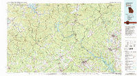 1981 Toccoa1982 Print · USGSThe tri-state mountain region where Georgia meets the Carolinas is shown here in the early eighties. Genealogists and historians can trace family-named locations and settlements from Dahlonega to Tallulah Falls, along with the Southern rail corridor.2 unique versions available
 - 2011 Map of Murrayville, 2011 Print
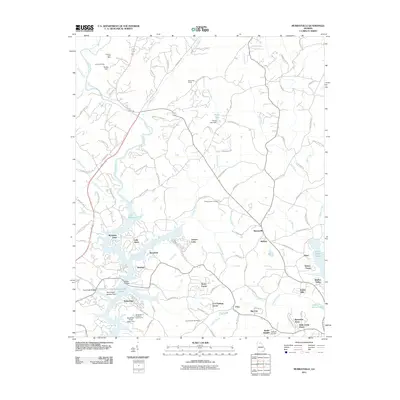 2011 Murrayville2011 Print · USGSLumpkin County at the start of the 2010s shows a landscape shaped by the waters of the Lake Sidney Lanier reservoir and a long history of gold mining. Local historians can trace family sites near Yellow Creek Cemetery or locate old operations like the Calhoun Gold Mine and Turkey Hill Mine.
 - 2011 Map of Campbell Mountain, 2011 Print
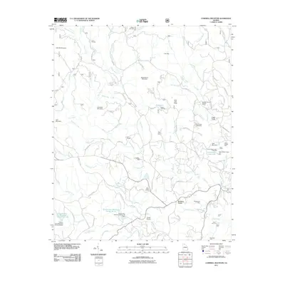 2011 Campbell Mountain2011 Print · USGSIn the Georgia foothills near Dahlonega, this early 21st-century survey reveals a landscape shaped by both the gold mining era and rural community life. Researchers can locate the Barlow Mine, trace family history at Davis Chapel Cemetery, and identify landmarks like Buckhorn Tavern or Camp Wahsega.
 - 2011 Map of Dahlonega, 2011 Print
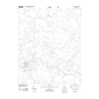 2011 Dahlonega2011 Print · USGSDahlonega and its surrounding gold-bearing ridges are shown in detail during the early twenty-first century. Researchers can trace a legacy of mining through labels for the Consolidated Mine, Findley Ridge, and the Chestatee Mine.
 - 2014 Map of Murrayville, 2014 Print
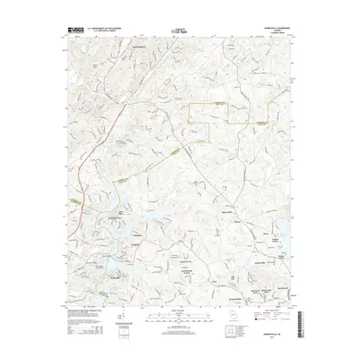 2014 Murrayville2014 Print · USGSThe foothills of the Georgia Piedmont meet the expansive waters of Lake Sidney Lanier in the early 21st century. Trace local family roots and community nodes at Yellow Creek Cem, Murrayville, and Mount Olive Church.
Showing maps 1-25 of 36
Top cities near Dahlonega
- Gainesville historical maps
- Cleveland historical maps
- Dawsonville historical maps
- Clermont historical maps
Frequently asked questions
- What are the different types of historical maps available for Dahlonega?
- What is the oldest map of Dahlonega?
- Where can I purchase historical maps of Dahlonega for my home or office?
- Where can I download high-res historical maps of Dahlonega?
- Are there historical topographic maps available for Dahlonega?
- Is there historical aerial imagery available for Dahlonega?
- Where are historical maps of Dahlonega sourced from?