2000s (21st Century) Maps of Dahlonega, Georgia
Explore 15 historic maps of Dahlonega from the 2000s (21st Century). These maps offer a rare glimpse into what life looked like during the 2000s — showing old roads, neighborhoods, homes, and landmarks that have changed or disappeared over time.
Whether you're researching your family's past, planning a metal detecting trip, or studying how Dahlonega's landscape evolved across the 2000s, these high-resolution maps are a powerful tool for exploring the history of this region.
- Focus on a specific era: All maps on this page are from the 2000s, giving you a focused view of this time period.
- See what’s changed: Compare century-old streets, trails, and buildings to today's modern landscape using overlays and satellite layers.
- Research with precision: Use these maps for genealogy, historical research, land use analysis, or educational projects.
- View, download, or print: Maps are fully viewable online in high resolution, and can be downloaded or printed for your own records.
Start exploring Dahlonega's history through authentic maps from the 2000s. This is your window into the past.
Dahlonega, GA maps
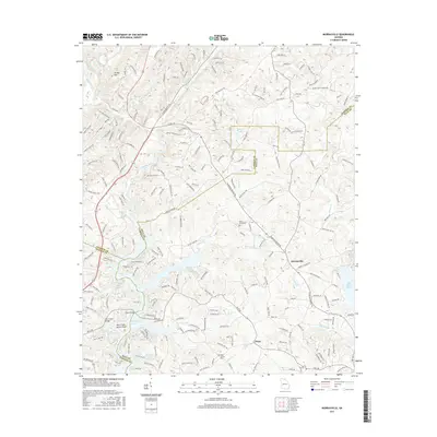
(15)- 2011 Map of Murrayville, 2011 Print
 2011 Murrayville2011 Print · USGSCovers Dahlonega, including Indian Hills, Wahoo Valley, and other nearby areas
 - 2011 Map of Campbell Mountain, 2011 Print
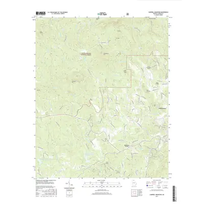
 2011 Campbell Mountain2011 Print · USGSCovers Dahlonega, including Cane Creek, Buckhorn Tavern, and other nearby areas
 - 2011 Map of Dahlonega, 2011 Print
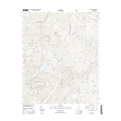
 2011 Dahlonega2011 Print · USGSCovers Dahlonega, including Lumpkin County, White County, and other nearby areas
 - 2014 Map of Murrayville, 2014 Print
 2014 Murrayville2014 Print · USGSCovers Dahlonega, including Indian Hills, Wahoo Valley, and other nearby areas
 - 2014 Map of Campbell Mountain, 2014 Print
 2014 Campbell Mountain2014 Print · USGSCovers Dahlonega, including Cane Creek, Buckhorn Tavern, and other nearby areas
 - 2014 Map of Dahlonega, 2014 Print
 2014 Dahlonega2014 Print · USGSCovers Dahlonega, including Lumpkin County, White County, and other nearby areas
 - 2017 Map of Campbell Mountain, 2017 Print
 2017 Campbell Mountain2017 Print · USGSCovers Dahlonega, including Cane Creek, Buckhorn Tavern, and other nearby areas
 - 2017 Map of Murrayville, 2017 Print
 2017 Murrayville2017 Print · USGSCovers Dahlonega, including Indian Hills, Wahoo Valley, and other nearby areas
 - 2017 Map of Dahlonega, 2017 Print
 2017 Dahlonega2017 Print · USGSCovers Dahlonega, including Lumpkin County, White County, and other nearby areas
 - 2020 Map of Murrayville, 2020 Print
 2020 Murrayville2020 Print · USGSCovers Dahlonega, including Indian Hills, Wahoo Valley, and other nearby areas
 - 2020 Map of Campbell Mountain, 2020 Print
 2020 Campbell Mountain2020 Print · USGSCovers Dahlonega, including Cane Creek, Buckhorn Tavern, and other nearby areas
 - 2020 Map of Dahlonega, 2020 Print
 2020 Dahlonega2020 Print · USGSCovers Dahlonega, including Lumpkin County, White County, and other nearby areas
 - 2024 Map of Murrayville, 2024 Print
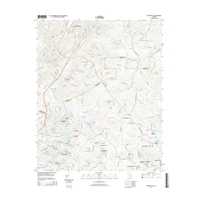
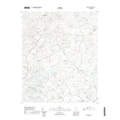
 2024 Murrayville2024 Print · USGSThe foothills of North Georgia come alive in this survey of the river valleys where Lumpkin and Hall counties meet. Genealogists and historians can trace old family roots through Yellow Creek Baptist Church Cem or locate historic river crossings at Wilkie Ford.
 - 2024 Map of Dahlonega, 2024 Print
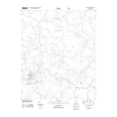
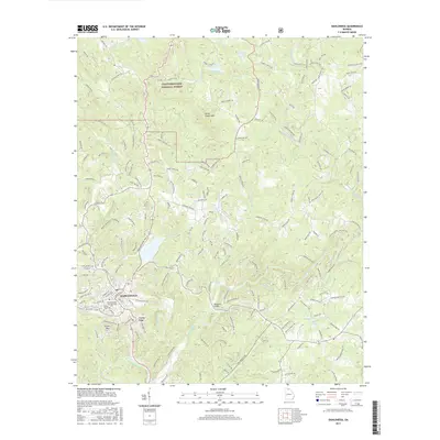
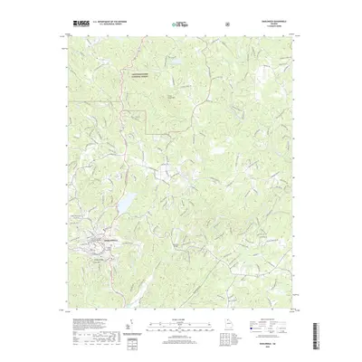
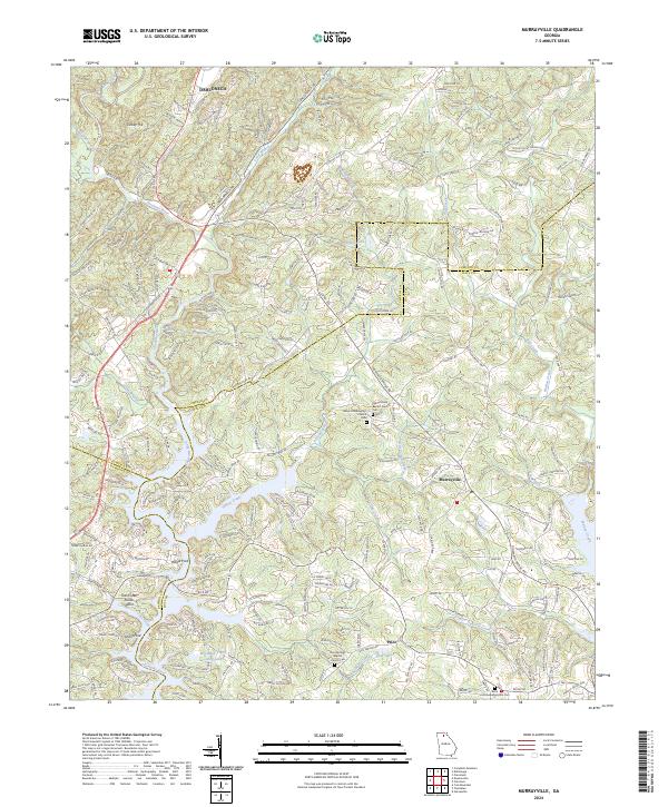
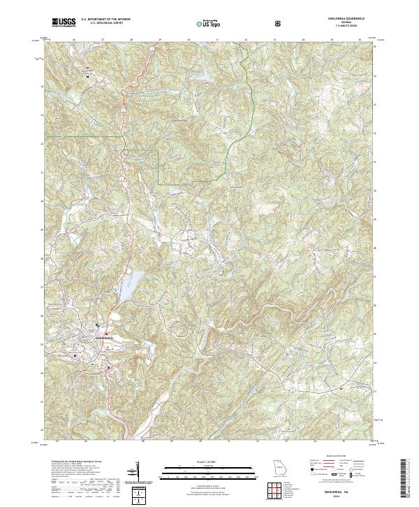 2024 Dahlonega2024 Print · USGSThe mountain landscape around modern Dahlonega is captured here, showing the city's growth alongside its gold-mining heritage. Genealogists and researchers can trace local family landmarks like Mount Hope Cem and Yahoola Baptist Church Cem.
 - 2024 Map of Campbell Mountain, 2024 Print
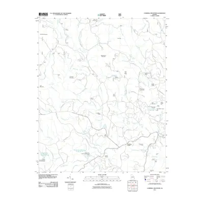
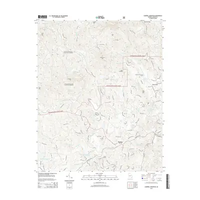
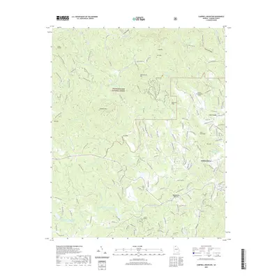
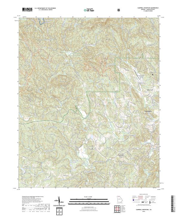 2024 Campbell Mountain2024 Print · USGSLumpkin County in the early twenty-first century remains a landscape of mountain ridges and deep river valleys anchored by the Chattahoochee National Forest. Genealogists and historians can trace local landmarks like Buckhorn Tavern, the Lumpkin County-Wimpy's Cemetery, and Salem Baptist Church.
End of results
Showing maps 1-15 of 15
Top cities near Dahlonega
- Gainesville historical maps
- Cleveland historical maps
- Dawsonville historical maps
- Clermont historical maps
Frequently asked questions
- What are the different types of historical maps available for Dahlonega?
- What is the oldest map of Dahlonega?
- Where can I purchase historical maps of Dahlonega for my home or office?
- Where can I download high-res historical maps of Dahlonega?
- Are there historical topographic maps available for Dahlonega?
- Is there historical aerial imagery available for Dahlonega?
- Where are historical maps of Dahlonega sourced from?