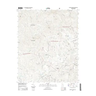
2014 Map of Campbell Mountain
USGS Topo · Published 2014About this map
The Etowah River and its numerous tributaries, including Jones Cr and Nimblewill Cr, define the drainage patterns of this mountain landscape. Much of the northern and western terrain is managed as part of the Chattahoochee National Forest, where peaks like Whissenhunt Mtn and Little Sal Mtn rise above the deep creek valleys. In the more developed southeast, the settlement of Cane Creek and landmarks such as the Lumpkin County-Wimpys Airport reflect the area's modern footprint.
Find a feature on this map
143 named features on this map. Tap any name to fly to it.
Don’t see what you’re looking for? This feature index may not catch every label — zoom into the map to look around manually.
Map Details
Editions of this 2014 Campbell Mountain Map
This is the sole edition of this map. No revisions or reprints were ever made.
Other maps of this area

1886 · Dahlonega
USGS Topo · 1:125,000

1888 · Ellijay
USGS Topo · 1:125,000

1890 · Suwanee
USGS Topo · 1:125,000

1891 · Gainesville
USGS Topo · 1:125,000

1892 · Dahlonega
USGS Topo · 1:125,000

1892 · Ellijay
USGS Topo · 1:125,000

1894 · Suwanee
USGS Topo · 1:125,000

1896 · Dahlonega
USGS Topo · 1:125,000

1898 · Ellijay
USGS Topo · 1:125,000

1903 · Dahlonega
USGS Topo · 1:125,000