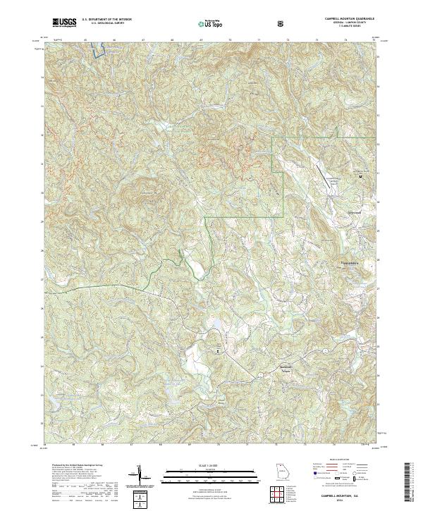
2024 Map of Campbell Mountain
USGS Topo · Published 2024About this map
Camp Frank D Merrill and the surrounding wilderness of the Chattahoochee National Forest dominate this landscape, where the Etowah River carves its way through the Blue Ridge foothills. The area is defined by its numerous watercourses, from the rocky descent at Chuck Shoals to the winding paths of Nimblewill Creek and Cane Creek. These waterways historically dictated the placement of early settlements and family landmarks such as Buckhorn Tavern and Whissenhunt Mtn.
Find a feature on this map
161 named features on this map. Tap any name to fly to it.
Don’t see what you’re looking for? This feature index may not catch every label — zoom into the map to look around manually.
Map Details
Editions of this 2024 Campbell Mountain Map
This is the sole edition of this map. No revisions or reprints were ever made.
Other maps of this area

1886 · Dahlonega
USGS Topo · 1:125,000

1888 · Ellijay
USGS Topo · 1:125,000

1890 · Suwanee
USGS Topo · 1:125,000

1891 · Gainesville
USGS Topo · 1:125,000

1892 · Dahlonega
USGS Topo · 1:125,000

1892 · Ellijay
USGS Topo · 1:125,000

1894 · Suwanee
USGS Topo · 1:125,000

1896 · Dahlonega
USGS Topo · 1:125,000

1898 · Ellijay
USGS Topo · 1:125,000

1903 · Dahlonega
USGS Topo · 1:125,000