2000s (21st Century) Maps of Macon County, Georgia
Explore 80 historic maps of Macon County from the 2000s (21st Century). These maps offer a rare glimpse into what life looked like during the 2000s — showing old roads, neighborhoods, homes, and landmarks that have changed or disappeared over time.
Whether you're researching your family's past, planning a metal detecting trip, or studying how Macon County's landscape evolved across the 2000s, these high-resolution maps are a powerful tool for exploring the history of this region.
- Focus on a specific era: All maps on this page are from the 2000s, giving you a focused view of this time period.
- See what’s changed: Compare century-old streets, trails, and buildings to today's modern landscape using overlays and satellite layers.
- Research with precision: Use these maps for genealogy, historical research, land use analysis, or educational projects.
- View, download, or print: Maps are fully viewable online in high resolution, and can be downloaded or printed for your own records.
Start exploring Macon County's history through authentic maps from the 2000s. This is your window into the past.
Macon County, GA maps
(80)- 2011 Map of Andersonville, 2011 Print
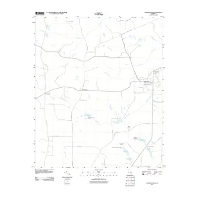 2011 Andersonville2011 Print · USGSAndersonville and the surrounding Sumter County landscape are shown in this 2011 survey, reflecting a region deeply tied to its historical landmarks. Genealogists and researchers can trace local family-named sites such as Wohlwender Lake, Mount Olive Cemetery, and the Andersonville National Cemetery.
 - 2011 Map of Garden Valley, 2011 Print
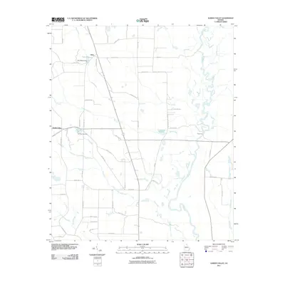 2011 Garden Valley2011 Print · USGSThe Flint River bottomlands and the quiet settlement of Garden Valley are captured here in the early twenty-first century. Researchers can trace the legacy of local water power at Hicks Millpond or locate the historic crossing at Miona Ferry.
 - 2011 Map of Butler East, 2011 Print
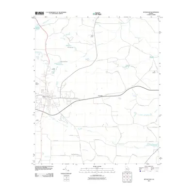 2011 Butler East2011 Print · USGSTaylor County at the start of the 2010s reveals a landscape of rural crossroads and historic millponds surrounding the town of Butler. Researchers can locate family landmarks at Turners Chapel Cemetery or trace the waterways of Minors Millpond and Horse Creek.
 - 2011 Map of Rupert, 2011 Print
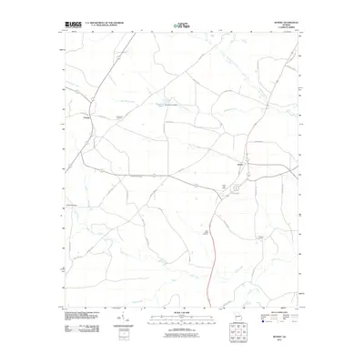 2011 Rupert2011 Print · USGSThe Taylor County interior comes into focus during the early 2000s, showing a landscape shaped by rural industry and local history. Genealogists can trace family connections at Bloodworth Cemetery and Sand Bethel Cemetery or locate the Rupert Post Office.
 - 2011 Map of Pennington, 2011 Print
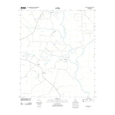 2011 Pennington2011 Print · USGSMacon County's agricultural heartland is documented here in the early twenty-first century as the Flint River cuts through a landscape of family farms and rural crossroads. Genealogists can trace numerous burial grounds including Saint Johns Cemetery and Norris Cemetery, or locate the historic Chamblis Mill.
 - 2011 Map of Ellaville North, 2011 Print
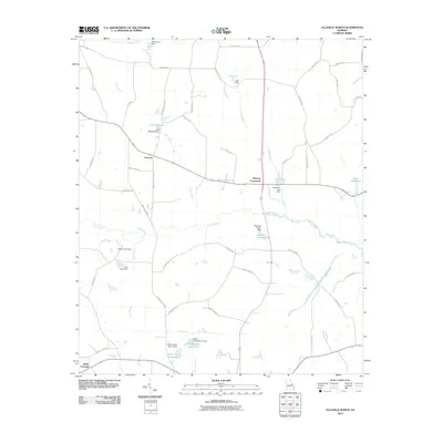 2011 Ellaville North2011 Print · USGSSchley County’s rural character is well-preserved in the early twenty-first century, showing a landscape defined by creeks and local ponds. Researchers can locate family landmarks such as Rufus Peepe Lake South and historic crossroads like Concord and Murrays Crossroads.
 - 2011 Map of Montezuma, 2011 Print
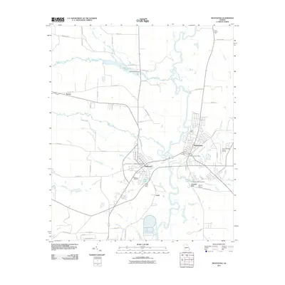 2011 Montezuma2011 Print · USGSMontezuma and Oglethorpe sit on opposite banks of the Flint River in this early 21st-century Georgia survey. Researchers can trace local heritage through the Oglethorpe Cemetery, the legacy of the Dr C P Savage Senior Airport, and several historic dam sites.
 - 2011 Map of Ideal North, 2011 Print
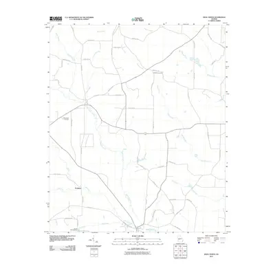 2011 Ideal North2011 Print · USGSMacon County's rural agricultural lands are captured here in the early twenty-first century, centered on the Whitewater Creek basin. Researchers can locate the settlement of Southland and trace local family history at Bethlehem Cemetery or Mount Sinai Cemetery.
 - 2011 Map of Ideal South, 2011 Print
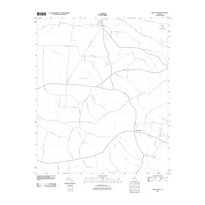 2011 Ideal South2011 Print · USGSMacon County's rural heartland is detailed in the early twenty-first century as the community of Ideal and the crossroads at Fountainville anchor the local geography. Researchers can trace family-named routes and visit sites like the English Cemetery and English Millpond.
 - 2011 Map of Reynolds, 2011 Print
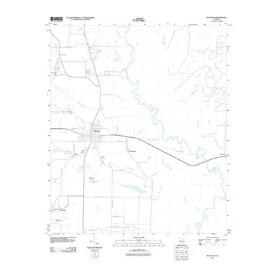 2011 Reynolds2011 Print · USGSTaylor County at the start of the century is defined by rural settlements and the winding Flint River. Genealogists and local historians can locate community landmarks like Potterville, New Hope Cemetery, and the banks of Patsiliga Creek.
 - 2011 Map of Perry West, 2011 Print
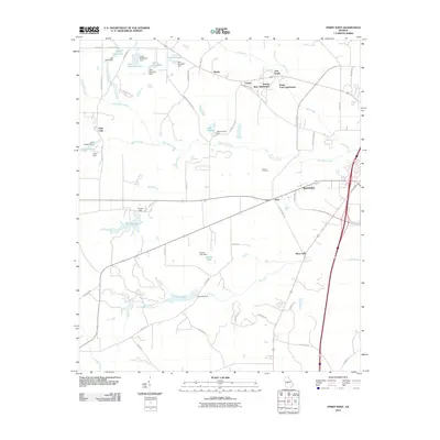 2011 Perry West2011 Print · USGSHouston County at the start of the 2010s shows a landscape of growing residential subdivisions and managed waterways west of Perry. Genealogists and local historians can trace the developments of Saint Louis, Myrtle, and the Hoses Cemetery.
 - 2011 Map of Marshallville SW, 2011 Print
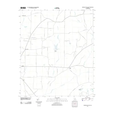 2011 Marshallville SW2011 Print · USGSIn the early twenty-first century, this part of Macon County was a landscape of crossroads settlements and winding creeks. Genealogists can trace family-named routes like Derrick Irby Rd and find localities such as Spalding, Five Points, and Fields.
 - 2011 Map of Henderson, 2011 Print
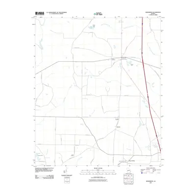 2011 Henderson2011 Print · USGSDooly County at the start of the 2010s reveals a structured landscape of rural settlements and family-named roads. Genealogists can trace burial sites from Henderson Cemetery to Snow Springs Cemetery while locating former hubs like Emerich and Snow Spring.
 - 2011 Map of Marshallville, 2011 Print
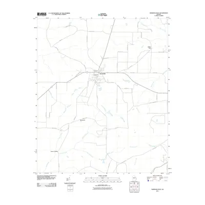 2011 Marshallville2011 Print · USGSMarshallville and the surrounding Macon County countryside are documented here during a period of modern agricultural stability. Genealogists and local historians can trace the roads connecting Winchester and Lowes Crossing or locate family sites near Marshallville Cemetery and Willow Lake.
 - 2011 Map of Fort Valley West, 2011 Print
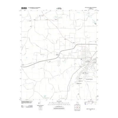 2011 Fort Valley West2011 Print · USGSIn the heart of Peach County during the early twenty-first century, the area around Fort Valley balanced its educational importance with deep-rooted agricultural ties. Researchers can trace historic family landmarks such as Taylors Mill and Harris Chapel Cemetery, or locate regional hubs like Lee Pope and Zenith.
 - 2011 Map of Byromville, 2011 Print
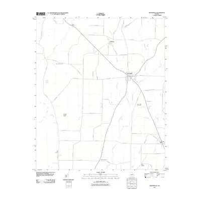 2011 Byromville2011 Print · USGSByromville and the rural reaches of Dooly County are shown in detail during the early 21st century. Researchers can locate family sites and landmarks including Hepzibah Cemetery, Quinn Bridge, and the Lilly Post Office.
 - 2014 Map of Ideal North, 2014 Print
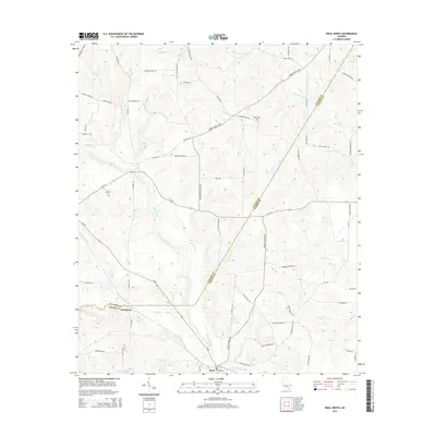 2014 Ideal North2014 Print · USGSCrossing the boundary of Taylor and Macon counties in the mid-2010s, this area maintains its traditional rural character shaped by creek systems. Genealogists and local historians can locate Mt Sinai Cem, the community of Southland, and family landmarks along Tommy Purvis Jr Rd.
 - 2014 Map of Montezuma, 2014 Print
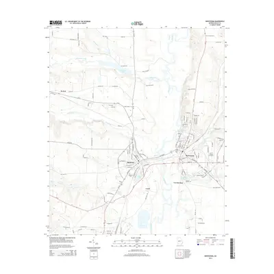 2014 Montezuma2014 Print · USGSThe Flint River floodplain in central Georgia is captured here as it appeared in the early 21st century. Researchers can trace the civic layouts of Montezuma and Oglethorpe, alongside smaller locales like Travelers Rest and family-named landmarks like Felton Cem.
 - 2014 Map of Reynolds, 2014 Print
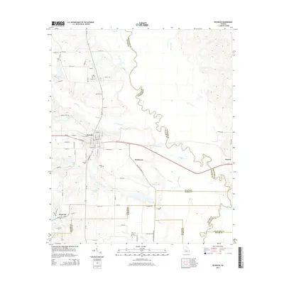 2014 Reynolds2014 Print · USGSThe rural landscape around Reynolds is captured here in the early twenty-first century, centered on the strategic crossing of GA-96 and GA-128. Genealogists can trace family heritage through local landmarks like White Hill Cem, Potterville, and the banks of the Flint River.
 - 2014 Map of Butler East, 2014 Print
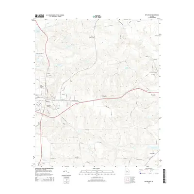 2014 Butler East2014 Print · USGSTaylor County at the start of the 2010s shows a landscape of small settlements and traditional mill sites. Genealogists can trace family names through Turners Chapel Cem or New Prospect Cem and locate landmarks like McCants Millpond.
 - 2014 Map of Ideal South, 2014 Print
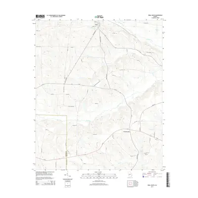 2014 Ideal South2014 Print · USGSMacon and Schley counties are shown in this modern survey of the agricultural landscape near Ideal. Genealogists can trace family footprints near English Cemetery and English Millpond, or along Buck Creek.
 - 2014 Map of Pennington, 2014 Print
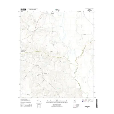 2014 Pennington2014 Print · USGSMacon and Sumter counties come together along the Flint River in the early twenty-first century, a region defined by its rural heritage and the legacy of the Andersonville National Historic Site. Researchers can trace local lineage through numerous grounds like Saint James Pennington Cem and Kelley Cem.
 - 2014 Map of Rupert, 2014 Print
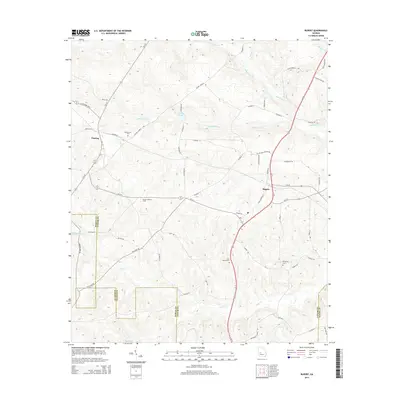 2014 Rupert2014 Print · USGSTaylor County agriculture and timber lands are well-defined in this contemporary survey of the Rupert and Charing area. Researchers can trace local family lineages through Bloodworth Cem and locate landmarks like the Beulah Lookout Tower.
 - 2014 Map of Garden Valley, 2014 Print
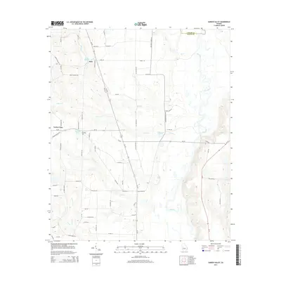 2014 Garden Valley2014 Print · USGSGarden Valley and its surrounding Macon County farmland are captured here in the early twenty-first century, just west of the Flint River. Researchers can trace family history through sites like Pleasant Grove Cem and local landmarks like Hicks Millpond and Miona Springs.
 - 2014 Map of Marshallville SW, 2014 Print
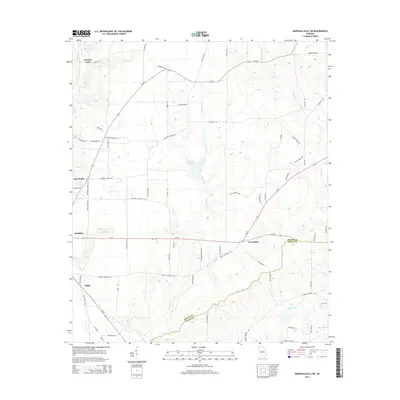 2014 Marshallville SW2014 Print · USGSAgricultural life in Macon and Dooly counties thrives along the banks of Hogcrawl Cr in this recent survey. Genealogists and local historians can trace legacy road networks and community centers like Five Points, Spalding, and the Mennonite School Rd.
Showing maps 1-25 of 80
Top cities of Macon County
- Montezuma historical maps
- Marshallville historical maps
- Oglethorpe historical maps
- Ideal historical maps
Frequently asked questions
- What are the different types of historical maps available for Macon County?
- What is the oldest map of Macon County?
- Where can I purchase historical maps of Macon County for my home or office?
- Where can I download high-res historical maps of Macon County?
- Are there historical topographic maps available for Macon County?
- Is there historical aerial imagery available for Macon County?
- Where are historical maps of Macon County sourced from?