Old Maps of Meriwether County, Georgia for Hiking & Exploration
Hike through history with 89 historic maps of Meriwether County. Explore old trails, ghost towns, and forgotten backroads — perfect for outdoor adventurers and local explorers.
- Rediscover forgotten places: Map out old mining camps, roads, and footpaths that no longer exist on modern maps.
- Layer with modern tools: Combine with LiDAR or satellite views to plan hikes through historical terrain.
- Made for exploration: Popular among hikers, overlanders, and local history lovers.
Use these maps to find adventure and explore the hidden past of Meriwether County.
Meriwether County, GA maps
(89)- 1907 Map of Talbotton
 1907 Talbotton1907 Print · USGSWest-central Georgia at the turn of the century is a landscape of ridges and rail-lines, dominated by the thermal waters of Warm Springs. Local historians can trace the foundations of Talbotton and rural life at Turntime Crossroads, Cataula Camp Ground, and Greens Mill.3 unique versions available
 - 1934 Map of Warm Springs, 1958 Print
 1934 Warm Springs1958 Print · USGSWest-central Georgia at the height of the New Deal era reveals a landscape of therapeutic springs, mountain gaps, and busy rail junctions. Genealogists and historians can locate family landmarks like Williams Chapel, the Warm Springs Foundation, and Chalybeate Springs along the rugged Pine Mountain ridge.7 unique versions available
 - 1936 Map of Warm Springs
 1936 Warm Springs1936 Print · USGSWest-central Georgia at the height of the New Deal era centers on the therapeutic and institutional development of Warm Springs. Researchers can trace the rail-and-road network connecting Manchester and Woodbury or locate landmarks like the Warm Springs Foundation and Ebenezer Cem.4 unique versions available
 - 1953 Map of Atlanta, 1965 Print
 1953 Atlanta1965 Print · USGSThe growing Atlanta metro and the industrial corridors of Eastern Alabama are captured here during the mid-century transition. Researchers can trace the rail-to-road shift through hubs like Anniston and La Grange or locate sites within Fort McClellan.2 unique versions available
 - 1955 Map of Phenix City, 1964 Print
 1955 Phenix City1964 Print · USGSPost-war Alabama and Georgia meet along the Chattahoochee River as industry and military installations expand. Trace the rail lines of the Central of Georgia through towns like Opelika, Tuskegee, and Alexander City.3 unique versions available
 - 1957 Map of Phenix City
 1957 Phenix City1957 Print · USGSThe Alabama-Georgia borderlands are captured here in the mid-fifties, centered on the bustling river crossing at Phenix City and Columbus. Researchers can trace the mid-century footprint of the Fort Benning Military Reservation or locate smaller textile and railroad towns like Langdale and Camp Hill.
 - 1957 Map of Atlanta
 1957 Atlanta1957 Print · USGSAtlanta and the Alabama borderlands appear here in the mid-fifties, capturing the region's post-war suburban and industrial transition. Trace the development of early transport hubs and military sites like Fort McPherson, Anniston, and the Kennesaw Mountain National Battlefield Park.
 - 1958 Map of Phenix City
 1958 Phenix City1958 Print · USGSThe Alabama-Georgia borderlands thrive during the late fifties, anchored by the river-driven industry of Columbus and Phenix City. Researchers can trace the mid-century footprints of Fort Benning, Auburn, and the textile towns of Fairfax and Lanett.
 - 1958 Map of Atlanta
 1958 Atlanta1958 Print · USGSMid-century Georgia and Alabama are shown in this regional study of the corridor between the Chattahoochee River and the Appalachian foothills. Local historians can trace the development of suburban Atlanta alongside vital landmarks like Stone Mountain, Dobbins AFB, and the Seaboard Air Line rail routes.
 - 1964 Map of Pine Mountain, 1966 Print
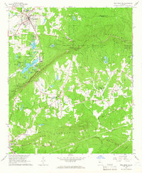 1964 Pine Mountain1966 Print · USGSHarris County and the ridges of the Pine Mountain range were transitioning into a major recreational corridor in the mid-sixties. Genealogists and local historians can trace the foundations of Pine Mountain Valley, locate the Whitehead Cemetery, and explore the early layout of Callaway Gardens.
 - 1964 Map of Grantville, 1966 Print
 1964 Grantville1966 Print · USGSWest-central Georgia at the height of the sixties is documented here as the railroad corridor connects rural communities across three counties. Genealogists can trace family names at Holly Springs Cem or locate the High Sch and St Pauls Ch in the Lone Oak area.3 unique versions available
 - 1964 Map of Durand, 1966 Print
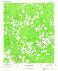 1964 Durand1966 Print · USGSWestern Georgia at the start of the sixties reveals a transition from rail-dependent commerce to a rural landscape of family homesteads. Genealogists can locate family burial sites at Ogletree Cem and Hardy Cem or trace the Atlantic Coast Line through Durand.
 - 1964 Map of Odessadale, 1966 Print
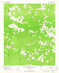 1964 Odessadale1966 Print · USGSThe border of Troup and Meriwether counties comes into focus in the mid-1960s, showing a rural landscape of family cemeteries and wooded creek branches. Trace local history through Saint Marks Ch, the OLD RAILROAD GRADE, and numerous family plots like McLaughlin Cem and Cousins Cem.
 - 1971 Map of Woodbury, 1973 Print
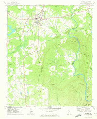 1971 Woodbury1973 Print · USGSThe railroad junction at Woodbury and the heights of Pine Mountain define this Georgia landscape in the early seventies. Genealogists can trace family names and rural communities through landmarks like Sees Old Mill, Concord Cem, and Loftin.2 unique versions available
 - 1971 Map of Luthersville, 1973 Print
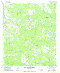 1971 Luthersville1973 Print · USGSThe Meriwether County countryside is captured here in the early seventies, centered on the railroad town of Luthersville. Researchers can trace old family footprints through numerous sites like Strickland Town Cemetery and New Hope Church.
 - 1971 Map of Manchester, 1973 Print
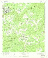 1971 Manchester1973 Print · USGSThe Georgia Piedmont at the start of the 1970s was defined by the ridges of PINE MOUNTAIN and the tracks of the Seaboard Coast Line. Genealogists and historians can trace the rural communities of Chalybeate Springs and Belleview, and locate local landmarks like Greens Mill and Valley Grove Ch.2 unique versions available
 - 1971 Map of Greenville, 1973 Print
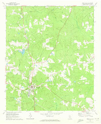 1971 Greenville1973 Print · USGSMeriwether County's rural character is well-preserved in this early 1970s survey of the area surrounding the county seat. Genealogists and local historians can trace family locations near Greenville City Cemetery, Bowes Chapel, and along the Central of Georgia rail line.
 - 1971 Map of Hollonville, 1973 Print
 1971 Hollonville1973 Print · USGSThe Pike and Spalding county borderlands in the early seventies reveal a rural landscape shaped by the Flint River. Local researchers can trace family-named sites like Blantons Mill, the community of Zetella, and numerous cemeteries including Johnston Cem.2 unique versions available
 - 1971 Map of Shiloh, 1973 Print
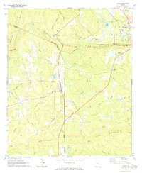 1971 Shiloh1973 Print · USGSShiloh and the surrounding ridgelines are captured here in the early seventies as the railroad and rural life defined this part of Georgia. Researchers can trace family history at Tramell Cem or locate the site of St Pauls Ch and Bulloch Crossroads.2 unique versions available
 - 1971 Map of Warm Springs, 1973 Print
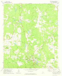 1971 Warm Springs1973 Print · USGSWestern Georgia at the start of the 1970s reveals a landscape shaped by presidential history and rural industry. Genealogists and researchers can trace family landmarks like the Judson-Bulloch Cem or visit The Little White House and Harris City.2 unique versions available
 - 1971 Map of Haralson, 1973 Print
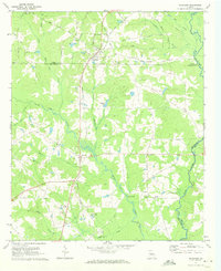 1971 Haralson1973 Print · USGSHaralson and the surrounding tri-county area are shown in the early seventies as the railroad still influenced local geography. Researchers can find numerous family landmarks and rural institutions, from the Covered Bridge on White Oak Creek to the McCrary Sch and Pleasant Hill Ch.2 unique versions available
 - 1971 Map of Gay, 1973 Print
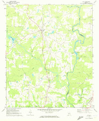 1971 Gay1973 Print · USGSMeriwether and Pike Counties are captured here in the early 1970s, as rural rail life centered on the Flint River and the Seaboard Coast Line. Genealogists can trace family landmarks including the Covered Bridge, Thrash Cem, and the town of Gay.
 - 1979 Map of Griffin, 1980 Print
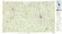 1979 Griffin1980 Print · USGSWest-central Georgia at the close of the seventies reveals a landscape of historic rail towns and growing suburbs between the major river systems. Trace the rail lines and early road networks connecting Griffin, Peachtree City, and Newnan, or locate smaller settlements like Senoia and Experiment.3 unique versions available
 - 1981 Map of Thomaston, 1982 Print
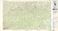 1981 Thomaston1982 Print · USGSCentral Georgia’s ridgeline and river country comes into focus in this early 1980s survey of the Pine Mountain corridor. Researchers can trace historic church sites like Oak Grove Ch, the rail junctions at Manchester, and the expansive Franklin D Roosevelt State Park.
 - 2011 Map of Woodbury, 2011 Print
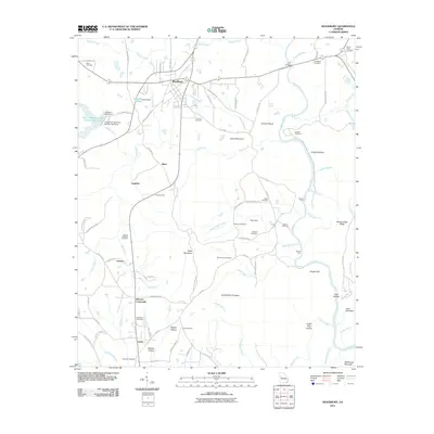 2011 Woodbury2011 Print · USGSThe rural landscape around Woodbury and the Flint River corridor comes into focus in the early 2010s. Genealogists and local historians can locate many family landmarks and small communities, from Sees Old Mill to Bethesda Cemetery and Johnson Crossroads.
Showing maps 1-25 of 89
Top cities of Meriwether County
- Manchester historical maps
- Woodbury historical maps
- Greenville historical maps
- Luthersville historical maps
- Warm Springs historical maps
- Lone Oak historical maps
See more
Frequently asked questions
- What are the different types of historical maps available for Meriwether County?
- What is the oldest map of Meriwether County?
- Where can I purchase historical maps of Meriwether County for my home or office?
- Where can I download high-res historical maps of Meriwether County?
- Are there historical topographic maps available for Meriwether County?
- Is there historical aerial imagery available for Meriwether County?
- Where are historical maps of Meriwether County sourced from?