2000s (21st Century) Maps of Meriwether County, Georgia
Explore 65 historic maps of Meriwether County from the 2000s (21st Century). These maps offer a rare glimpse into what life looked like during the 2000s — showing old roads, neighborhoods, homes, and landmarks that have changed or disappeared over time.
Whether you're researching your family's past, planning a metal detecting trip, or studying how Meriwether County's landscape evolved across the 2000s, these high-resolution maps are a powerful tool for exploring the history of this region.
- Focus on a specific era: All maps on this page are from the 2000s, giving you a focused view of this time period.
- See what’s changed: Compare century-old streets, trails, and buildings to today's modern landscape using overlays and satellite layers.
- Research with precision: Use these maps for genealogy, historical research, land use analysis, or educational projects.
- View, download, or print: Maps are fully viewable online in high resolution, and can be downloaded or printed for your own records.
Start exploring Meriwether County's history through authentic maps from the 2000s. This is your window into the past.
Meriwether County, GA maps
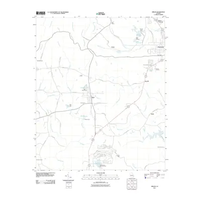
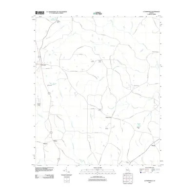
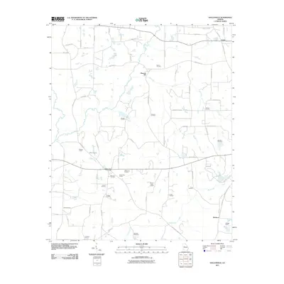
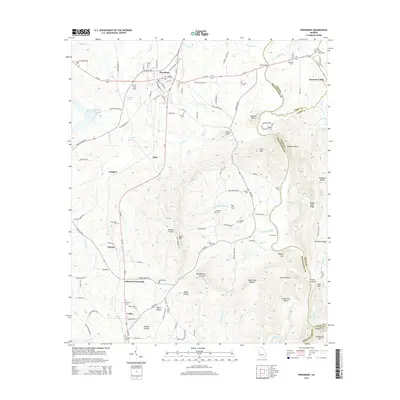
(65)- 2011 Map of Woodbury, 2011 Print
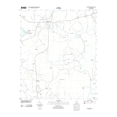 2011 Woodbury2011 Print · USGSCovers Meriwether County, including Woodbury, Upson County, and other nearby areas
 - 2011 Map of Manchester, 2011 Print
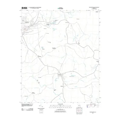 2011 Manchester2011 Print · USGSCovers Meriwether County, including Manchester, Woodland, and other nearby areas
 - 2011 Map of Pine Mountain, 2011 Print
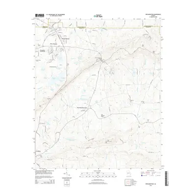
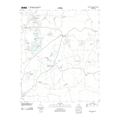 2011 Pine Mountain2011 Print · USGSCovers Meriwether County, including Pine Mountain, Hamilton, and other nearby areas
 - 2011 Map of Warm Springs, 2011 Print
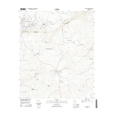
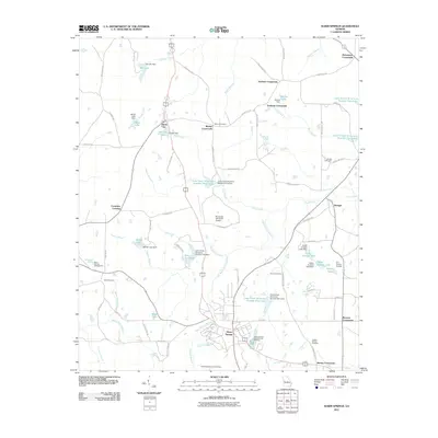 2011 Warm Springs2011 Print · USGSCovers Meriwether County, including Warm Springs, Harris City, and other nearby areas
 - 2011 Map of Shiloh, 2011 Print
 2011 Shiloh2011 Print · USGSCovers Meriwether County, including Manchester, Shiloh, and other nearby areas
 - 2011 Map of Durand, 2011 Print
 2011 Durand2011 Print · USGSCovers Meriwether County, including Pine Mountain, Oak Grove, and other nearby areas
 - 2011 Map of Gay, 2011 Print
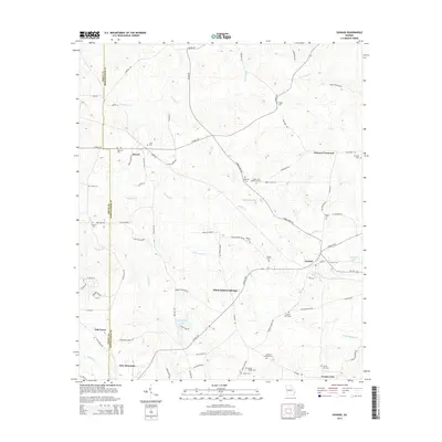
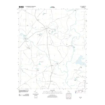 2011 Gay2011 Print · USGSCovers Meriwether County, including Molena, Gay, and other nearby areas
 - 2011 Map of Haralson, 2011 Print
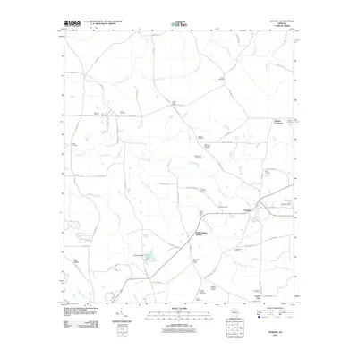
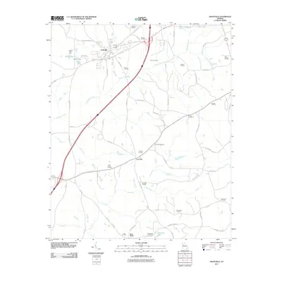
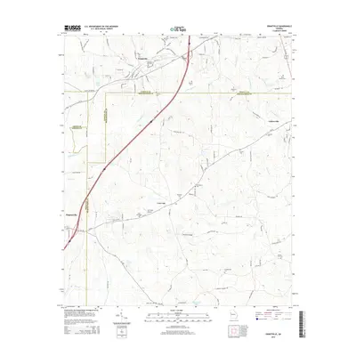
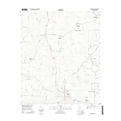
 2011 Haralson2011 Print · USGSCovers Meriwether County, including Haralson, Alps, and other nearby areas
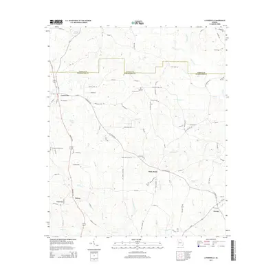
 - 2011 Map of Luthersville, 2011 Print
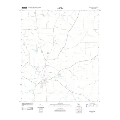
 2011 Luthersville2011 Print · USGSCovers Meriwether County, including Luthersville, Rocky Mount, and other nearby areas
 - 2011 Map of Grantville, 2011 Print
 2011 Grantville2011 Print · USGSCovers Meriwether County, including Grantville, Hogansville, and other nearby areas
 - 2011 Map of Odessadale, 2011 Print
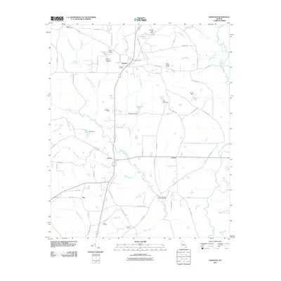
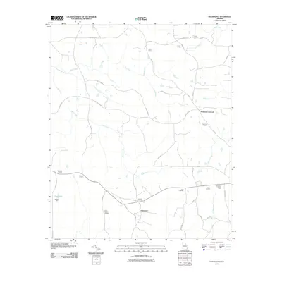 2011 Odessadale2011 Print · USGSCovers Meriwether County, including Saint Marks, Odessadale, and other nearby areas
 - 2011 Map of Greenville, 2011 Print
 2011 Greenville2011 Print · USGSCovers Meriwether County, including Greenville, Woodcraft, and other nearby areas
 - 2011 Map of Hollonville, 2011 Print
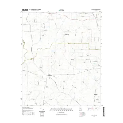
 2011 Hollonville2011 Print · USGSCovers Meriwether County, including Hollonville, Reidsboro, and other nearby areas
 - 2014 Map of Odessadale, 2014 Print
 2014 Odessadale2014 Print · USGSCovers Meriwether County, including Saint Marks, Odessadale, and other nearby areas
 - 2014 Map of Greenville, 2014 Print
 2014 Greenville2014 Print · USGSCovers Meriwether County, including Greenville, Woodcraft, and other nearby areas
 - 2014 Map of Haralson, 2014 Print
 2014 Haralson2014 Print · USGSCovers Meriwether County, including Haralson, Alps, and other nearby areas
 - 2014 Map of Luthersville, 2014 Print
 2014 Luthersville2014 Print · USGSCovers Meriwether County, including Luthersville, Rocky Mount, and other nearby areas
 - 2014 Map of Grantville, 2014 Print
 2014 Grantville2014 Print · USGSCovers Meriwether County, including Grantville, Hogansville, and other nearby areas
 - 2014 Map of Hollonville, 2014 Print
 2014 Hollonville2014 Print · USGSCovers Meriwether County, including Hollonville, Reidsboro, and other nearby areas
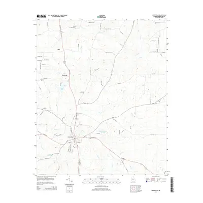
 - 2014 Map of Manchester, 2014 Print
 2014 Manchester2014 Print · USGSCovers Meriwether County, including Manchester, Woodland, and other nearby areas
 - 2014 Map of Woodbury, 2014 Print
 2014 Woodbury2014 Print · USGSCovers Meriwether County, including Woodbury, Upson County, and other nearby areas
 - 2014 Map of Warm Springs, 2014 Print
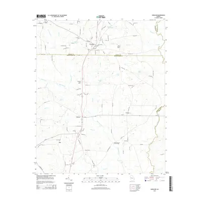
 2014 Warm Springs2014 Print · USGSCovers Meriwether County, including Warm Springs, Harris City, and other nearby areas
 - 2014 Map of Shiloh, 2014 Print
 2014 Shiloh2014 Print · USGSCovers Meriwether County, including Manchester, Shiloh, and other nearby areas
 - 2014 Map of Durand, 2014 Print
 2014 Durand2014 Print · USGSCovers Meriwether County, including Pine Mountain, Oak Grove, and other nearby areas
 - 2014 Map of Pine Mountain, 2014 Print
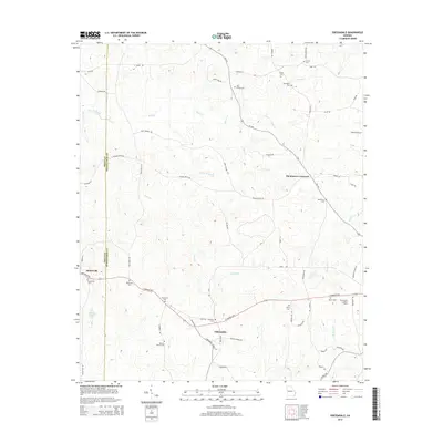
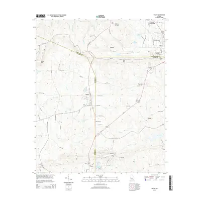
 2014 Pine Mountain2014 Print · USGSCovers Meriwether County, including Pine Mountain, Hamilton, and other nearby areas
Showing maps 1-25 of 65
Top cities of Meriwether County
- Manchester historical maps
- Woodbury historical maps
- Greenville historical maps
- Luthersville historical maps
- Warm Springs historical maps
- Lone Oak historical maps
See more
Frequently asked questions
- What are the different types of historical maps available for Meriwether County?
- What is the oldest map of Meriwether County?
- Where can I purchase historical maps of Meriwether County for my home or office?
- Where can I download high-res historical maps of Meriwether County?
- Are there historical topographic maps available for Meriwether County?
- Is there historical aerial imagery available for Meriwether County?
- Where are historical maps of Meriwether County sourced from?