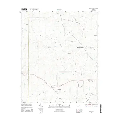
2014 Map of Odessadale
USGS Topo · Published 2014About this map
The settlement of Odessadale sits at the heart of this rural landscape, positioned where the La Grange Hwy meets local routes like Harman Rd. This 2014 survey reveals a territory defined by small agricultural communities and a significant density of family and community burial grounds, illustrating the deep roots of the local population. Along the Troup Co and Meriwether Co boundary, the landscape shifts between the rolling drainage of Beech Cr and Bear Cr. Further west, the town of Mountville serves as a local hub, anchored by its proximity to the Mountville Cem. Notable landmarks such as the Meriwether Lookout Tower provide fixed points for navigation across the ridges, while various church and family cemeteries like Needmore Cem and Ollie Branch Cem are scattered throughout, offering critical data points for genealogists tracking local families near Thompson Crossroad.
Find a feature on this map
67 named features on this map. Tap any name to fly to it.
Don’t see what you’re looking for? This feature index may not catch every label — zoom into the map to look around manually.
Map Details
Editions of this 2014 Odessadale Map
This is the sole edition of this map. No revisions or reprints were ever made.
Other maps of this area

1907 · Talbotton
USGS Topo · 1:125,000

1934 · Warm Springs
USGS Topo · 1:62,500

1936 · Warm Springs
USGS Topo · 1:62,500

1953 · Atlanta
USGS Topo · 1:250,000

1955 · Phenix City
USGS Topo · 1:250,000

1957 · Phenix City
USGS Topo · 1:250,000

1957 · Atlanta
USGS Topo · 1:250,000

1958 · Phenix City
USGS Topo · 1:250,000

1958 · Atlanta
USGS Topo · 1:250,000

1964 · Hogansville
USGS Topo · 1:24,000