Old Maps of Mountville, Georgia
Explore 16 old maps of Mountville, spanning from 1953 to today. These high-resolution historic maps reveal how streets, neighborhoods, landmarks, and natural features evolved over time — perfect for genealogy, metal detecting, research, and local history exploration.
What you can do with these maps:
- See how Mountville changed over time: Compare historical maps to modern-day views to trace roads, homesites, rail lines & more.
- View detailed metadata: Each map includes creators, publishers, year, scale, and archive source.
- Overlay maps with satellite & LiDAR: Visualize the past alongside modern tools to explore terrain & human change.
- Trusted historical sources: Maps sourced from the USGS, Library of Congress, and other archives.
- Access maps your way: View online, download high-res files, or order prints for personal or research use.
Start exploring old maps of Mountville to uncover forgotten places, hidden landmarks, and the deep history beneath your feet.
Mountville, GA maps
(16)- 1953 Map of Atlanta, 1965 Print
 1953 Atlanta1965 Print · USGSThe growing Atlanta metro and the industrial corridors of Eastern Alabama are captured here during the mid-century transition. Researchers can trace the rail-to-road shift through hubs like Anniston and La Grange or locate sites within Fort McClellan.2 unique versions available
 - 1957 Map of Atlanta
 1957 Atlanta1957 Print · USGSAtlanta and the Alabama borderlands appear here in the mid-fifties, capturing the region's post-war suburban and industrial transition. Trace the development of early transport hubs and military sites like Fort McPherson, Anniston, and the Kennesaw Mountain National Battlefield Park.
 - 1958 Map of Atlanta
 1958 Atlanta1958 Print · USGSMid-century Georgia and Alabama are shown in this regional study of the corridor between the Chattahoochee River and the Appalachian foothills. Local historians can trace the development of suburban Atlanta alongside vital landmarks like Stone Mountain, Dobbins AFB, and the Seaboard Air Line rail routes.
 - 1964 Map of Mountville, 1965 Print
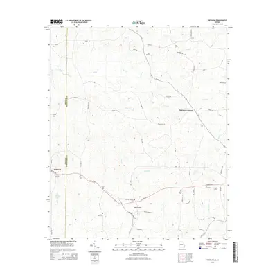
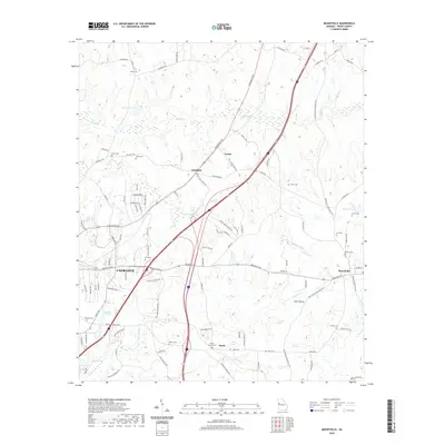
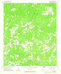 1964 Mountville1965 Print · USGSTroup County in the mid-sixties remains a landscape of traditional family-named roads and rural rail crossings. Genealogists and local historians can trace family sites at the Traylor-Johnson Cem, Mount Pleasant Sch, and the community of Mountville.3 unique versions available
 - 1964 Map of Odessadale, 1966 Print
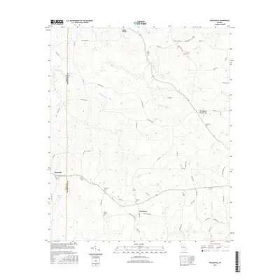
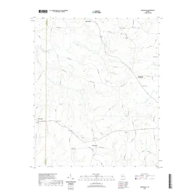
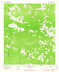 1964 Odessadale1966 Print · USGSThe border of Troup and Meriwether counties comes into focus in the mid-1960s, showing a rural landscape of family cemeteries and wooded creek branches. Trace local history through Saint Marks Ch, the OLD RAILROAD GRADE, and numerous family plots like McLaughlin Cem and Cousins Cem.
 - 1979 Map of Griffin, 1980 Print
 1979 Griffin1980 Print · USGSWest-central Georgia at the close of the seventies reveals a landscape of historic rail towns and growing suburbs between the major river systems. Trace the rail lines and early road networks connecting Griffin, Peachtree City, and Newnan, or locate smaller settlements like Senoia and Experiment.3 unique versions available
 - 2011 Map of Mountville, 2011 Print
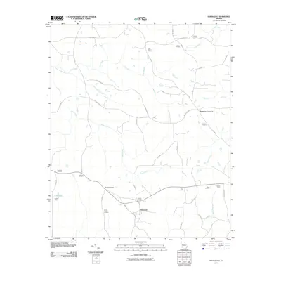
 2011 Mountville2011 Print · USGSCovers Mountville, including LaGrange, Knott, and other nearby areas
 - 2011 Map of Odessadale, 2011 Print
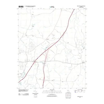
 2011 Odessadale2011 Print · USGSCovers Mountville, including Saint Marks, Odessadale, and other nearby areas
 - 2014 Map of Odessadale, 2014 Print
 2014 Odessadale2014 Print · USGSCovers Mountville, including Saint Marks, Odessadale, and other nearby areas
 - 2014 Map of Mountville, 2014 Print
 2014 Mountville2014 Print · USGSCovers Mountville, including LaGrange, Knott, and other nearby areas
 - 2017 Map of Odessadale, 2017 Print
 2017 Odessadale2017 Print · USGSCovers Mountville, including Saint Marks, Odessadale, and other nearby areas
 - 2017 Map of Mountville, 2017 Print
 2017 Mountville2017 Print · USGSCovers Mountville, including LaGrange, Knott, and other nearby areas
 - 2020 Map of Mountville, 2020 Print
 2020 Mountville2020 Print · USGSCovers Mountville, including LaGrange, Knott, and other nearby areas
 - 2020 Map of Odessadale, 2020 Print
 2020 Odessadale2020 Print · USGSCovers Mountville, including Saint Marks, Odessadale, and other nearby areas
 - 2024 Map of Odessadale, 2024 Print
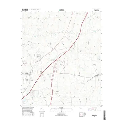
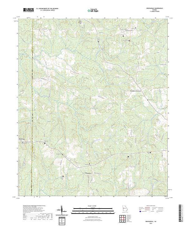 2024 Odessadale2024 Print · USGSThe Meriwether and Troup county line comes alive in this contemporary view of rural Georgia's crossroads and country roads. Researchers can trace family history through numerous burial sites including Florence Cem, Needmore Cem, and the Branch Hebron Cem.
 - 2024 Map of Mountville, 2024 Print
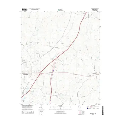
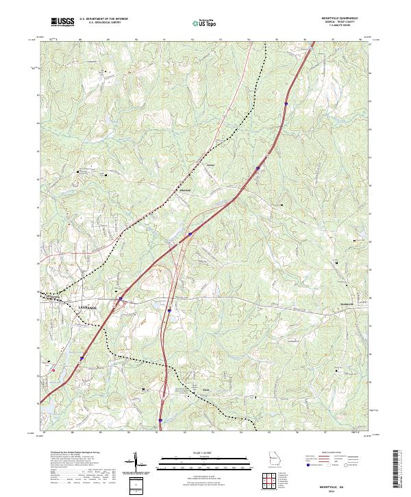 2024 Mountville2024 Print · USGSEastern Troup County is captured here in its modern rural character, showing the landscape between the outskirts of LaGrange and Mountville. Genealogists can locate numerous family burial grounds like Old Shiloh Cem and Heard Cem near the banks of Shoal Creek.
End of results
Showing maps 1-16 of 16
Top cities near Mountville
- LaGrange historical maps
- Manchester historical maps
- Grantville historical maps
- Hogansville historical maps
- Pine Mountain historical maps
- Franklin historical maps
See more
Frequently asked questions
- What are the different types of historical maps available for Mountville?
- What is the oldest map of Mountville?
- Where can I purchase historical maps of Mountville for my home or office?
- Where can I download high-res historical maps of Mountville?
- Are there historical topographic maps available for Mountville?
- Is there historical aerial imagery available for Mountville?
- Where are historical maps of Mountville sourced from?