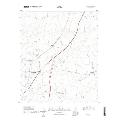
2020 Map of Mountville
USGS Topo · Published 2020About this map
LaGrange and its northeastern rural surroundings are captured in this modern survey, revealing a landscape where agricultural heritage meets growing infrastructure. The northeastern portion of the sheet features the historic crossroads of Mountville and the small settlements of Louise and Whitfield, which are connected by a network of rural roads such as Hogansville Rd and Greenville Rd. Numerous family and community burial grounds, including Louise Cem, Evans Cem, and Traylor Johnson Cem, are scattered throughout the countryside, providing significant data for genealogical research.
Find a feature on this map
110 named features on this map. Tap any name to fly to it.
Don’t see what you’re looking for? This feature index may not catch every label — zoom into the map to look around manually.
Map Details
Editions of this 2020 Mountville Map
This is the sole edition of this map. No revisions or reprints were ever made.
Other maps of this area

1899 · Wedowee
USGS Topo · 1:125,000

1902 · Wedowee
USGS Topo · 1:125,000

1907 · Talbotton
USGS Topo · 1:125,000

1907 · Opelika
USGS Topo · 1:125,000

1909 · Opelika
USGS Topo · 1:125,000

1953 · Atlanta
USGS Topo · 1:250,000

1955 · Phenix City
USGS Topo · 1:250,000

1957 · Phenix City
USGS Topo · 1:250,000

1957 · Atlanta
USGS Topo · 1:250,000

1958 · Phenix City
USGS Topo · 1:250,000