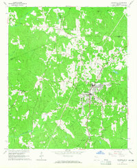
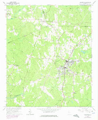
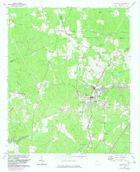
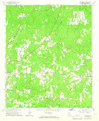
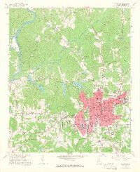
1964 Map of Hogansville
USGS Topo · Published 1965About this map
Hogansville sits at the heart of this mid-1960s study, where the Atlanta and West Point railroad corridor defines the town's central axis. The landscape reveals a complex network of rural communities and crossroads, including Corinth, Trimble, and Bass Crossroads, which are connected by historic routes such as Mobley Bridge Road and Hightower Road. The terrain is deeply inscribed with family and community history, evidenced by numerous small burial grounds like Brown Cem, Reid Cem, and Jackson Cem.
Find a feature on this map
48 named features on this map. Tap any name to fly to it.
Don’t see what you’re looking for? This feature index may not catch every label — zoom into the map to look around manually.
Map Details
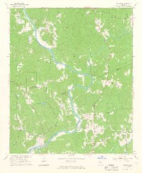
Editions of this 1964 Hogansville Map
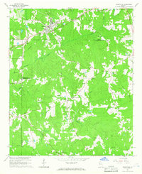
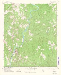
Other maps of this area

1899 · Wedowee
USGS Topo · 1:125,000

1902 · Wedowee
USGS Topo · 1:125,000

1953 · Atlanta
USGS Topo · 1:250,000

1957 · Atlanta
USGS Topo · 1:250,000

1958 · Atlanta
USGS Topo · 1:250,000
1964 · Mountville
USGS Topo · 1:24,000
1964 · La Grange
USGS Topo · 1:24,000
1964 · Hillcrest
USGS Topo · 1:24,000
1964 · Grantville
USGS Topo · 1:24,000
1964 · Franklin
USGS Topo · 1:24,000