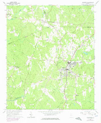
1964 Map of Hogansville
USGS Topo · Published 1974About this map
Hogansville serves as the central hub of this West Georgia landscape, situated where the Atlanta and West Point RR cuts through the rolling hills of Troup and Coweta counties. The survey captures a moment of transition for the local water system, noting the planned inundation area of West Point Lake along Yellowjacket Creek. Outside the town center, the map reveals a network of rural communities and crossroads, including Cooksville, Corinth, and Bass Crossroads, each anchored by historical institutions like Welcome All Ch and Asbury Ch.
Find a feature on this map
60 named features on this map. Tap any name to fly to it.
Don’t see what you’re looking for? This feature index may not catch every label — zoom into the map to look around manually.
Map Details
Editions of this 1964 Hogansville Map
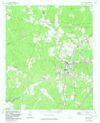
Other maps of this area

1899 · Wedowee
USGS Topo · 1:125,000

1902 · Wedowee
USGS Topo · 1:125,000

1953 · Atlanta
USGS Topo · 1:250,000

1957 · Atlanta
USGS Topo · 1:250,000

1958 · Atlanta
USGS Topo · 1:250,000

1964 · Hogansville
USGS Topo · 1:24,000
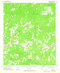
1964 · Mountville
USGS Topo · 1:24,000
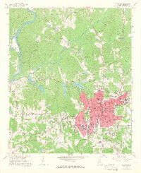
1964 · La Grange
USGS Topo · 1:24,000

1964 · Hillcrest
USGS Topo · 1:24,000

1964 · Grantville
USGS Topo · 1:24,000