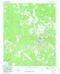
1964 Map of Hogansville
USGS Topo · Published 1983About this map
The Atlanta and West Point railroad corridor anchors the landscape of Troup and Coweta Counties, serving as the industrial spine for the town of Hogansville. The 1964 survey, revised in the early 1980s, reveals a town transitioning toward modern infrastructure, evidenced by the rising waters of West Point Lake encroaching on the Yellowjacket Creek basin and the emergence of suburban-style developments like those near Myrtle Hill Cemetery.
Find a feature on this map
51 named features on this map. Tap any name to fly to it.
Don’t see what you’re looking for? This feature index may not catch every label — zoom into the map to look around manually.
Map Details
Editions of this 1964 Hogansville Map
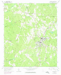
Other maps of this area

1899 · Wedowee
USGS Topo · 1:125,000

1902 · Wedowee
USGS Topo · 1:125,000

1953 · Atlanta
USGS Topo · 1:250,000

1957 · Atlanta
USGS Topo · 1:250,000

1958 · Atlanta
USGS Topo · 1:250,000

1964 · Hogansville
USGS Topo · 1:24,000
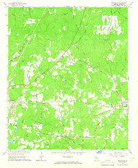
1964 · Mountville
USGS Topo · 1:24,000
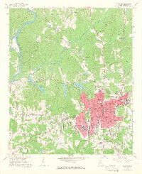
1964 · La Grange
USGS Topo · 1:24,000

1964 · Hillcrest
USGS Topo · 1:24,000

1964 · Grantville
USGS Topo · 1:24,000