2000s (21st Century) Maps of Warm Springs, Georgia
Explore 10 historic maps of Warm Springs from the 2000s (21st Century). These maps offer a rare glimpse into what life looked like during the 2000s — showing old roads, neighborhoods, homes, and landmarks that have changed or disappeared over time.
Whether you're researching your family's past, planning a metal detecting trip, or studying how Warm Springs's landscape evolved across the 2000s, these high-resolution maps are a powerful tool for exploring the history of this region.
- Focus on a specific era: All maps on this page are from the 2000s, giving you a focused view of this time period.
- See what’s changed: Compare century-old streets, trails, and buildings to today's modern landscape using overlays and satellite layers.
- Research with precision: Use these maps for genealogy, historical research, land use analysis, or educational projects.
- View, download, or print: Maps are fully viewable online in high resolution, and can be downloaded or printed for your own records.
Start exploring Warm Springs's history through authentic maps from the 2000s. This is your window into the past.
Warm Springs, GA maps
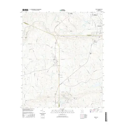
(10)- 2011 Map of Warm Springs, 2011 Print
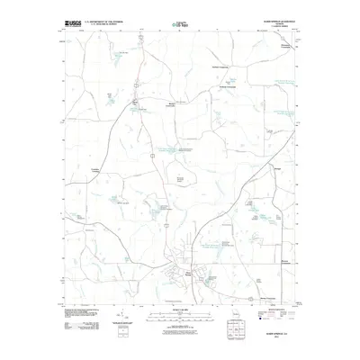 2011 Warm Springs2011 Print · USGSCovers Warm Springs, including Harris City, Raleigh, and other nearby areas
 - 2011 Map of Shiloh, 2011 Print
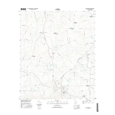
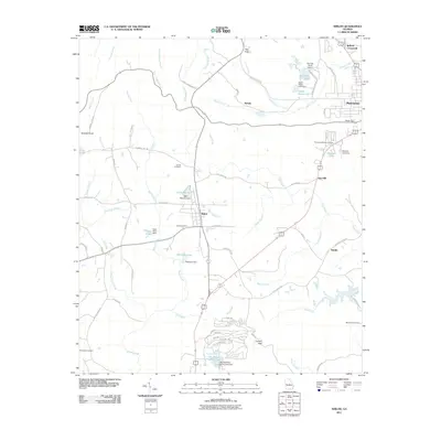 2011 Shiloh2011 Print · USGSCovers Warm Springs, including Manchester, Shiloh, and other nearby areas
 - 2014 Map of Warm Springs, 2014 Print
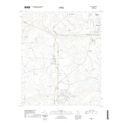
 2014 Warm Springs2014 Print · USGSCovers Warm Springs, including Harris City, Raleigh, and other nearby areas
 - 2014 Map of Shiloh, 2014 Print
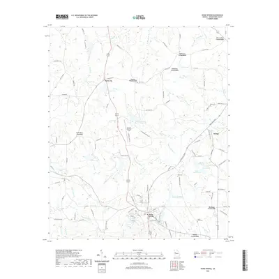
 2014 Shiloh2014 Print · USGSCovers Warm Springs, including Manchester, Shiloh, and other nearby areas
 - 2017 Map of Shiloh, 2017 Print
 2017 Shiloh2017 Print · USGSCovers Warm Springs, including Manchester, Shiloh, and other nearby areas
 - 2017 Map of Warm Springs, 2017 Print
 2017 Warm Springs2017 Print · USGSCovers Warm Springs, including Harris City, Raleigh, and other nearby areas
 - 2020 Map of Shiloh, 2020 Print
 2020 Shiloh2020 Print · USGSCovers Warm Springs, including Manchester, Shiloh, and other nearby areas
 - 2020 Map of Warm Springs, 2020 Print
 2020 Warm Springs2020 Print · USGSCovers Warm Springs, including Harris City, Raleigh, and other nearby areas
 - 2024 Map of Warm Springs, 2024 Print
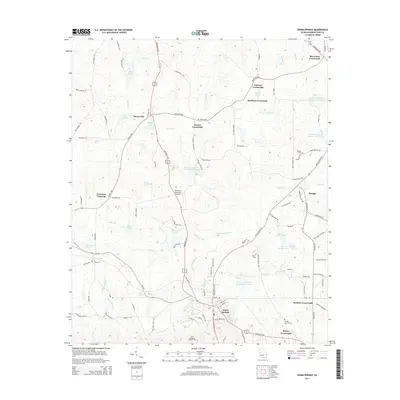
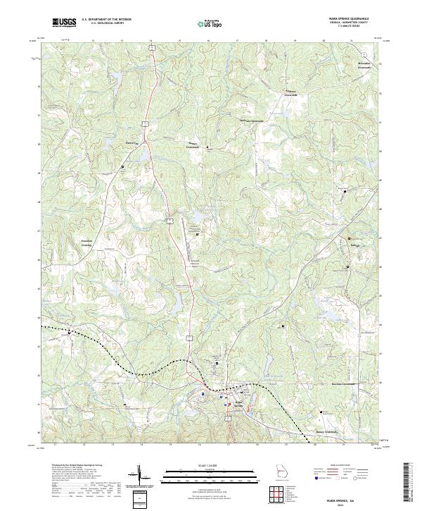 2024 Warm Springs2024 Print · USGSWarm Springs and its surrounding rural crossroads are documented here in the contemporary era. Researchers can trace family history through numerous church sites and burial grounds like Salem Baptist Church Cem and Harris Cem or locate regional landmarks such as Roosevelt Memorial Airport.
 - 2024 Map of Shiloh, 2024 Print
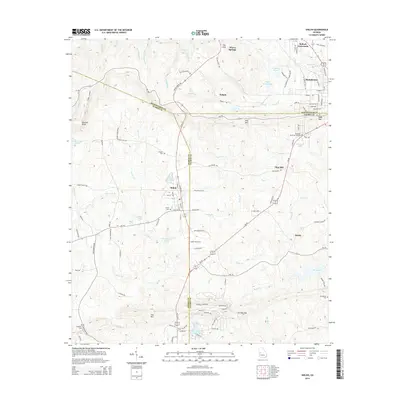
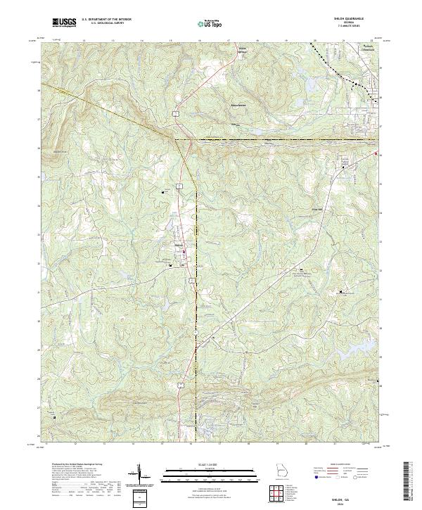 2024 Shiloh2024 Print · USGSThe peaks of Pine Mountain and Oak Mountain define this Georgia landscape in the early twenty-first century. Researchers can trace rural lineages through the Old Shiloh Baptist Church Cem, Sardis Methodist Church Cem, and the settlement at Bulloch Crossroads.
End of results
Showing maps 1-10 of 10
Top cities near Warm Springs
- Manchester historical maps
- Pine Mountain historical maps
- Woodbury historical maps
- Talbotton historical maps
- Greenville historical maps
- Waverly Hall historical maps
See more
Top neighborhoods of Warm Springs
Frequently asked questions
- What are the different types of historical maps available for Warm Springs?
- What is the oldest map of Warm Springs?
- Where can I purchase historical maps of Warm Springs for my home or office?
- Where can I download high-res historical maps of Warm Springs?
- Are there historical topographic maps available for Warm Springs?
- Is there historical aerial imagery available for Warm Springs?
- Where are historical maps of Warm Springs sourced from?