2020s Maps of Miller County, Georgia
Explore 24 historic maps of Miller County from the 2020s. These maps offer a rare glimpse into what life looked like during the 2020s — showing old roads, neighborhoods, homes, and landmarks that have changed or disappeared over time.
Whether you're researching your family's past, planning a metal detecting trip, or studying how Miller County's landscape evolved across the 2020s, these high-resolution maps are a powerful tool for exploring the history of this region.
- Focus on a specific era: All maps on this page are from the 2020s, giving you a focused view of this time period.
- See what’s changed: Compare century-old streets, trails, and buildings to today's modern landscape using overlays and satellite layers.
- Research with precision: Use these maps for genealogy, historical research, land use analysis, or educational projects.
- View, download, or print: Maps are fully viewable online in high resolution, and can be downloaded or printed for your own records.
Start exploring Miller County's history through authentic maps from the 2020s. This is your window into the past.
Miller County, GA maps
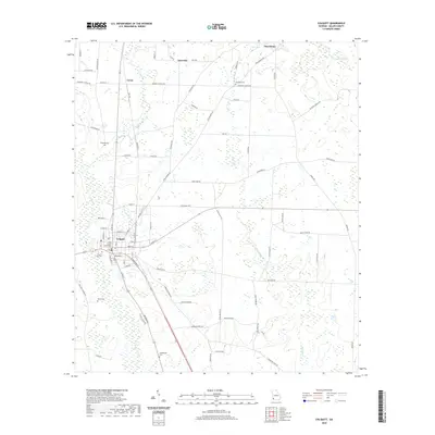
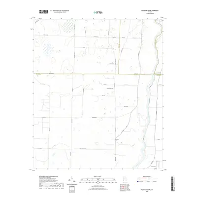
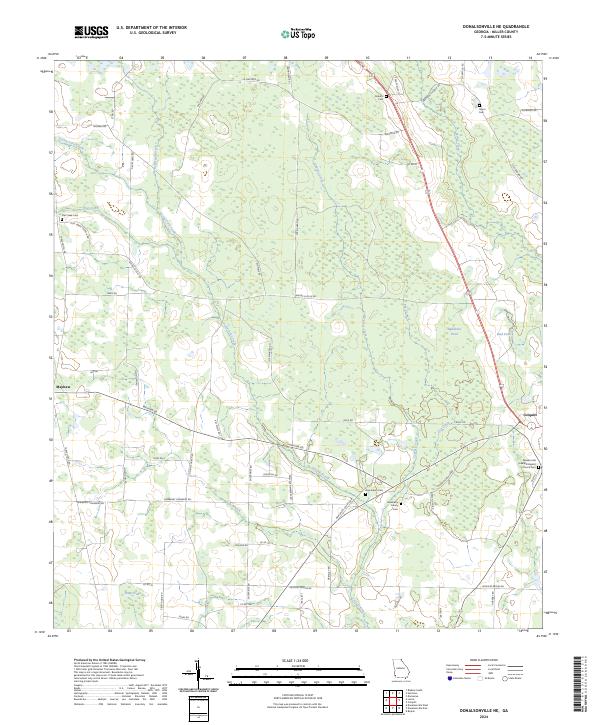
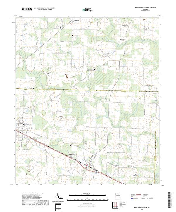
(24)- 2020 Map of Donalsonville East, 2020 Print
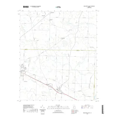 2020 Donalsonville East2020 Print · USGSCovers Miller County, including Donalsonville, Iron City, and other nearby areas
 - 2020 Map of Lucile, 2020 Print
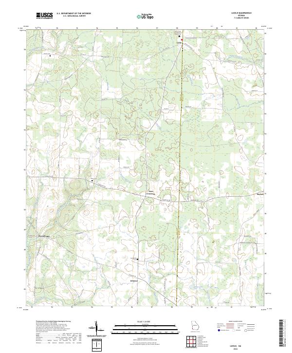
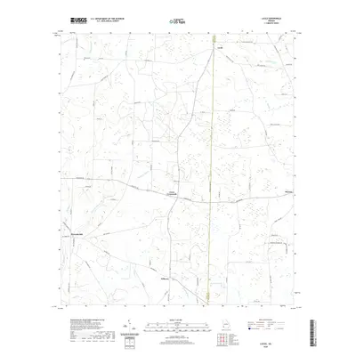 2020 Lucile2020 Print · USGSCovers Miller County, including Lucile, Mayhaw, and other nearby areas
 - 2020 Map of Donalsonville NE, 2020 Print
 2020 Donalsonville NE2020 Print · USGSCovers Miller County, including Colquitt, United States, and other nearby areas
 - 2020 Map of Hentown, 2020 Print
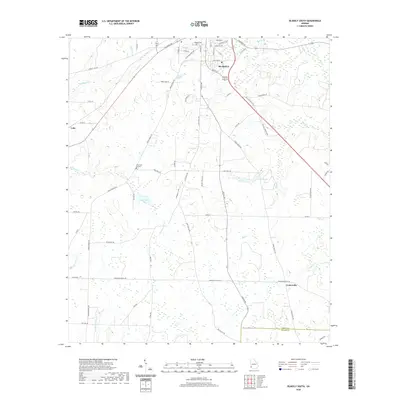
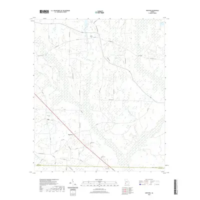 2020 Hentown2020 Print · USGSCovers Miller County, including New Hope, Cuba, and other nearby areas
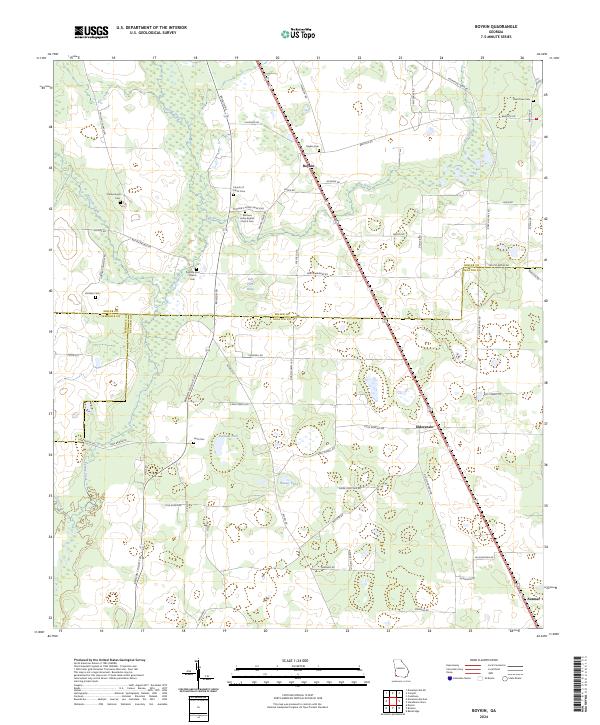
 - 2020 Map of Boykin, 2020 Print
 2020 Boykin2020 Print · USGSCovers Miller County, including Babcock, Boykin, and other nearby areas
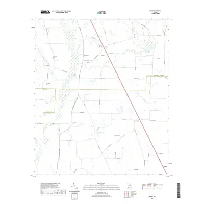
 - 2020 Map of Colquitt, 2020 Print
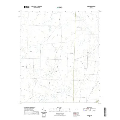
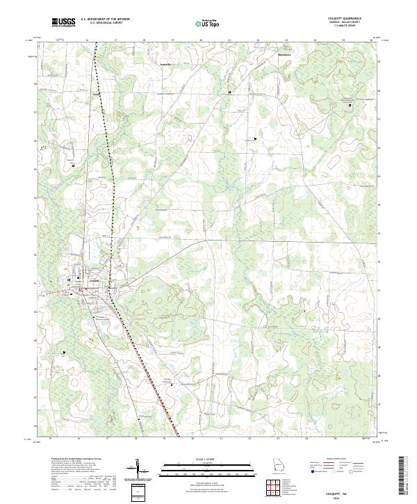
 2020 Colquitt2020 Print · USGSCovers Miller County, including Colquitt, Corea, and other nearby areas
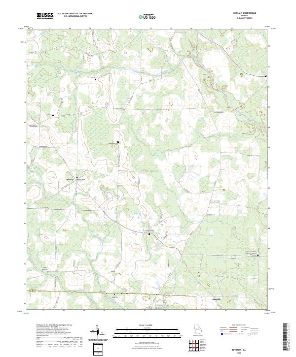
 - 2020 Map of Bethany, 2020 Print
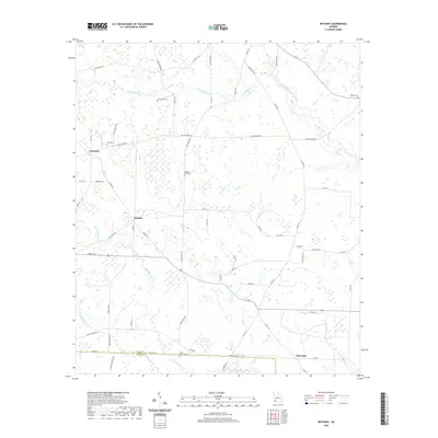 2020 Bethany2020 Print · USGSCovers Miller County, including Mimsville, Bethany, and other nearby areas
 - 2020 Map of Damascus, 2020 Print
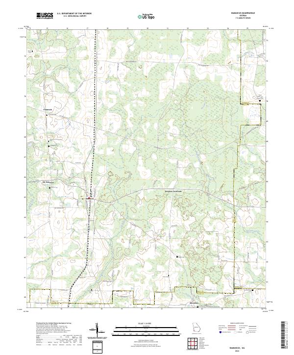
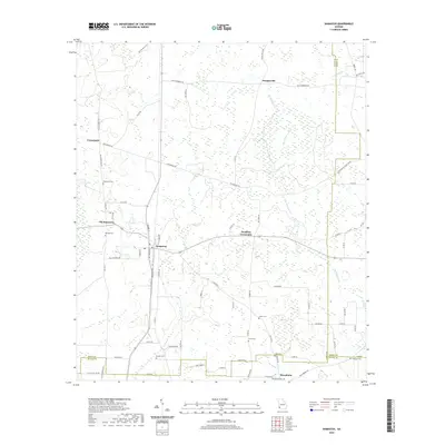 2020 Damascus2020 Print · USGSCovers Miller County, including Damascus, Old Damascus, and other nearby areas
 - 2020 Map of Donalsonville West, 2020 Print
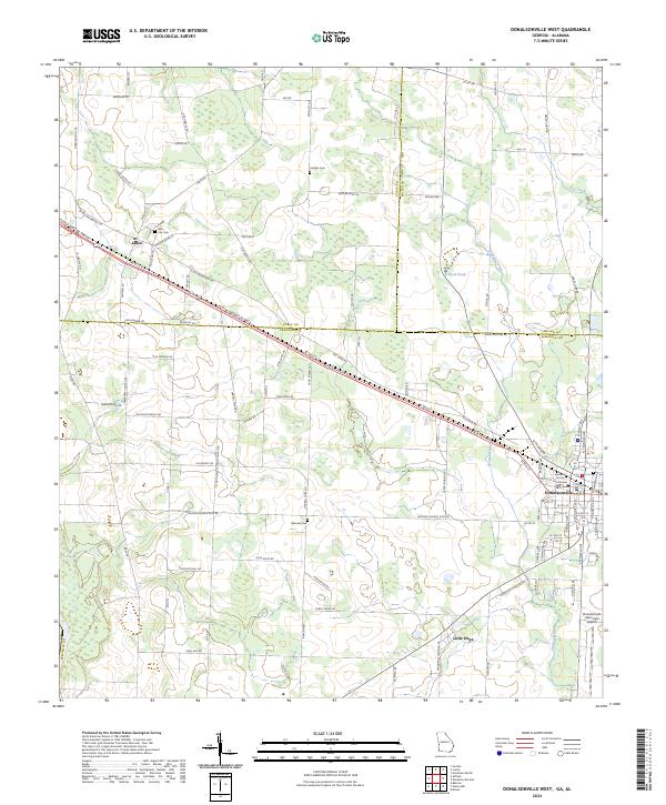
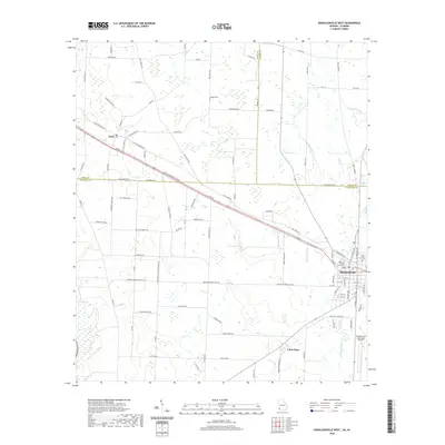 2020 Donalsonville West2020 Print · USGSCovers Miller County, including Donalsonville, Jakin, and other nearby areas
 - 2020 Map of Steadhams Store, 2020 Print
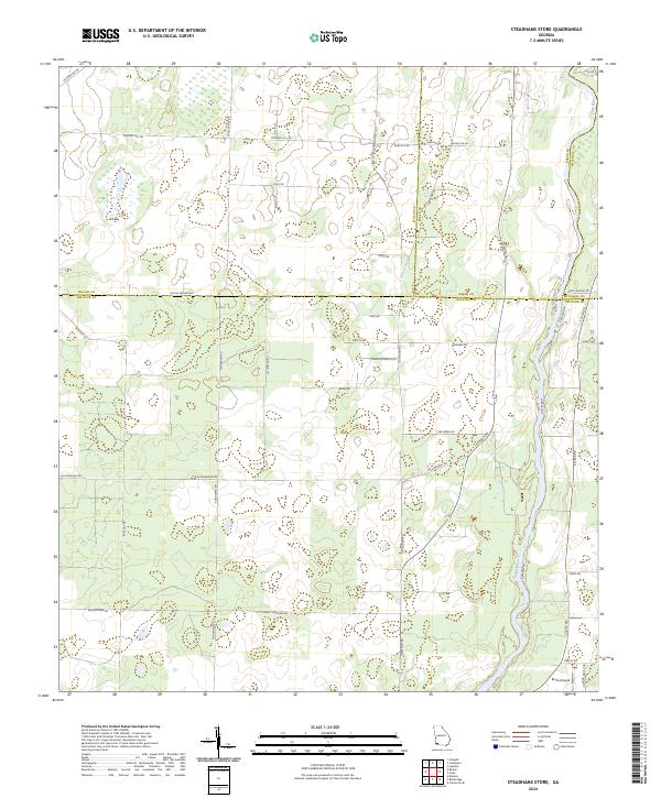
 2020 Steadhams Store2020 Print · USGSCovers Miller County, including Decatur County, Mitchell County, and other nearby areas
 - 2020 Map of Blakely South, 2020 Print
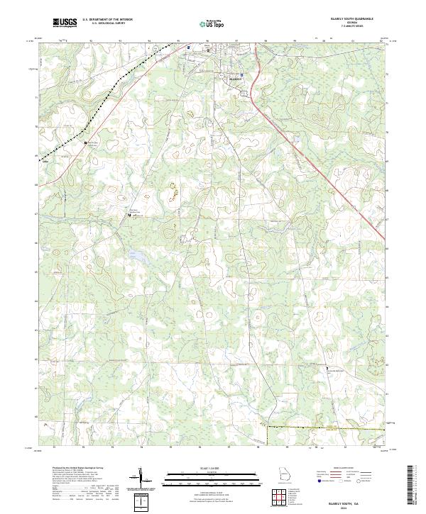
 2020 Blakely South2020 Print · USGSCovers Miller County, including Blakely, Centerville, and other nearby areas
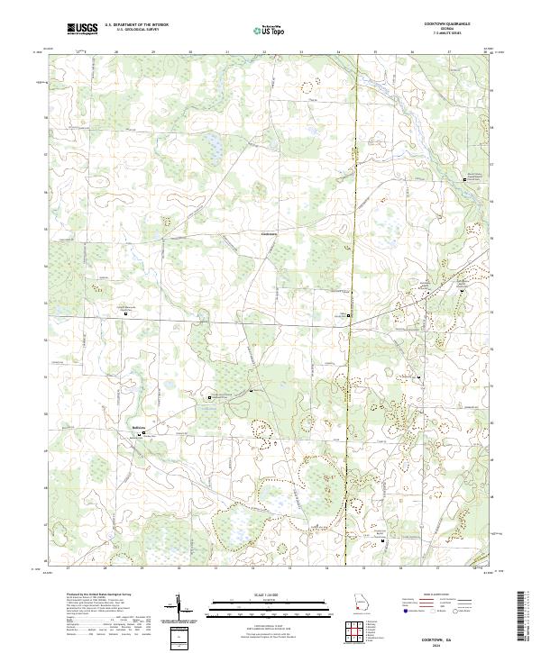
 - 2020 Map of Cooktown, 2020 Print
 2020 Cooktown2020 Print · USGSCovers Miller County, including Bellview, Cooktown, and other nearby areas
 - 2024 Map of Hentown, 2024 Print
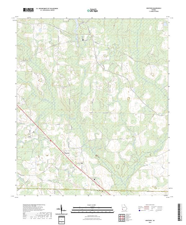 2024 Hentown2024 Print · USGSSouthwest Georgia's agricultural and wetland character is captured here in the contemporary era. Researchers can trace rural lineages through family-named landmarks and burial sites like Bush Cem, Dubose Cem, and the Hentown community.
 - 2024 Map of Boykin, 2024 Print
 2024 Boykin2024 Print · USGSMiller and Decatur Counties are captured in this recent survey, showcasing the rural heart of southwestern Georgia. Researchers can trace family sites at Boykin, Eldorendo, and Mothers Home Baptist Church Cem, or locate landmarks along Spring Creek.
 - 2024 Map of Cooktown, 2024 Print
 2024 Cooktown2024 Print · USGSSouthwest Georgia agriculture and rural life are documented here as of 2024, centered on the Miller and Baker County line. Genealogists can trace family names at Davis Cem, Donley Cem, and the Colquitt Mennonite Church Cem.
 - 2024 Map of Donalsonville NE, 2024 Print
 2024 Donalsonville NE2024 Print · USGSMiller County's agricultural heartland is documented here in the early twenty-first century, centered on the historic crossroads of Colquitt. Genealogists and historians can trace numerous family-named landmarks including the Newberry Family Cem and the Pleasant Hill Free Will Baptist Church Cem.
 - 2024 Map of Bethany, 2024 Print
 2024 Bethany2024 Print · USGSSouthwest Georgia's agricultural heartland is documented here in the early twenty-first century, showing the rural communities of Baker and Miller counties. Researchers can trace local history through many small cemeteries and country churches, including Stephen Bush Cem, Bethany, and Mimsville.
 - 2024 Map of Donalsonville West, 2024 Print
 2024 Donalsonville West2024 Print · USGSDonalsonville and Jakin represent the primary centers of commerce and community in Southwest Georgia during the early twenty-first century. Genealogists and researchers can locate family sites at City Cem and Oakview Cem or trace the rural routes leading to Little Hope.
 - 2024 Map of Lucile, 2024 Print
 2024 Lucile2024 Print · USGSEarly and Miller Counties are captured here in the contemporary era, showcasing a persistent landscape of rural crossroads and family settlements. Genealogists can trace local heritage through documented sites like White Plains Freewill Baptist Church Cem, Howards Mill, and Jones Crossroads.
 - 2024 Map of Damascus, 2024 Print
 2024 Damascus2024 Print · USGSDamascus and the surrounding rural landscape of Southwest Georgia are shown in detail as they appeared in the early 2020s. Genealogists and local historians can locate numerous small burial grounds, such as Keaton Cem, Tabb Cem, and the Damascus Community Cem.
 - 2024 Map of Steadhams Store, 2024 Print
 2024 Steadhams Store2024 Print · USGSThis southwestern Georgia landscape at the junction of four counties is defined by the winding Flint River and a network of rural homestead roads. Researchers can trace local heritage along Pond Town Rd, Stoney Lonesome Rd, and near Brock Airpark.
 - 2024 Map of Blakely South, 2024 Print
 2024 Blakely South2024 Print · USGSThe area surrounding the city of Blakely is documented here in its modern rural character, showing the intersection of Early and Miller counties. Genealogists can trace family landmarks like New Prospect Church Cem, Pine Lawn Gardens Cem, and the settlement of Luke.
 - 2024 Map of Colquitt, 2024 Print
 2024 Colquitt2024 Print · USGSMiller County's seat at Colquitt and the surrounding farm country are mapped here in the early twenty-first century. Genealogists can locate numerous rural burial sites including Thompson Church Cem, Rawls Cem, and Mt Olive Church Cem near the Macedonia settlement.
 - 2024 Map of Donalsonville East, 2024 Print
 2024 Donalsonville East2024 Print · USGSSouthwest Georgia's rural character is preserved in this contemporary survey of Seminole and Miller counties. Genealogists can trace family landmarks like Friendship Memorial Gardens Cem, New Home Cem, and the quiet settlement of Sharphagen.
End of results
Showing maps 1-24 of 24
Top cities of Miller County
Frequently asked questions
- What are the different types of historical maps available for Miller County?
- What is the oldest map of Miller County?
- Where can I purchase historical maps of Miller County for my home or office?
- Where can I download high-res historical maps of Miller County?
- Are there historical topographic maps available for Miller County?
- Is there historical aerial imagery available for Miller County?
- Where are historical maps of Miller County sourced from?