Old Maps of Miller County, Georgia for Metal Detecting
Plan your next treasure hunt with 76 historic maps of Miller County. Find old homesites, ghost towns, trails, and gathering spots that may be lost to time — perfect for identifying promising metal detecting locations.
- Locate forgotten sites: Uncover places like long-lost settlements, abandoned rail lines, or gathering spots.
- Plan better hunts: Use map overlays combined with LiDAR or satellite views to narrow in on historically rich areas.
- Made for detectorists: Thousands of hobbyists use these maps to discover relics, coins, and hidden history.
Use these historic maps to boost your research and find new opportunities beneath the surface of Miller County.
Miller County, GA maps
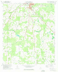
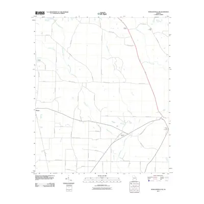
(76)- 1953 Map of Dothan, 1966 Print
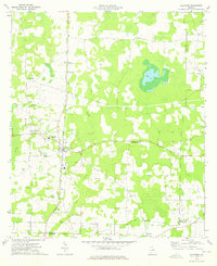
 1953 Dothan1966 Print · USGSSoutheast Alabama and Southwest Georgia are captured during a period of massive hydraulic and military expansion in the mid-fifties. Genealogists and historians can trace rural landmarks like Antioch Church and School, the Andrew Jackson Monument, and the early footprint of Fort Rucker Military Reservation.3 unique versions available
 - 1954 Map of Dothan
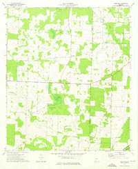
 1954 Dothan1954 Print · USGSSoutheast Alabama and Southwest Georgia are seen here in the mid-fifties, during a decade of military expansion and rural transition. Genealogists can trace the location of country schools like Little Zion School or the grounds of Kolomoki Mounds State Park.
 - 1955 Map of Dothan
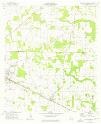
 1955 Dothan1955 Print · USGSSoutheast Alabama and Southwest Georgia are captured here in the mid-fifties, showing a landscape of river-port history and growing military bases. Researchers can trace rural life via the Andrew Jackson Monument, Bauxite mines, and the Central of Georgia RR.
 - 1973 Map of Blakely South, 1975 Print
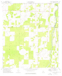
 1973 Blakely South1975 Print · USGSEarly County in the early seventies shows the southern expansion of Blakely alongside established rural crossroads. Researchers can trace family history through numerous landmarks like Jerusalem Ch, St Maryland Ch, and the crossing at Susian Ford.
 - 1973 Map of Hentown, 1975 Print
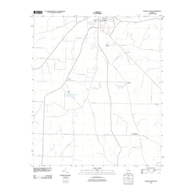
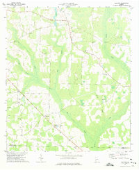 1973 Hentown1975 Print · USGSEarly County in the early seventies remains a landscape of small farming communities and family-named landmarks. Genealogists can trace rural life through numerous sites like Hentown, Cuba Ch, and the Houston Cem near the Miller County line.
 - 1974 Map of Boykin, 1976 Print
 1974 Boykin1976 Print · USGSThe rural expanse of Miller and Decatur counties is captured here in the mid-seventies, showing the rail-side growth of communities like Boykin and Eldorendo. Genealogists can locate family landmarks including Lane Cem, Evergreen Ch, and Pilgrims Rest Ch.
 - 1974 Map of Donalsonville NE, 1976 Print
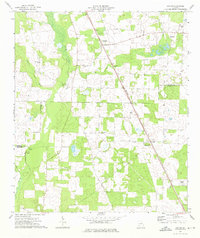
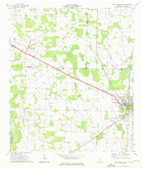
 1974 Donalsonville NE1976 Print · USGSMiller County's rural landscape is captured here in the mid-1970s, showing a region defined by agricultural crossroads and creek-side settlements. Genealogists and local historians can locate rural landmarks like Shiloh Ch, Roberts Cem, and the community at Colquitt.
 - 1974 Map of Damascus, 1976 Print
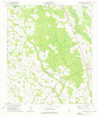
 1974 Damascus1976 Print · USGSIn the mid-seventies, this portion of Early County centered on the town of Damascus and the Seaboard Coast Line railroad. Local researchers can trace family landmarks like Billings Cem, Gross Cem, and the historic site of Old Damascus.
 - 1974 Map of Cooktown, 1976 Print
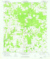
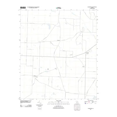
 1974 Cooktown1976 Print · USGSMiller and Baker counties in the mid-seventies remained a rural landscape of scattered homesteads and community-centered churches. Researchers can trace family ties through landmarks like Cooktown, Bellview, and local sites such as Kelly Cem and Kimbell Chapel.
 - 1974 Map of Donalsonville East, 1976 Print
 1974 Donalsonville East1976 Print · USGSSeminole County was a landscape of quiet agricultural hamlets and rail-side settlements in the mid-seventies. Genealogists can trace family landmarks like Friendship Cem and Miller Cems, or locate rural congregations at Corinth Ch and New Home Ch.
 - 1974 Map of Steinham Store, 1976 Print
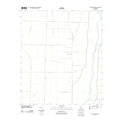
 1974 Steinham Store1976 Print · USGSThe rural Georgia backcountry in the mid-seventies is defined here by the winding Flint River and a network of quiet country crossroads. Genealogists can trace family connections to several local congregations like First Macedonia Ch and the landmark Steinham Store.
 - 1974 Map of Colquitt, 1976 Print
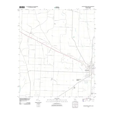
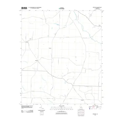
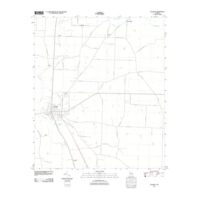
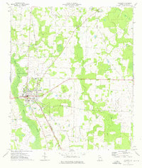 1974 Colquitt1976 Print · USGSThe Miller County seat at Colquitt is shown here in the mid-1970s as a hub for the Seaboard Coast Line railroad. Researchers can trace local family landmarks and rural life at Shepard Cem, Mt Olive Ch, and the settlement of Jeterville.
 - 1974 Map of Donalsonville West, 1976 Print
 1974 Donalsonville West1976 Print · USGSDonalsonville and Jakin appear at a mid-seventies crossroads of rail and river commerce along the Seminole and Early county lines. Researchers can trace rural community life through numerous landmarks like Newberry Ch, the Seaboard Coast Line tracks, and Little Hope.
 - 1974 Map of Bethany, 1976 Print
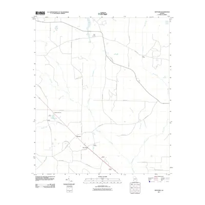
 1974 Bethany1976 Print · USGSThe rural borderlands of Baker and Miller counties are captured here in the mid-1970s, showcasing a landscape of small agricultural settlements and creek drainages. Genealogists can trace family footprints through sites like Bethany, Oak Grove Cem, and Baker Academy.
 - 1974 Map of Lucile, 1976 Print
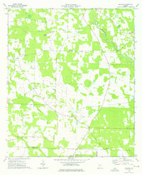
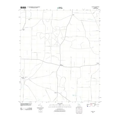
 1974 Lucile1976 Print · USGSSouthwest Georgia in the mid-seventies remained a rural landscape of scattered homesteads and county-line crossroads. Genealogists and local historians can trace family locations near Allens Chapel, the settlement at Jones Crossroads, or the waters of Howards Mill Creek.2 unique versions available
 - 1981 Map of Camilla, 1982 Print
 1981 Camilla1982 Print · USGSSouthwest Georgia in the early 1980s is defined by the winding Flint River and the ancient legacy of Kolomoki Mounds State Park. Researchers can trace the agricultural and rail economy through junctions like Blakely, Pelham, and the rail lines of the Central of Georgia.2 unique versions available
 - 2011 Map of Steadhams Store, 2011 Print
 2011 Steadhams Store2011 Print · USGSCovers Miller County, including Decatur County, Mitchell County, and other nearby areas
 - 2011 Map of Donalsonville West, 2011 Print
 2011 Donalsonville West2011 Print · USGSCovers Miller County, including Donalsonville, Jakin, and other nearby areas
 - 2011 Map of Lucile, 2011 Print
 2011 Lucile2011 Print · USGSCovers Miller County, including Lucile, Mayhaw, and other nearby areas
 - 2011 Map of Cooktown, 2011 Print
 2011 Cooktown2011 Print · USGSCovers Miller County, including Bellview, Cooktown, and other nearby areas
 - 2011 Map of Bethany, 2011 Print
 2011 Bethany2011 Print · USGSCovers Miller County, including Mimsville, Bethany, and other nearby areas
 - 2011 Map of Colquitt, 2011 Print
 2011 Colquitt2011 Print · USGSCovers Miller County, including Colquitt, Corea, and other nearby areas
 - 2011 Map of Hentown, 2011 Print
 2011 Hentown2011 Print · USGSCovers Miller County, including New Hope, Cuba, and other nearby areas
 - 2011 Map of Blakely South, 2011 Print
 2011 Blakely South2011 Print · USGSCovers Miller County, including Blakely, Centerville, and other nearby areas
 - 2011 Map of Donalsonville NE, 2011 Print
 2011 Donalsonville NE2011 Print · USGSCovers Miller County, including Colquitt, United States, and other nearby areas
Showing maps 1-25 of 76
Top cities of Miller County
Frequently asked questions
- What are the different types of historical maps available for Miller County?
- What is the oldest map of Miller County?
- Where can I purchase historical maps of Miller County for my home or office?
- Where can I download high-res historical maps of Miller County?
- Are there historical topographic maps available for Miller County?
- Is there historical aerial imagery available for Miller County?
- Where are historical maps of Miller County sourced from?