
1974 Map of Donalsonville NE
USGS Topo · Published 1976About this map
Spring Creek and its many tributaries, including Aycocks Creek and Cypress Creek, define the low-lying wetlands of Miller County during the mid-1970s. The landscape is a network of small agricultural settlements and rural community centers connected by state roads and local bypasses. The map records several small country churches that served as anchors for local life, such as Shiloh Ch, South Mt Zion Ch, and Oak Grove Ch.
Find a feature on this map
19 named features on this map. Tap any name to fly to it.
Don’t see what you’re looking for? This feature index may not catch every label — zoom into the map to look around manually.
Map Details
Editions of this 1974 Donalsonville NE Map
This is the sole edition of this map. No revisions or reprints were ever made.
Other maps of this area

1953 · Dothan
USGS Topo · 1:250,000

1954 · Dothan
USGS Topo · 1:250,000

1955 · Dothan
USGS Topo · 1:250,000

1973 · Blakely South
USGS Topo · 1:24,000

1973 · Hentown
USGS Topo · 1:24,000

1974 · Boykin
USGS Topo · 1:24,000

1974 · Damascus
USGS Topo · 1:24,000
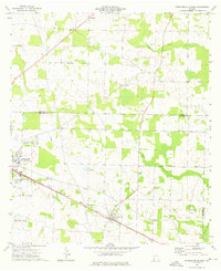
1974 · Donalsonville East
USGS Topo · 1:24,000
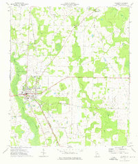
1974 · Colquitt
USGS Topo · 1:24,000
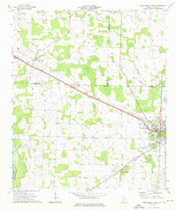
1974 · Donalsonville West
USGS Topo · 1:24,000