
1974 Map of Damascus
USGS Topo · Published 1976About this map
The town of Damascus serves as the central hub of this agricultural landscape in Early County, Georgia, during the mid-1970s. The Seaboard Coast Line railroad runs north-to-south, anchoring the development of small settlements and rural crossroads. A distinctive shift in the landscape is recorded here between the modern town and the site of Old Damascus to the west, offering a clear record of local migration and municipal change.
Find a feature on this map
32 named features on this map. Tap any name to fly to it.
Don’t see what you’re looking for? This feature index may not catch every label — zoom into the map to look around manually.
Map Details
Editions of this 1974 Damascus Map
This is the sole edition of this map. No revisions or reprints were ever made.
Other maps of this area

1953 · Dothan
USGS Topo · 1:250,000

1954 · Dothan
USGS Topo · 1:250,000

1955 · Dothan
USGS Topo · 1:250,000

1973 · Bancroft
USGS Topo · 1:24,000

1973 · Hentown
USGS Topo · 1:24,000

1974 · Donalsonville NE
USGS Topo · 1:24,000

1974 · Arlington
USGS Topo · 1:24,000

1974 · Cooktown
USGS Topo · 1:24,000
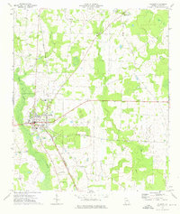
1974 · Colquitt
USGS Topo · 1:24,000
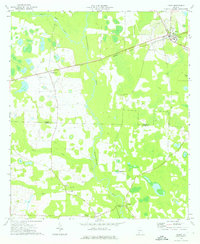
1974 · Leary
USGS Topo · 1:24,000