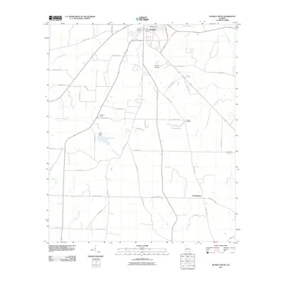
2011 Map of Blakely South
USGS Topo · Published 2011About this map
The southern portion of Blakely transitions into a grid of rural agricultural lands and timber tracts, characteristic of Early County's landscape in the early 21st century. The map centers on the drainage networks formed by Sawhatchee Creek and Blue Creek, where water management is evident in structures like Bridges Lake Dam and Lake Clara Dam. Local landmarks such as the Blakely Cemetery and Pine Lawn Gardens anchor the northern edge of the sheet, while the small settlement of Centerville marks a crossroads in the southeast. This survey captures the modern road network, including Chancey Mill Rd and Damascus Hilton Rd, reflecting how the historical mill sites and old thoroughfares continue to shape the county's contemporary geography and property boundaries.
Find a feature on this map
48 named features on this map. Tap any name to fly to it.
Don’t see what you’re looking for? This feature index may not catch every label — zoom into the map to look around manually.
Map Details
Editions of this 2011 Blakely South Map
This is the sole edition of this map. No revisions or reprints were ever made.
Other maps of this area

1953 · Dothan
USGS Topo · 1:250,000

1954 · Dothan
USGS Topo · 1:250,000

1955 · Dothan
USGS Topo · 1:250,000

1970 · Gordon
USGS Topo · 1:24,000

1970 · Columbia NE
USGS Topo · 1:24,000

1970 · Columbia
USGS Topo · 1:24,000

1973 · Blakely North
USGS Topo · 1:24,000

1973 · Bancroft
USGS Topo · 1:24,000

1973 · Blakely South
USGS Topo · 1:24,000

1973 · Hentown
USGS Topo · 1:24,000