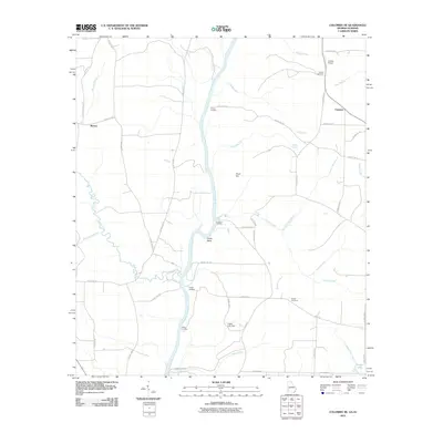
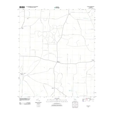
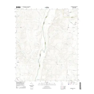
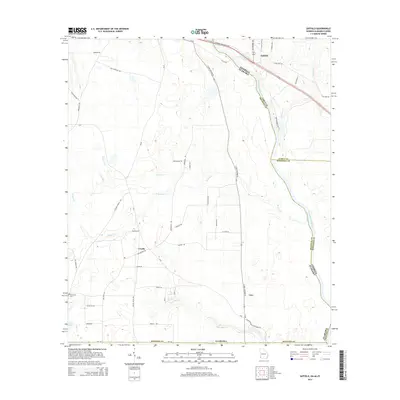
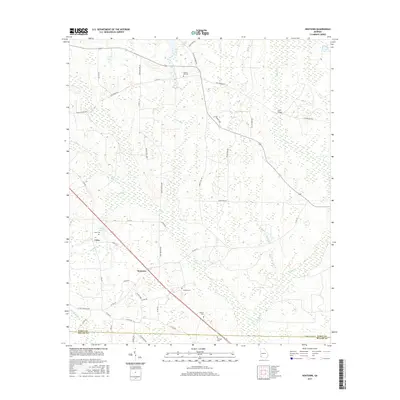
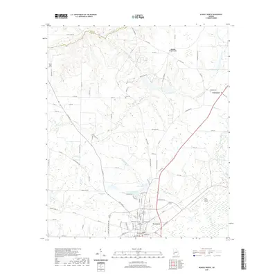
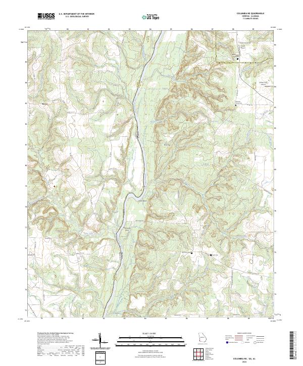
1970 Map of Columbia NE
USGS Topo · Published 1972About this map
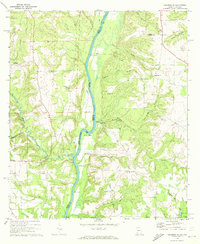
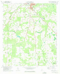
The Chattahoochee River defines the state line between Alabama and Georgia in this 1970 survey, winding through a landscape of creek-fed valleys and rural settlements. Several river landings, including Gilbert Landing and Hutchins Landing, point to the enduring importance of the waterway as a focal point for the region's transport and economy. In the surrounding hills, a network of country roads connects small communities like Haleburg and Barnes with a high concentration of local houses of worship and burial grounds, such as Oak Grove Cem Ch and Bellevue Cem Ch.
Find a feature on this map
37 named features on this map. Tap any name to fly to it.
Don’t see what you’re looking for? This feature index may not catch every label — zoom into the map to look around manually.
Map Details
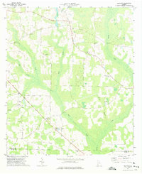
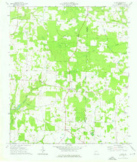
Editions of this 1970 Columbia NE Map
This is the sole edition of this map. No revisions or reprints were ever made.
Historical Maps of Haleburg Through Time
42 maps found
1970 Columbia NE
Early County, GA
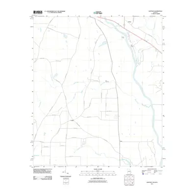
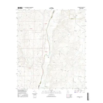
1970 Saffold
Early County, GA
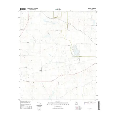
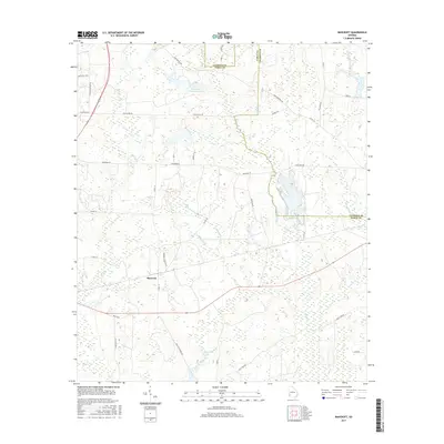
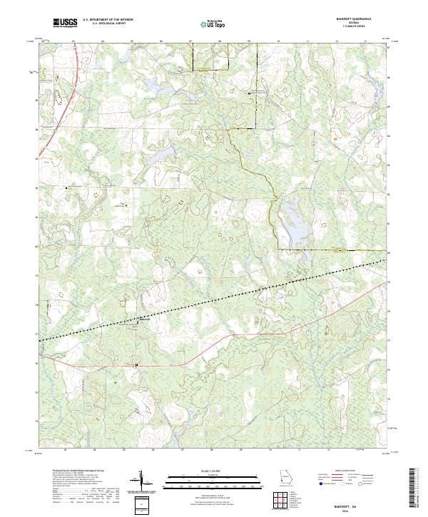
1973 Bancroft
Early County, GA
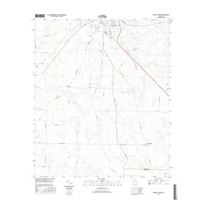
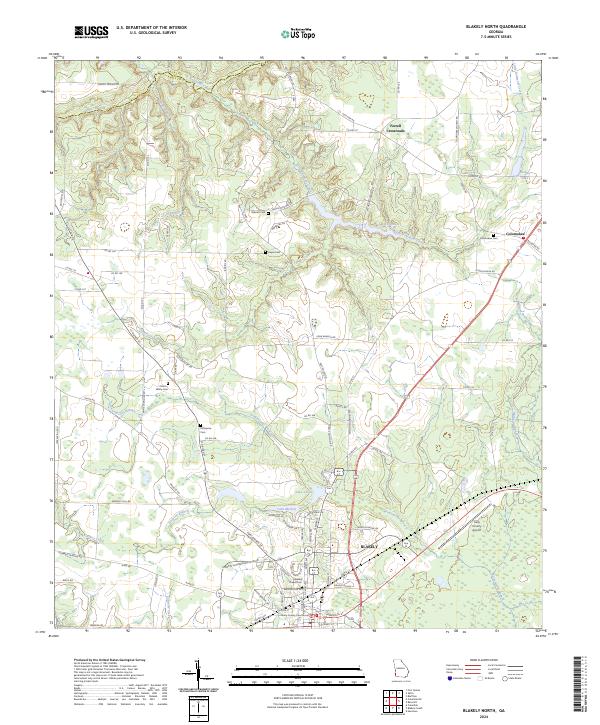
1973 Blakely North
Early County, GA
1973 Blakely South
Early County, GA
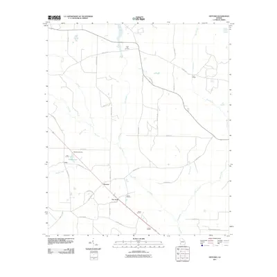
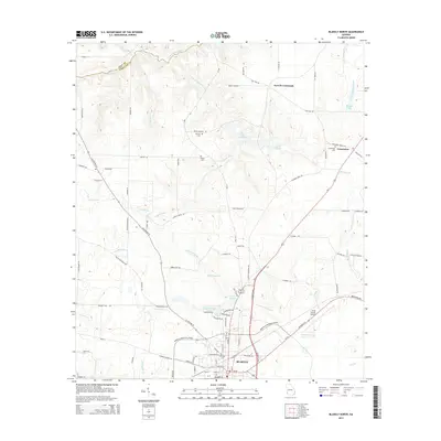
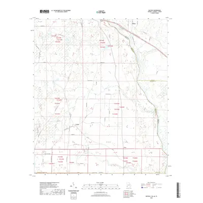
1973 Hentown
Early County, GA
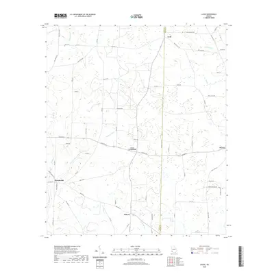
1974 Lucile
Early County, GA
2011 Bancroft
Early County, GA
2011 Blakely North
Early County, GA
2011 Blakely South
Early County, GA
2011 Columbia NE
Early County, GA
2011 Hentown
Early County, GA
2011 Lucile
Early County, GA
2011 Saffold
Early County, GA
2014 Bancroft
Early County, GA
2014 Blakely North
Early County, GA
2014 Blakely South
Early County, GA
2014 Columbia NE
Early County, GA
2014 Hentown
Early County, GA
2014 Lucile
Early County, GA
2014 Saffold
Early County, GA
2017 Bancroft
Early County, GA

2017 Blakely North
Early County, GA
2017 Blakely South
Early County, GA
2017 Columbia NE
Early County, GA
2017 Hentown
Early County, GA
2017 Lucile
Early County, GA
2017 Saffold
Early County, GA
2020 Bancroft
Early County, GA
2020 Blakely North
Early County, GA
2020 Blakely South
Early County, GA
2020 Columbia NE
Early County, GA
2020 Hentown
Early County, GA
2020 Lucile
Early County, GA
2020 Saffold
Early County, GA
2024 Bancroft
Early County, GA
2024 Blakely North
Early County, GA
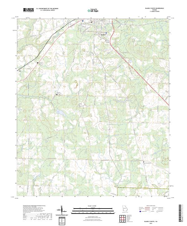
2024 Blakely South
Early County, GA
2024 Columbia NE
Early County, GA
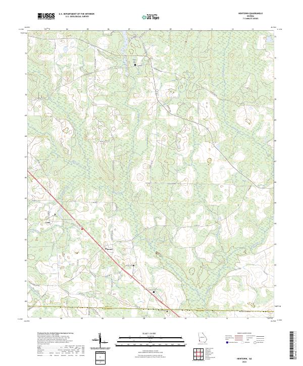
2024 Hentown
Early County, GA
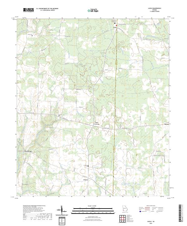
2024 Lucile
Early County, GA
2024 Saffold
Early County, GA